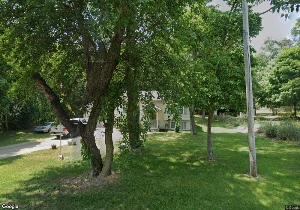
56699 Windsor Ave South Bend, IN 46619
Estimated Value: $234,000 - $270,000
4
Beds
2
Baths
1,920
Sq Ft
$133/Sq Ft
Est. Value
About This Home
This home is located at 56699 Windsor Ave, South Bend, IN 46619 and is currently estimated at $254,507, approximately $132 per square foot. 56699 Windsor Ave is a home located in St. Joseph County with nearby schools including Paton-Churdan Elementary School, Wilson Elementary School, and Clay Intermediate Center.
Ownership History
Date
Name
Owned For
Owner Type
Purchase Details
Closed on
Jun 18, 2011
Sold by
Rusk Mason L and Rusk Stephanie S
Bought by
Bayman & Rusk Builders Inc
Current Estimated Value
Purchase Details
Closed on
Jun 24, 2010
Sold by
Bayman & Rusk Builders Inc
Bought by
Williams Ralph T
Purchase Details
Closed on
Apr 8, 2009
Sold by
Woodcox Mary and Hastings Janice
Bought by
Rusk Mason L and Rusk Stephanie S
Create a Home Valuation Report for This Property
The Home Valuation Report is an in-depth analysis detailing your home's value as well as a comparison with similar homes in the area
Home Values in the Area
Average Home Value in this Area
Purchase History
| Date | Buyer | Sale Price | Title Company |
|---|---|---|---|
| Bayman & Rusk Builders Inc | -- | Metropolitan Title | |
| Williams Ralph T | -- | Metropolitan Title | |
| Rusk Mason L | -- | Metropolitan Title In Llc |
Source: Public Records
Tax History Compared to Growth
Tax History
| Year | Tax Paid | Tax Assessment Tax Assessment Total Assessment is a certain percentage of the fair market value that is determined by local assessors to be the total taxable value of land and additions on the property. | Land | Improvement |
|---|---|---|---|---|
| 2024 | $1,428 | $144,600 | $29,800 | $114,800 |
| 2023 | $1,373 | $146,200 | $29,700 | $116,500 |
| 2022 | $1,519 | $147,500 | $29,700 | $117,800 |
| 2021 | $1,606 | $142,700 | $15,600 | $127,100 |
| 2020 | $1,585 | $144,100 | $15,600 | $128,500 |
| 2019 | $1,342 | $144,700 | $14,800 | $129,900 |
| 2018 | $1,391 | $146,900 | $14,800 | $132,100 |
| 2017 | $1,447 | $146,100 | $14,800 | $131,300 |
| 2016 | $1,491 | $147,600 | $14,800 | $132,800 |
| 2014 | $1,527 | $148,600 | $14,800 | $133,800 |
Source: Public Records
Map
Nearby Homes
- 56451 Quince Rd
- 57115 White Pine Trail
- 57223 Pine Needle Ct
- 57210 White Pine Trail
- 26541 Gaited Horse Trail
- 55629 Cardinal Dr
- 26366 Hummingbird Rd
- 57248 Mcquade St
- 27180 Harrison Rd
- 57845 Crumstown Hwy
- 57860 Crumstown Hwy
- 54962 Quince Rd
- 55915 Dorn St
- 57195 Pinewood Dr
- 56435 Eastlea Dr
- 54483 Whitesell Dr
- 54520 Norwood Dr
- 54492 Avalon Dr
- 25260 Fillmore Rd
- 0 Lakewood Dr
- 56625 Windsor Ave
- 58 & 59 Windsor Ave
- 56601 Windsor Ave
- 56610 Windsor Ave
- 56600 Windsor Ave
- 56580 Windsor Ave
- 56600 Pear Rd
- 56659 Windsor Ave
- 56618 Pear Rd
- 56596 Pear Rd
- 56650 Windsor Ave
- 56556 Windsor Ave
- 56640 Pear Rd
- 56601 Quince Rd
- 56585 Quince Rd
- 56562 Pear Rd
- 56670 Windsor Ave
- 56662 Pear Rd
- 56555 Quince Rd
- 56537 Windsor Ave