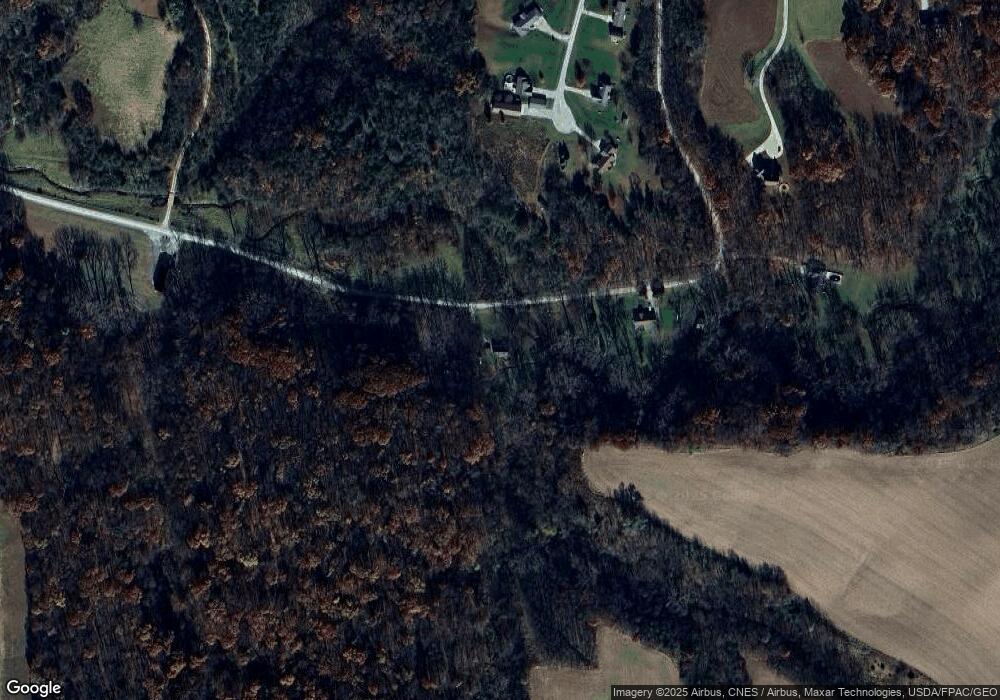
567 162nd Ave New Boston, IL 61272
Estimated Value: $174,132 - $274,000
--
Bed
--
Bath
--
Sq Ft
3
Acres
About This Home
This home is located at 567 162nd Ave, New Boston, IL 61272 and is currently estimated at $230,533. 567 162nd Ave is a home.
Create a Home Valuation Report for This Property
The Home Valuation Report is an in-depth analysis detailing your home's value as well as a comparison with similar homes in the area
Home Values in the Area
Average Home Value in this Area
Tax History Compared to Growth
Tax History
| Year | Tax Paid | Tax Assessment Tax Assessment Total Assessment is a certain percentage of the fair market value that is determined by local assessors to be the total taxable value of land and additions on the property. | Land | Improvement |
|---|---|---|---|---|
| 2024 | $1,632 | $59,830 | $12,815 | $47,015 |
| 2023 | $1,632 | $54,445 | $11,660 | $42,785 |
| 2022 | $1,866 | $53,760 | $11,515 | $42,245 |
| 2021 | $1,897 | $49,245 | $10,550 | $38,695 |
| 2020 | $1,924 | $46,715 | $10,045 | $36,670 |
| 2019 | $1,938 | $45,575 | $9,800 | $35,775 |
| 2018 | $1,900 | $47,185 | $10,145 | $37,040 |
| 2017 | $1,838 | $44,260 | $9,515 | $34,745 |
| 2016 | $1,835 | $41,675 | $8,960 | $32,715 |
| 2015 | $1,819 | $37,710 | $8,910 | $28,800 |
| 2014 | $1,708 | $36,900 | $8,720 | $28,180 |
| 2013 | $2,103 | $36,050 | $6,960 | $29,090 |
| 2010 | $2,192 | $37,345 | $7,210 | $30,135 |
Source: Public Records
Map
Nearby Homes
- 1771 45th St
- 18316 266th St W
- 0 162nd Ave W
- PARCEL
- 17138 County Road X61
- 13409 311th St W
- 0000 County Road X61
- 10257 County Road G44x
- 944 45th St
- 12700 345th St W
- 0000
- 1909 Wallace St
- 1908 Sampson St
- 105 Spencer Ave
- LOT 17 Briman Prairie
- LOT 5 Pine Ridge
- LOT 4 Pine Ridge
- LOT 6 Pine Ridge
- 146 North St
- 0 Towhead Island Unit 23-716
