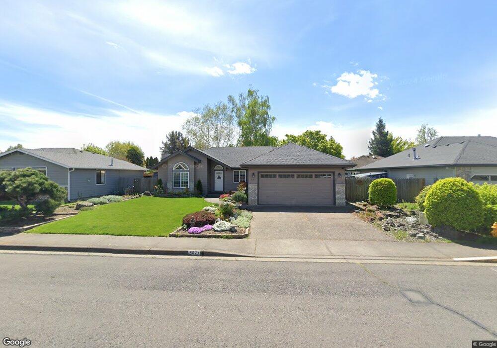
567 Brandon St Central Point, OR 97502
Estimated Value: $375,788 - $447,000
3
Beds
2
Baths
1,470
Sq Ft
$286/Sq Ft
Est. Value
About This Home
This home is located at 567 Brandon St, Central Point, OR 97502 and is currently estimated at $420,447, approximately $286 per square foot. 567 Brandon St is a home located in Jackson County with nearby schools including Richardson Elementary School, Scenic Middle School, and Crater High School.
Ownership History
Date
Name
Owned For
Owner Type
Purchase Details
Closed on
Apr 28, 2015
Sold by
Ridley Theadora P and Ridley Christopher Shea
Bought by
Ridley Theadora and Theadora Ridley Trust
Current Estimated Value
Purchase Details
Closed on
Aug 20, 2012
Sold by
Ridley Theadora P
Bought by
Ridley Theadora P and Ridley Christopher Shea
Home Financials for this Owner
Home Financials are based on the most recent Mortgage that was taken out on this home.
Original Mortgage
$60,000
Interest Rate
3.53%
Mortgage Type
New Conventional
Create a Home Valuation Report for This Property
The Home Valuation Report is an in-depth analysis detailing your home's value as well as a comparison with similar homes in the area
Purchase History
| Date | Buyer | Sale Price | Title Company |
|---|---|---|---|
| Ridley Theadora | -- | None Available | |
| Ridley Theadora P | -- | First American |
Source: Public Records
Mortgage History
| Date | Status | Borrower | Loan Amount |
|---|---|---|---|
| Closed | Ridley Theadora P | $60,000 |
Source: Public Records
Tax History
| Year | Tax Paid | Tax Assessment Tax Assessment Total Assessment is a certain percentage of the fair market value that is determined by local assessors to be the total taxable value of land and additions on the property. | Land | Improvement |
|---|---|---|---|---|
| 2026 | $4,050 | $244,730 | -- | -- |
| 2025 | $3,950 | $237,610 | $65,010 | $172,600 |
| 2024 | $3,950 | $230,690 | $63,120 | $167,570 |
| 2023 | $3,823 | $223,980 | $61,280 | $162,700 |
| 2022 | $3,734 | $223,980 | $61,280 | $162,700 |
| 2021 | $3,628 | $217,460 | $59,500 | $157,960 |
| 2020 | $3,522 | $211,130 | $57,770 | $153,360 |
| 2019 | $3,435 | $199,020 | $54,460 | $144,560 |
| 2018 | $3,330 | $193,230 | $52,870 | $140,360 |
| 2017 | $3,247 | $193,230 | $52,870 | $140,360 |
| 2016 | $3,152 | $182,150 | $49,840 | $132,310 |
| 2015 | $3,020 | $182,150 | $49,840 | $132,310 |
| 2014 | $2,943 | $171,700 | $46,980 | $124,720 |
Source: Public Records
Map
Nearby Homes
- 802 Brandon St
- 21 Hickory Ln
- 871 Holley Way
- 895 Holley Way
- 556 Glenn Way
- 349 W Pine St
- 166 Nadine Ln
- 884 Mendolia Way
- 436 Cheney Loop
- 420 Mayberry Ln
- 827 Isherwood Dr
- 831 Isherwood Dr
- 114 Cedar St
- 407 Silver Creek Dr
- 887 Silver Fox Dr
- 220 S 3rd St
- 3220 Freeland Rd
- 3307 Freeland Rd
- 350 Alder St
- 3371 Freeland Rd
Your Personal Tour Guide
Ask me questions while you tour the home.