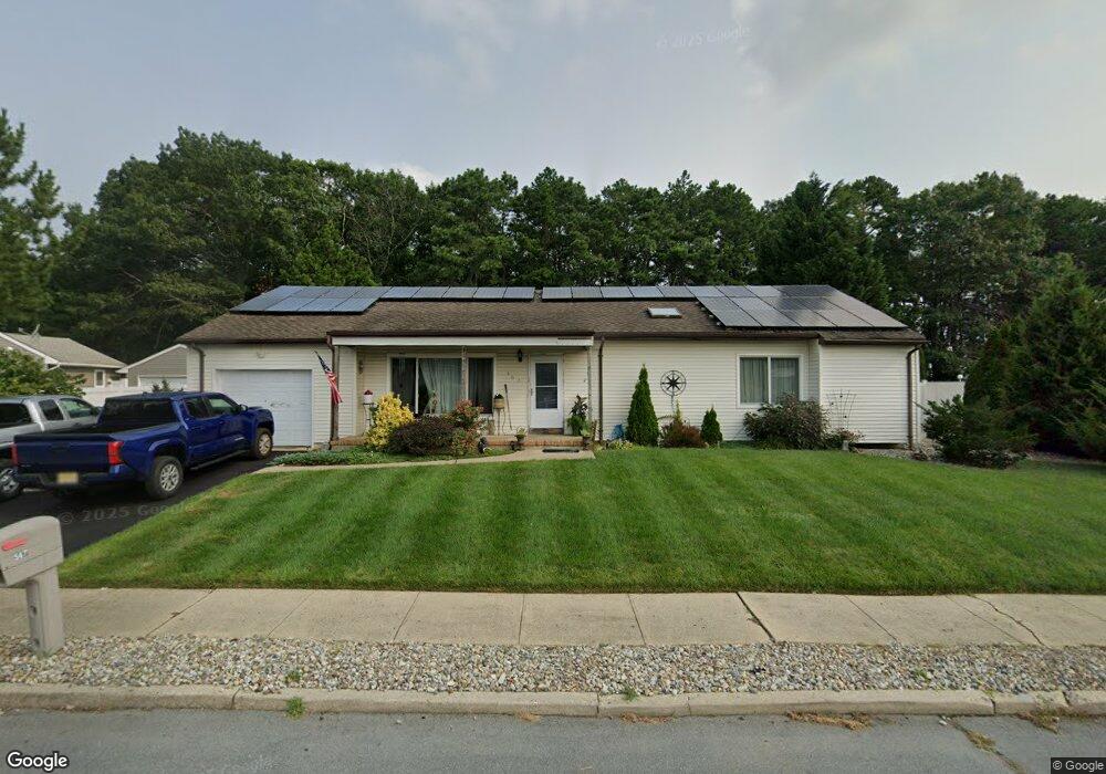
567 Brentwood Rd Forked River, NJ 08731
Lacey Township NeighborhoodEstimated Value: $460,336 - $525,000
3
Beds
2
Baths
1,705
Sq Ft
$292/Sq Ft
Est. Value
About This Home
This home is located at 567 Brentwood Rd, Forked River, NJ 08731 and is currently estimated at $498,334, approximately $292 per square foot. 567 Brentwood Rd is a home located in Ocean County with nearby schools including Lacey Township High School.
Ownership History
Date
Name
Owned For
Owner Type
Purchase Details
Closed on
Aug 12, 1997
Sold by
Wallace Neal
Bought by
Cabrera Carlos and Cabrera Maria
Current Estimated Value
Home Financials for this Owner
Home Financials are based on the most recent Mortgage that was taken out on this home.
Original Mortgage
$104,000
Outstanding Balance
$15,616
Interest Rate
7.56%
Mortgage Type
FHA
Estimated Equity
$482,718
Create a Home Valuation Report for This Property
The Home Valuation Report is an in-depth analysis detailing your home's value as well as a comparison with similar homes in the area
Home Values in the Area
Average Home Value in this Area
Purchase History
| Date | Buyer | Sale Price | Title Company |
|---|---|---|---|
| Cabrera Carlos | $115,900 | -- |
Source: Public Records
Mortgage History
| Date | Status | Borrower | Loan Amount |
|---|---|---|---|
| Open | Cabrera Carlos | $104,000 |
Source: Public Records
Tax History Compared to Growth
Tax History
| Year | Tax Paid | Tax Assessment Tax Assessment Total Assessment is a certain percentage of the fair market value that is determined by local assessors to be the total taxable value of land and additions on the property. | Land | Improvement |
|---|---|---|---|---|
| 2025 | $6,515 | $257,100 | $102,500 | $154,600 |
| 2024 | $6,091 | $257,100 | $102,500 | $154,600 |
| 2023 | $5,818 | $257,100 | $102,500 | $154,600 |
| 2022 | $5,818 | $257,100 | $102,500 | $154,600 |
| 2021 | $5,720 | $257,100 | $102,500 | $154,600 |
| 2020 | $5,538 | $257,100 | $102,500 | $154,600 |
| 2019 | $5,440 | $257,100 | $102,500 | $154,600 |
| 2018 | $5,376 | $257,100 | $102,500 | $154,600 |
| 2017 | $5,253 | $257,100 | $102,500 | $154,600 |
| 2016 | $5,232 | $257,100 | $102,500 | $154,600 |
| 2015 | $4,998 | $257,100 | $102,500 | $154,600 |
| 2014 | $4,967 | $288,800 | $132,500 | $156,300 |
Source: Public Records
Map
Nearby Homes
- 569 Brentwood Rd
- 558 Brentwood Rd
- 560 Brentwood Rd
- 571 Brentwood Rd
- 556 Brentwood Rd
- 563 Brentwood Rd
- 511 Van Dyke Ave
- 554 Brentwood Rd
- 503 Van Dyke Ave
- 561 Brentwood Rd
- 508 Van Dyke Ave
- 501 Van Dyke Ave
- 552 Brentwood Rd
- 559 Brentwood Rd
- 512 Devoe Ave
- 550 Brentwood Rd
- 573 Brentwood Rd
- 513 Van Dyke Ave
- 540 Brentwood Rd
- 511 Devoe Ave