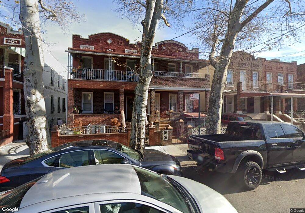
567 Bristol St Brooklyn, NY 11212
Brownsville NeighborhoodEstimated Value: $742,966 - $1,616,000
Studio
--
Bath
2,200
Sq Ft
$461/Sq Ft
Est. Value
About This Home
This home is located at 567 Bristol St, Brooklyn, NY 11212 and is currently estimated at $1,014,242, approximately $461 per square foot. 567 Bristol St is a home located in Kings County with nearby schools including P.S. 165 Ida Posner, P.S. 156 Waverly, and P.S. 150 - Christopher.
Ownership History
Date
Name
Owned For
Owner Type
Purchase Details
Closed on
Feb 11, 1999
Sold by
Burroughs Theresa P
Bought by
Kelly Marilyn E
Current Estimated Value
Home Financials for this Owner
Home Financials are based on the most recent Mortgage that was taken out on this home.
Original Mortgage
$157,500
Interest Rate
7.09%
Create a Home Valuation Report for This Property
The Home Valuation Report is an in-depth analysis detailing your home's value as well as a comparison with similar homes in the area
Home Values in the Area
Average Home Value in this Area
Purchase History
| Date | Buyer | Sale Price | Title Company |
|---|---|---|---|
| Kelly Marilyn E | $175,000 | First American Title Ins Co |
Source: Public Records
Mortgage History
| Date | Status | Borrower | Loan Amount |
|---|---|---|---|
| Previous Owner | Kelly Marilyn E | $157,500 |
Source: Public Records
Tax History
| Year | Tax Paid | Tax Assessment Tax Assessment Total Assessment is a certain percentage of the fair market value that is determined by local assessors to be the total taxable value of land and additions on the property. | Land | Improvement |
|---|---|---|---|---|
| 2025 | $2,313 | $47,400 | $19,320 | $28,080 |
| 2024 | $2,313 | $55,620 | $19,320 | $36,300 |
| 2023 | $2,339 | $49,140 | $19,320 | $29,820 |
| 2022 | $2,272 | $40,200 | $19,320 | $20,880 |
| 2021 | $2,249 | $42,300 | $19,320 | $22,980 |
| 2019 | $1,959 | $35,400 | $19,320 | $16,080 |
| 2018 | $1,897 | $10,765 | $6,071 | $4,694 |
| 2017 | $1,878 | $10,681 | $5,889 | $4,792 |
| 2016 | $1,705 | $10,077 | $5,846 | $4,231 |
| 2015 | $996 | $9,507 | $4,190 | $5,317 |
| 2014 | $996 | $8,971 | $4,742 | $4,229 |
Source: Public Records
Map
Nearby Homes
- 124 Lott Ave
- 931 Thomas S Boyland St
- 923 Rockaway Ave
- 524 Chester St
- 504 Thatford Ave
- 898 Thomas S Boyland St
- 106 Newport St
- 465 Bristol St
- 664 Osborn St Unit 1
- 637 Rockaway Pkwy
- 892 Mother Gaston Blvd
- 686 E 98th St
- 121 Riverdale Ave
- 685 Rockaway Pkwy
- 539 E 96th St Unit 4
- 385 Amboy St
- 533 E 96th St Unit 4
- 797 Mother Gaston Blvd
- 578 Christopher Ave
- 447 Rockaway Pkwy Unit 28
- 565 Bristol St
- 571 Bristol St
- 561 Bristol St
- 573 Bristol St
- 559 Bristol St
- 577 Bristol St Unit 2
- 577 Bristol St
- 555 Bristol St
- 582 Chester St
- 586 Chester St
- 580 Chester St
- 581 Bristol St
- 576 Chester St
- 588 Chester St
- 574 Chester St
- 592 Chester St
- 583 Bristol St
- 570 Chester St
- 570 Chester St Unit 2
- 594 Chester St
Your Personal Tour Guide
Ask me questions while you tour the home.