567 Buckskin Ln Goldendale, WA 98620
Estimated Value: $619,000 - $807,000
3
Beds
2
Baths
2,952
Sq Ft
$238/Sq Ft
Est. Value
About This Home
This home is located at 567 Buckskin Ln, Goldendale, WA 98620 and is currently estimated at $701,802, approximately $237 per square foot. 567 Buckskin Ln is a home located in Klickitat County with nearby schools including Goldendale Primary School, Goldendale Middle School, and Goldendale High School.
Ownership History
Date
Name
Owned For
Owner Type
Purchase Details
Closed on
Sep 25, 2008
Sold by
Bartoo Alice J
Bought by
Anderson Guy and Anderson Kamiele
Current Estimated Value
Home Financials for this Owner
Home Financials are based on the most recent Mortgage that was taken out on this home.
Original Mortgage
$415,000
Outstanding Balance
$267,482
Interest Rate
5.8%
Mortgage Type
Adjustable Rate Mortgage/ARM
Estimated Equity
$434,320
Create a Home Valuation Report for This Property
The Home Valuation Report is an in-depth analysis detailing your home's value as well as a comparison with similar homes in the area
Home Values in the Area
Average Home Value in this Area
Purchase History
| Date | Buyer | Sale Price | Title Company |
|---|---|---|---|
| Anderson Guy | -- | Klickitat County Title Compa |
Source: Public Records
Mortgage History
| Date | Status | Borrower | Loan Amount |
|---|---|---|---|
| Open | Anderson Guy | $415,000 |
Source: Public Records
Tax History Compared to Growth
Tax History
| Year | Tax Paid | Tax Assessment Tax Assessment Total Assessment is a certain percentage of the fair market value that is determined by local assessors to be the total taxable value of land and additions on the property. | Land | Improvement |
|---|---|---|---|---|
| 2025 | $3,208 | $525,400 | $202,500 | $322,900 |
| 2023 | $3,208 | $487,600 | $175,000 | $312,600 |
| 2022 | $2,559 | $375,800 | $130,500 | $245,300 |
| 2021 | $3,167 | $284,100 | $84,000 | $200,100 |
| 2020 | $3,167 | $285,530 | $85,430 | $200,100 |
| 2018 | $3,512 | $303,130 | $85,430 | $217,700 |
| 2017 | $3,045 | $310,830 | $85,430 | $225,400 |
| 2016 | $2,762 | $295,480 | $69,880 | $225,600 |
| 2015 | $3,027 | $271,880 | $69,880 | $202,000 |
| 2013 | $3,027 | $304,900 | $119,500 | $185,400 |
Source: Public Records
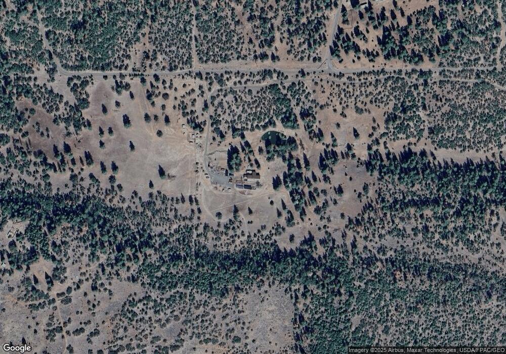
Map
Nearby Homes
- 0 Old Mountain Rd Unit 510279845
- 0 D Pine Rd Unit 1
- 0 D Pine Rd Unit 2
- 71 Homestead Rd
- 352 Box Canyon Rd
- 94 Big Springs Rd
- 0 Hawks Wind Rd Unit 1 162521196
- 0 Hawks Wind Rd Unit 447718216
- 531 Cushman Rd
- 76 Big Springs Rd
- 15 Sutherlain Tr
- 566 Woodland Rd
- 000 Lee Rd
- 0 Lee Rd
- 505 Woodland Rd
- 0 Hope Grove Unit 430872245
- 0 Bickleton Hwy Unit 2 202673313
- 0 England Dr Unit 455774655
- 0 Box Canyon Rd Unit 551282407
- 0 Box Canyon Rd Unit NWM2402336
- 610 Buckskin Ln
- 626 Buckskin Ln
- 626 Buckskin Ln
- 626 Buckskin Ln
- 375 Camplin Rd
- 19 Washburn Ln
- 561 Buckskin Ln
- 545 Old Mountain Rd
- 545 Old Mountain Rd
- 545 Old Mountain Rd
- 103 Buckskin Ln
- 103 Buckskin Ln
- 371 Ekone Rd
- 563 Old Mountain Rd
- 579 Old Mountain Rd
- 579 Old Mountain Rd
- 496 Old Mountain Rd
- 349 Camplin Rd
- 455 Old Mountain Rd