567 Coral Ridge Rd Atlantic Beach, NC 28512
Estimated Value: $962,967 - $1,149,000
4
Beds
3
Baths
2,306
Sq Ft
$445/Sq Ft
Est. Value
About This Home
This home is located at 567 Coral Ridge Rd, Atlantic Beach, NC 28512 and is currently estimated at $1,025,992, approximately $444 per square foot. 567 Coral Ridge Rd is a home with nearby schools including Morehead City Primary School, Morehead Elementary School at Camp Glenn, and Morehead City Middle School.
Ownership History
Date
Name
Owned For
Owner Type
Purchase Details
Closed on
Oct 17, 2008
Sold by
Moore William A and Moore Martha Anne A
Bought by
Rogers B Thomas and Rogers Bridget F
Current Estimated Value
Home Financials for this Owner
Home Financials are based on the most recent Mortgage that was taken out on this home.
Original Mortgage
$125,000
Outstanding Balance
$82,762
Interest Rate
6.34%
Mortgage Type
Unknown
Estimated Equity
$943,230
Create a Home Valuation Report for This Property
The Home Valuation Report is an in-depth analysis detailing your home's value as well as a comparison with similar homes in the area
Home Values in the Area
Average Home Value in this Area
Purchase History
| Date | Buyer | Sale Price | Title Company |
|---|---|---|---|
| Rogers B Thomas | $565,000 | None Available |
Source: Public Records
Mortgage History
| Date | Status | Borrower | Loan Amount |
|---|---|---|---|
| Open | Rogers B Thomas | $125,000 |
Source: Public Records
Tax History Compared to Growth
Tax History
| Year | Tax Paid | Tax Assessment Tax Assessment Total Assessment is a certain percentage of the fair market value that is determined by local assessors to be the total taxable value of land and additions on the property. | Land | Improvement |
|---|---|---|---|---|
| 2025 | $2,272 | $966,342 | $151,945 | $814,397 |
| 2024 | $1,634 | $451,744 | $121,584 | $330,160 |
| 2023 | $1,551 | $451,744 | $121,584 | $330,160 |
| 2022 | $1,506 | $451,744 | $121,584 | $330,160 |
| 2021 | $1,296 | $451,744 | $121,584 | $330,160 |
| 2020 | $1,506 | $451,744 | $121,584 | $330,160 |
| 2019 | $1,434 | $457,889 | $111,452 | $346,437 |
| 2017 | $1,434 | $457,889 | $111,452 | $346,437 |
| 2016 | $1,434 | $457,889 | $111,452 | $346,437 |
| 2015 | $1,389 | $457,889 | $111,452 | $346,437 |
| 2014 | $1,694 | $559,537 | $173,196 | $386,341 |
Source: Public Records
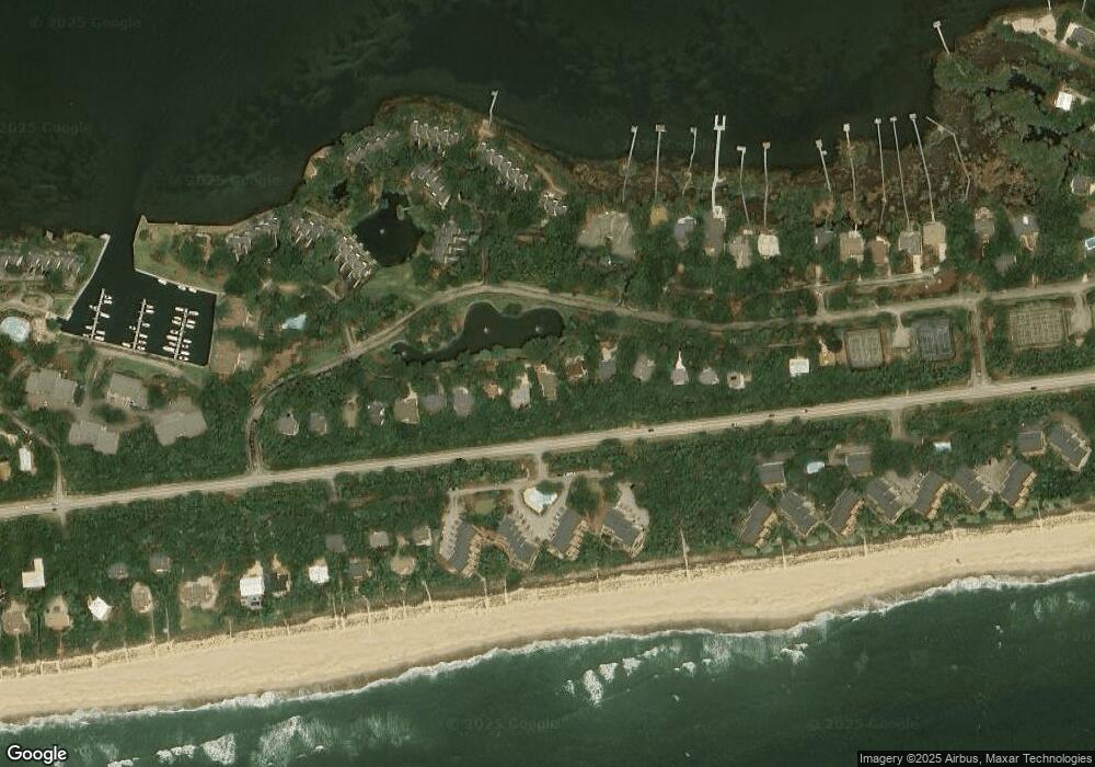
Map
Nearby Homes
- 570 Coral Dr Unit 3
- 545 Salter Path Rd Unit B-3 Ocean Grove
- 545 Salter Path Rd Unit 1
- 585 Forest Dunes
- 590 Marina Dr Unit E-5
- 532 Coral Dr
- 535 Salter Path Rd Unit 15 Coral Shores
- 518 Egret Lake Dr
- 101 Roosevelt Reserve Park Place
- 108 Roosevelt Reserve Park Place
- 103 Roosevelt Reserve Park Place
- 106 Roosevelt Reserve Park Place
- 105 Roosevelt Reserve Park Place
- 104 Roosevelt Reserve Park Place
- 102 Roosevelt Reserve Park Place
- 107 Roosevelt Reserve Park Place
- 650 Salter Path Rd Unit 303
- 469 Maritime Place
- 1104 Salter Path Rd
- 108 Kiawa Way
- 565 Coral Ridge Rd
- 569 Coral Ridge Rd
- 563 Coral Ridge Rd
- 571 Coral Ridge Rd
- 573 Coral Ridge Rd
- 561 Coral Ridge Rd
- 575 Coral Ridge Rd
- 559 Coral Ridge Rd
- 554 Fiddlers Walk
- 577 Coral Ridge Rd
- 557 Coral Ridge Rd
- 579 Coral Ridge Rd
- 566 Coral Dr Unit A-21 Fiddlers Walk
- 566 Coral Dr
- 566 Coral Dr
- 566 Coral Dr
- 566 Coral Dr Unit A4
- 566 Coral Dr
- 566 Coral Dr Unit A25
- 566 Coral Dr