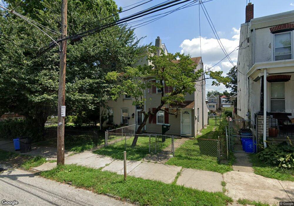
567 Dupont St Philadelphia, PA 19128
Roxborough NeighborhoodEstimated Value: $387,000 - $446,000
3
Beds
3
Baths
2,100
Sq Ft
$201/Sq Ft
Est. Value
About This Home
This home is located at 567 Dupont St, Philadelphia, PA 19128 and is currently estimated at $421,795, approximately $200 per square foot. 567 Dupont St is a home located in Philadelphia County with nearby schools including Shawmont School, Roxborough High School, and Green Woods CS.
Ownership History
Date
Name
Owned For
Owner Type
Purchase Details
Closed on
Mar 27, 2018
Sold by
George Raymond A and George Brian R
Bought by
George Brian R and Brunger Candace
Current Estimated Value
Purchase Details
Closed on
Oct 19, 2011
Sold by
Davis John E and Davis John E
Bought by
George Raymond A and George Brian R
Home Financials for this Owner
Home Financials are based on the most recent Mortgage that was taken out on this home.
Original Mortgage
$122,000
Interest Rate
3.93%
Mortgage Type
New Conventional
Purchase Details
Closed on
May 25, 2004
Sold by
Atkinson Ella Thompson
Bought by
Davis John E and Davis John F
Home Financials for this Owner
Home Financials are based on the most recent Mortgage that was taken out on this home.
Original Mortgage
$104,000
Interest Rate
5.94%
Mortgage Type
Purchase Money Mortgage
Create a Home Valuation Report for This Property
The Home Valuation Report is an in-depth analysis detailing your home's value as well as a comparison with similar homes in the area
Home Values in the Area
Average Home Value in this Area
Purchase History
| Date | Buyer | Sale Price | Title Company |
|---|---|---|---|
| George Brian R | -- | None Available | |
| George Raymond A | $207,000 | None Available | |
| Davis John E | $130,000 | Surety Title Corporation |
Source: Public Records
Mortgage History
| Date | Status | Borrower | Loan Amount |
|---|---|---|---|
| Previous Owner | George Raymond A | $122,000 | |
| Previous Owner | Davis John E | $104,000 |
Source: Public Records
Tax History Compared to Growth
Tax History
| Year | Tax Paid | Tax Assessment Tax Assessment Total Assessment is a certain percentage of the fair market value that is determined by local assessors to be the total taxable value of land and additions on the property. | Land | Improvement |
|---|---|---|---|---|
| 2025 | $4,313 | $377,300 | $75,460 | $301,840 |
| 2024 | $4,313 | $377,300 | $75,460 | $301,840 |
| 2023 | $4,313 | $308,100 | $61,620 | $246,480 |
| 2022 | $4,107 | $308,100 | $61,620 | $246,480 |
| 2021 | $4,107 | $0 | $0 | $0 |
| 2020 | $4,107 | $0 | $0 | $0 |
| 2019 | $3,963 | $0 | $0 | $0 |
| 2018 | $0 | $0 | $0 | $0 |
| 2017 | $3,075 | $0 | $0 | $0 |
| 2016 | $3,046 | $0 | $0 | $0 |
| 2015 | $2,944 | $0 | $0 | $0 |
| 2014 | -- | $219,700 | $78,902 | $140,798 |
| 2012 | -- | $23,008 | $5,465 | $17,543 |
Source: Public Records
Map
Nearby Homes
- 603 Green Ln
- 545 Green Ln
- 628 Leverington Ave Unit 1
- 623 Hermitage St
- 572 Hermitage St
- 576 Hermitage St
- 635 Dupont St Unit O
- 517 Conarroe St
- 6100 Henry Ave Unit 7D
- 622 Green Ln
- 640 Hermitage St
- 6106 Ridge Ave
- 6232 Ridge Ave
- 468 Leverington Ave
- 485 Ripka St
- 481 Conarroe St
- 451 Green Ln
- 4531 Mitchell St
- 577 Acorn St
- 452 Green Ln