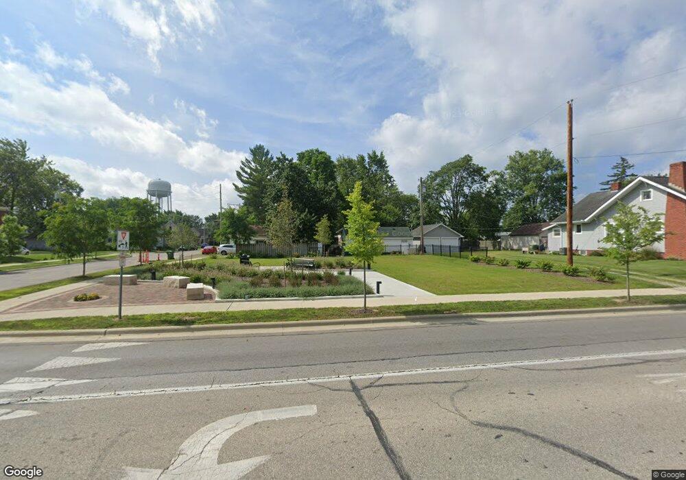
567 E 5th St Marysville, OH 43040
Estimated Value: $158,707
--
Bed
2
Baths
442
Sq Ft
$359/Sq Ft
Est. Value
About This Home
This home is located at 567 E 5th St, Marysville, OH 43040 and is currently estimated at $158,707, approximately $359 per square foot. 567 E 5th St is a home located in Union County with nearby schools including Northwood Elementary School, Creekview Intermediate Elementary School, and Bunsold Middle School.
Ownership History
Date
Name
Owned For
Owner Type
Purchase Details
Closed on
Mar 2, 2023
Sold by
Union County Land Reutilization Corporat
Bought by
City Of Marysville
Current Estimated Value
Purchase Details
Closed on
Jul 30, 2007
Sold by
1775 E 5Th Av Inc
Bought by
Reddy B N
Purchase Details
Closed on
Aug 20, 2003
Sold by
Otg 3 Llc
Bought by
1775 E 5Th Ave Inc
Purchase Details
Closed on
Aug 3, 1999
Sold by
Clark Refining & Marketi
Bought by
O T G 3 Llc
Create a Home Valuation Report for This Property
The Home Valuation Report is an in-depth analysis detailing your home's value as well as a comparison with similar homes in the area
Home Values in the Area
Average Home Value in this Area
Purchase History
| Date | Buyer | Sale Price | Title Company |
|---|---|---|---|
| City Of Marysville | -- | -- | |
| Reddy B N | $80,000 | Lawyers Title | |
| 1775 E 5Th Ave Inc | -- | -- | |
| O T G 3 Llc | $25,000 | -- |
Source: Public Records
Tax History Compared to Growth
Tax History
| Year | Tax Paid | Tax Assessment Tax Assessment Total Assessment is a certain percentage of the fair market value that is determined by local assessors to be the total taxable value of land and additions on the property. | Land | Improvement |
|---|---|---|---|---|
| 2024 | $1,596 | $33,860 | $33,860 | $0 |
| 2023 | $1,596 | $33,860 | $33,860 | $0 |
| 2022 | $1,596 | $33,860 | $33,860 | $0 |
| 2021 | $1,596 | $20,320 | $20,320 | $0 |
| 2020 | $1,596 | $20,320 | $20,320 | $0 |
| 2019 | $0 | $20,320 | $20,320 | $0 |
| 2018 | $1,804 | $17,540 | $16,240 | $1,300 |
| 2017 | $1,809 | $22,920 | $20,320 | $2,600 |
| 2016 | $1,804 | $22,920 | $20,320 | $2,600 |
| 2015 | $1,805 | $23,010 | $20,320 | $2,690 |
| 2014 | $1,799 | $23,010 | $20,320 | $2,690 |
| 2013 | $1,742 | $23,010 | $20,320 | $2,690 |
Source: Public Records
Map
Nearby Homes
- 627 E 6th St
- 125 S Oak St
- 226 S Plum St
- 203 W 3rd St
- 569 E 10th St Unit 1A
- 158C Tulip Dr
- 260 W 4th St
- 256 W 3rd St
- 448 Professional Pkwy
- 78 Aspen Dr
- 0 Columbus Ave
- 525 Ash St
- 718 N Main St
- 226 Elwood Ave
- 0 Square Dr
- 651 Millcrest Dr Unit 651A
- 733 N Maple St
- 1145 Coventry Way Unit D
- 1055 Greenfield Dr
- Wesley Plan at Adena Pointe - Maple Street Collection