Estimated Value: $189,244 - $270,000
2
Beds
2
Baths
2,506
Sq Ft
$92/Sq Ft
Est. Value
About This Home
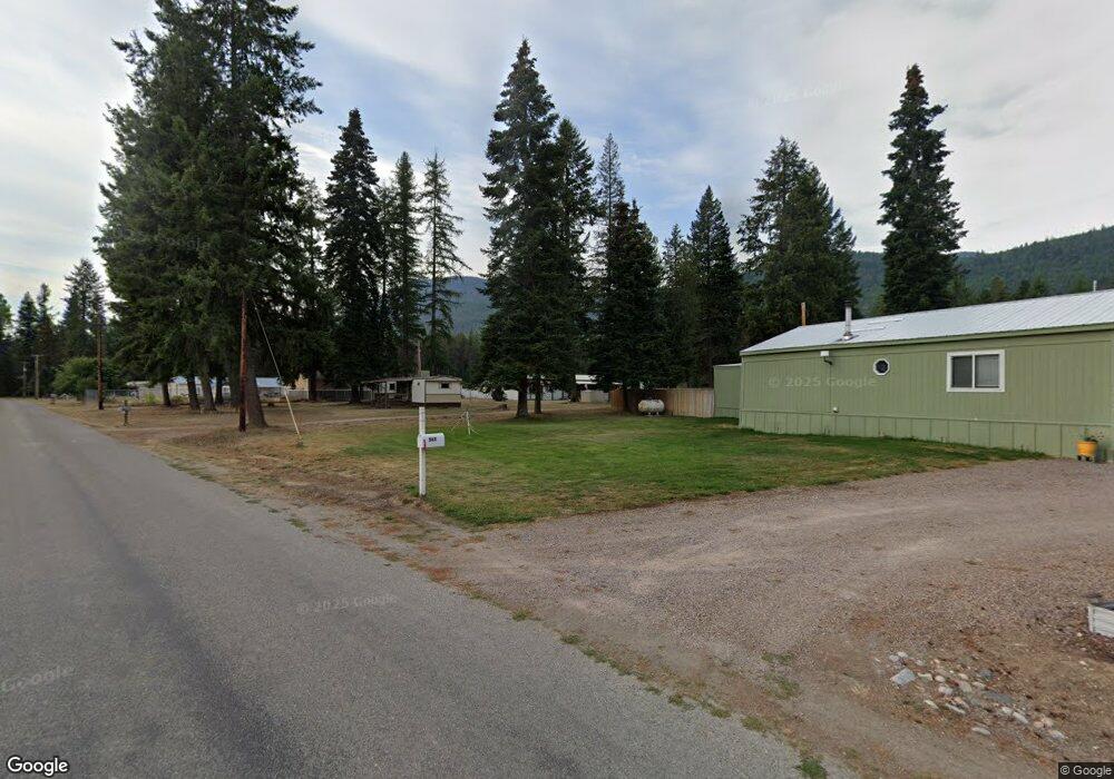
This home is located at 567 Forest Dr, Troy, MT 59935 and is currently estimated at $229,622, approximately $91 per square foot. 567 Forest Dr is a home located in Lincoln County with nearby schools including W.F. Morrison School, Troy Junior High School, and Troy High School.
Ownership History
Date
Name
Owned For
Owner Type
Purchase Details
Closed on
Apr 27, 2019
Sold by
Brossman Randy O and Brossman Machelle R
Bought by
Steshyn Richard J and Steshyn Carolyn J
Current Estimated Value
Purchase Details
Closed on
Jul 13, 2007
Sold by
Mercer Jessica
Bought by
Luberto Anthony and Perlot Luberto Leila
Home Financials for this Owner
Home Financials are based on the most recent Mortgage that was taken out on this home.
Original Mortgage
$49,000
Interest Rate
6.73%
Mortgage Type
Unknown
Create a Home Valuation Report for This Property
The Home Valuation Report is an in-depth analysis detailing your home's value as well as a comparison with similar homes in the area
Purchase History
| Date | Buyer | Sale Price | Title Company |
|---|---|---|---|
| Steshyn Richard J | -- | First American Title Company | |
| Luberto Anthony | -- | First American Title Co |
Source: Public Records
Mortgage History
| Date | Status | Borrower | Loan Amount |
|---|---|---|---|
| Previous Owner | Luberto Anthony | $49,000 |
Source: Public Records
Tax History
| Year | Tax Paid | Tax Assessment Tax Assessment Total Assessment is a certain percentage of the fair market value that is determined by local assessors to be the total taxable value of land and additions on the property. | Land | Improvement |
|---|---|---|---|---|
| 2025 | $57 | $79,286 | $0 | $0 |
| 2024 | $95 | $73,886 | $0 | $0 |
| 2023 | $128 | $73,886 | $0 | $0 |
| 2022 | $66 | $40,341 | $0 | $0 |
| 2021 | $71 | $40,341 | $0 | $0 |
| 2020 | $116 | $40,401 | $0 | $0 |
| 2019 | $376 | $37,121 | $0 | $0 |
| 2018 | $421 | $42,762 | $0 | $0 |
| 2017 | $363 | $42,762 | $0 | $0 |
| 2016 | $347 | $35,836 | $0 | $0 |
| 2015 | $262 | $35,836 | $0 | $0 |
| 2014 | $367 | $26,280 | $0 | $0 |
Source: Public Records
Map
Nearby Homes
- 705 Waterfront Rd
- 644 Waterfront Rd
- 22 Center Dr
- 206 Waterfront Rd
- 206 Waterfront Rd
- Nhn S Side Rd
- 3022 S Side Rd
- 700 Eastside Rd
- 1268 Hunts Mill Rd
- Lot 1 River Rd
- 1720 River Rd
- 12437 Us Highway 2
- 1278 Hunts Mill Rd
- TBD E Dent Ave
- 216 E Missoula Ave
- 312 Mineral Ave
- 514 E Grant Ave
- 106 N 6th St
- 707 E Grant Ave
- 716 Kootenai River Rd
- 567 Forest Dr
- 500 Forest Dr
- 487 Forest Dr
- 263 Blubaugh Ln
- 263 Blubaugh Lane Troy
- 450 Forest Dr
- 397 Forest Dr
- 396 Forest Dr
- 3375 Us Highway 2
- 10632 Us Highway 2
- TBD Forest Dr
- 381 Forest Dr
- 44 Timber Ln
- 0 Timber Ln
- Lot 5 Timber Ln
- 81 Timber Ln
- 10565 Us Highway 2
- 10691 Us Highway 2
- 345 Piney Rd
- 1205 Forest Dr
Your Personal Tour Guide
Ask me questions while you tour the home.