Estimated Value: $519,000 - $554,000
3
Beds
3
Baths
2,026
Sq Ft
$267/Sq Ft
Est. Value
About This Home
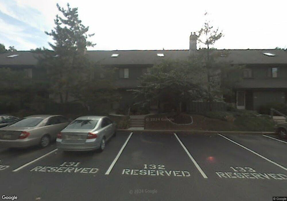
This home is located at 567 Foxwood Ln Unit 567, Paoli, PA 19301 and is currently estimated at $541,225, approximately $267 per square foot. 567 Foxwood Ln Unit 567 is a home located in Chester County with nearby schools including Beaumont Elementary School, Tredyffrin-Easttown Middle School, and Conestoga Senior High School.
Ownership History
Date
Name
Owned For
Owner Type
Purchase Details
Closed on
Mar 22, 2007
Sold by
Tallman George R and Tallman Diane J
Bought by
Adams David J and Adams Kristine D
Current Estimated Value
Home Financials for this Owner
Home Financials are based on the most recent Mortgage that was taken out on this home.
Original Mortgage
$315,400
Outstanding Balance
$191,638
Interest Rate
6.33%
Mortgage Type
Purchase Money Mortgage
Estimated Equity
$349,587
Create a Home Valuation Report for This Property
The Home Valuation Report is an in-depth analysis detailing your home's value as well as a comparison with similar homes in the area
Home Values in the Area
Average Home Value in this Area
Purchase History
| Date | Buyer | Sale Price | Title Company |
|---|---|---|---|
| Adams David J | $332,000 | None Available |
Source: Public Records
Mortgage History
| Date | Status | Borrower | Loan Amount |
|---|---|---|---|
| Open | Adams David J | $315,400 |
Source: Public Records
Tax History Compared to Growth
Tax History
| Year | Tax Paid | Tax Assessment Tax Assessment Total Assessment is a certain percentage of the fair market value that is determined by local assessors to be the total taxable value of land and additions on the property. | Land | Improvement |
|---|---|---|---|---|
| 2025 | $5,935 | $159,120 | $42,790 | $116,330 |
| 2024 | $5,935 | $159,120 | $42,790 | $116,330 |
| 2023 | $5,549 | $159,120 | $42,790 | $116,330 |
| 2022 | $5,398 | $159,120 | $42,790 | $116,330 |
| 2021 | $5,280 | $159,120 | $42,790 | $116,330 |
| 2020 | $5,134 | $159,120 | $42,790 | $116,330 |
| 2019 | $4,838 | $154,240 | $42,790 | $111,450 |
| 2018 | $4,754 | $154,240 | $42,790 | $111,450 |
| 2017 | $4,647 | $154,240 | $42,790 | $111,450 |
| 2016 | -- | $154,240 | $42,790 | $111,450 |
| 2015 | -- | $154,240 | $42,790 | $111,450 |
| 2014 | -- | $154,240 | $42,790 | $111,450 |
Source: Public Records
Map
Nearby Homes
- 332 Paoli Woods
- 337 Paoli Woods
- 131 Devon Rd
- 1201 Weatherstone Dr Unit 1201
- 2104 Weatherstone Dr Unit 2104
- 38 E Circular Ave
- 19 E Golf Club Ln
- 106 S Valley Rd
- 41 Greenlawn Rd
- 1500 Sugartown Rd
- 216 Paoli Pointe Dr Unit 216
- 227 Paoli Pointe Dr Unit 227
- 1441 Berwyn Paoli Rd Unit D
- 1441 Berwyn Paoli Rd
- 5 Kent Ln
- 109 Vincent Rd
- 113 Manor Rd
- 114 Manor Rd
- 72 W Central Ave
- 81 Oak Knoll Dr Unit J81
- 566 Foxwood Ln Unit 566
- 568 Foxwood Ln
- 565 Foxwood Ln
- 569 Foxwood Ln Unit 569
- 570 Foxwood Ln Unit 570
- 564 Foxwood Ln Unit 564
- 563 Foxwood Ln Unit 563
- 555 Foxwood Ln Unit 555
- 556 Foxwood Ln
- 554 Foxwood Ln Unit 554
- 553 Foxwood Ln
- 553 Foxwood Ln Unit 533
- 552 Foxwood Ln Unit 552
- 552 Foxwood Ln Unit 522
- 561 Foxwood Ln
- 571 Foxwood Ln Unit 571
- 551 Foxwood Ln
- 572 Foxwood Ln Unit 572
- 560 Foxwood Ln
- 573 Foxwood Ln