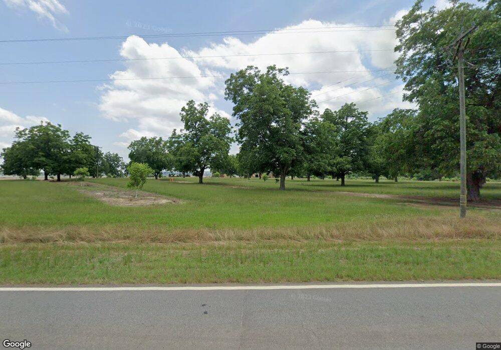
567 Gaissert Rd Albany, GA 31705
Estimated Value: $118,000 - $4,506,801
2
Beds
1
Bath
1,680
Sq Ft
$1,376/Sq Ft
Est. Value
About This Home
This home is located at 567 Gaissert Rd, Albany, GA 31705 and is currently estimated at $2,312,401, approximately $1,376 per square foot. 567 Gaissert Rd is a home with nearby schools including Radium Springs Elementary School, Radium Springs Middle School, and Albany Middle School.
Ownership History
Date
Name
Owned For
Owner Type
Purchase Details
Closed on
Dec 11, 1997
Sold by
Bridges Don A and Bridges K
Bought by
Bridges Tracy A
Current Estimated Value
Purchase Details
Closed on
Dec 28, 1995
Sold by
Lobarton Farms Inc
Bought by
Bridges Donald E and Bridges Tracy A
Purchase Details
Closed on
May 20, 1989
Sold by
Westminster Inv Inc
Bought by
Lobarton Farms Inc
Create a Home Valuation Report for This Property
The Home Valuation Report is an in-depth analysis detailing your home's value as well as a comparison with similar homes in the area
Home Values in the Area
Average Home Value in this Area
Purchase History
| Date | Buyer | Sale Price | Title Company |
|---|---|---|---|
| Bridges Tracy A | -- | -- | |
| Bridges Donald E | $4,625,000 | -- | |
| Lobarton Farms Inc | $1,661,700 | -- |
Source: Public Records
Tax History Compared to Growth
Tax History
| Year | Tax Paid | Tax Assessment Tax Assessment Total Assessment is a certain percentage of the fair market value that is determined by local assessors to be the total taxable value of land and additions on the property. | Land | Improvement |
|---|---|---|---|---|
| 2024 | $13,774 | $726,720 | $675,480 | $51,240 |
| 2023 | $13,460 | $726,720 | $675,480 | $51,240 |
| 2022 | $13,175 | $726,720 | $675,480 | $51,240 |
| 2021 | $11,914 | $726,720 | $675,480 | $51,240 |
| 2020 | $11,659 | $726,720 | $675,480 | $51,240 |
| 2019 | $11,765 | $734,680 | $675,480 | $59,200 |
| 2018 | $11,532 | $734,680 | $675,480 | $59,200 |
| 2017 | $7,848 | $907,640 | $842,560 | $65,080 |
| 2016 | $7,702 | $907,640 | $842,560 | $65,080 |
| 2015 | $7,566 | $907,640 | $842,560 | $65,080 |
| 2014 | $7,319 | $907,640 | $842,560 | $65,080 |
Source: Public Records
Map
Nearby Homes
- 3606 Radial Ave
- 3620 Radial Ave
- 3704 Parr Rd
- 2730 S County Line Rd
- 5108 Cypress Ave
- 144 James Dr
- 513 Johnson Rd
- 3431 Gladys Ct
- 1509 S County Line Rd
- 115 Wynn Dr
- 410 Johnson Rd
- 2221 Duitman Rd
- 565 Nectar Ln
- 2529 Cherokee Dr
- 148 Force Dr
- 2523 Cherokee Dr
- 509 521 Honeysuckle Rd
- 2731 Yorktown Ave
- 101 Dogwood Ln
- 2802 Banks Ave
