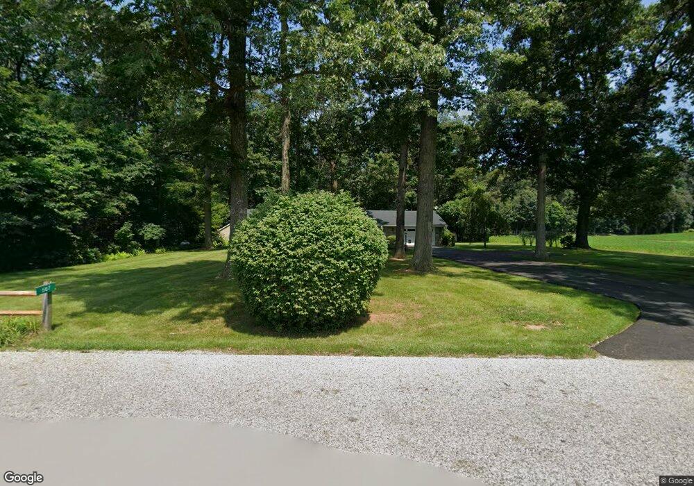
567 High St Stewartstown, PA 17363
Estimated Value: $456,445 - $553,000
3
Beds
3
Baths
2,570
Sq Ft
$198/Sq Ft
Est. Value
About This Home
This home is located at 567 High St, Stewartstown, PA 17363 and is currently estimated at $508,611, approximately $197 per square foot. 567 High St is a home with nearby schools including South Eastern Intermediate School, South Eastern Middle School, and Kennard-Dale High School.
Ownership History
Date
Name
Owned For
Owner Type
Purchase Details
Closed on
Dec 23, 2022
Sold by
Wolf J Daniel J and Wolf Connie L
Bought by
Herbert Susan K and Herbert William J
Current Estimated Value
Purchase Details
Closed on
Dec 22, 2022
Sold by
Wolf J Daniel
Bought by
Herbert Wolf J and Herbert Susan K
Purchase Details
Closed on
Jul 19, 1972
Sold by
Wolf George H and Wolf Hazel A
Bought by
Wolf George H and Wolf Hazel A
Create a Home Valuation Report for This Property
The Home Valuation Report is an in-depth analysis detailing your home's value as well as a comparison with similar homes in the area
Home Values in the Area
Average Home Value in this Area
Purchase History
| Date | Buyer | Sale Price | Title Company |
|---|---|---|---|
| Herbert Susan K | $255,350 | -- | |
| Herbert Susan K | $255,350 | None Listed On Document | |
| Herbert Wolf J | -- | -- | |
| Herbert Wolf J | -- | None Listed On Document | |
| Wolf George H | -- | -- |
Source: Public Records
Tax History Compared to Growth
Tax History
| Year | Tax Paid | Tax Assessment Tax Assessment Total Assessment is a certain percentage of the fair market value that is determined by local assessors to be the total taxable value of land and additions on the property. | Land | Improvement |
|---|---|---|---|---|
| 2025 | $7,497 | $255,350 | $54,290 | $201,060 |
| 2024 | $7,497 | $255,350 | $54,290 | $201,060 |
| 2023 | $7,497 | $255,350 | $54,290 | $201,060 |
| 2022 | $7,497 | $255,350 | $54,290 | $201,060 |
| 2021 | $7,242 | $255,350 | $54,290 | $201,060 |
| 2020 | $7,242 | $255,350 | $54,290 | $201,060 |
| 2019 | $7,216 | $255,350 | $54,290 | $201,060 |
| 2018 | $7,216 | $255,350 | $54,290 | $201,060 |
| 2017 | $7,079 | $255,350 | $54,290 | $201,060 |
| 2016 | $0 | $250,500 | $54,290 | $196,210 |
| 2015 | -- | $250,500 | $54,290 | $196,210 |
| 2014 | -- | $250,500 | $54,290 | $196,210 |
Source: Public Records
Map
Nearby Homes
- 103 Hershey Cir
- 150 Patterson Dr Unit 47
- 180 Patterson Dr Unit 50
- 10 Black Oak Ct
- 231 Cool Spring Ln
- 17 Charles Ave
- 13 Baneberry St
- 4341 Forbes Dr
- 4303 Forbes Dr
- 82 Piston Ct
- 9 W Pennsylvania Ave
- 2 S Main St
- 94 Piston Ct
- 18007 Dave Anne Cir
- 18010 Dave Anne Cir
- 0 Five Forks Rd Unit PAYK2095070
- 0 Five Forks Rd Unit PAYK2095050
- 0 Bridgeview Rd Unit PAYK2080146
- 18183 Piedmont Rd
- 4389 Hess Rd