567 Leveque Cir Carleton, MI 48117
Estimated Value: $166,000 - $239,000
2
Beds
1
Bath
1,057
Sq Ft
$181/Sq Ft
Est. Value
About This Home
This home is located at 567 Leveque Cir, Carleton, MI 48117 and is currently estimated at $191,527, approximately $181 per square foot. 567 Leveque Cir is a home located in Monroe County with nearby schools including Airport Senior High School.
Ownership History
Date
Name
Owned For
Owner Type
Purchase Details
Closed on
Nov 15, 2002
Sold by
D'Alfonso Josephine
Bought by
Bourdie Jon
Current Estimated Value
Home Financials for this Owner
Home Financials are based on the most recent Mortgage that was taken out on this home.
Original Mortgage
$107,185
Outstanding Balance
$46,082
Interest Rate
6.38%
Mortgage Type
New Conventional
Estimated Equity
$145,445
Create a Home Valuation Report for This Property
The Home Valuation Report is an in-depth analysis detailing your home's value as well as a comparison with similar homes in the area
Home Values in the Area
Average Home Value in this Area
Purchase History
| Date | Buyer | Sale Price | Title Company |
|---|---|---|---|
| Bourdie Jon | $110,500 | -- |
Source: Public Records
Mortgage History
| Date | Status | Borrower | Loan Amount |
|---|---|---|---|
| Open | Bourdie Jon | $107,185 |
Source: Public Records
Tax History
| Year | Tax Paid | Tax Assessment Tax Assessment Total Assessment is a certain percentage of the fair market value that is determined by local assessors to be the total taxable value of land and additions on the property. | Land | Improvement |
|---|---|---|---|---|
| 2025 | $390 | $51,800 | $51,800 | $0 |
| 2024 | $379 | $47,700 | $0 | $0 |
| 2023 | $361 | $41,900 | $0 | $0 |
| 2022 | $997 | $41,900 | $0 | $0 |
| 2021 | $958 | $44,600 | $0 | $0 |
| 2020 | $976 | $40,900 | $0 | $0 |
| 2019 | $932 | $40,900 | $0 | $0 |
| 2018 | $907 | $36,800 | $0 | $0 |
| 2017 | $308 | $36,800 | $0 | $0 |
| 2016 | $854 | $36,700 | $0 | $0 |
| 2015 | $826 | $29,600 | $0 | $0 |
| 2014 | $815 | $29,600 | $0 | $0 |
| 2013 | -- | $27,300 | $0 | $0 |
Source: Public Records
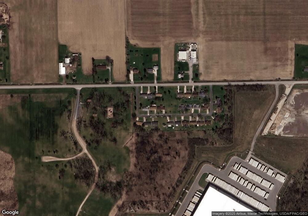
Map
Nearby Homes
- 0 N Telegraph Rd Unit 50189310
- 0000 Telegraph Rd
- 1827 Newport Rd
- 1698 Solo Ln
- 1855 Laurel St
- 8737 Daniel Dr
- 1983 Oak St
- 8485 S Stoney Creek Rd
- 1808 Oak St Unit 701
- 0000 S Stony Creek Rd
- 9229 Post Branch Dr Unit 342
- 9027 W Timberview Dr Unit 277
- 0 N Telegraph Rd
- 0 N Telegraph Rd Unit 50165571
- 0 N Telegraph Rd Unit 25053939
- 2330 Charter Oak Ct
- 2351 Hiddenview Dr
- 9072 Greentree Dr
- 2322 Crestview Dr Unit 99
- 00 Toben Rd
- 581 Leveque Cir
- 553 Leveque Cir
- 564 Newport Rd
- 564 Newport Rd Unit 6
- 570 Leveque Cir
- 550 Newport Rd
- 558 Leveque Cir
- 542 Leveque Cir
- 594 Leveque Cir
- 623 Leveque Cir
- 612 Leveque Cir
- 620 Newport Rd
- 628 Leveque Cir
- 639 Leveque Cir
- 634 Newport Rd
- 644 Leveque Cir
- 567 Newport Rd
- 651 Leveque Cir
- 648 Newport Rd
- 535 Newport Rd
Your Personal Tour Guide
Ask me questions while you tour the home.