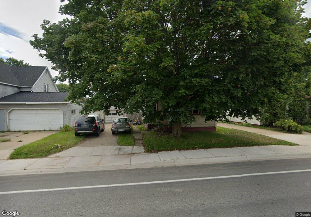
567 N 9th St Gladstone, MI 49837
Estimated Value: $122,000 - $214,000
2
Beds
1
Bath
950
Sq Ft
$156/Sq Ft
Est. Value
About This Home
This home is located at 567 N 9th St, Gladstone, MI 49837 and is currently estimated at $148,416, approximately $156 per square foot. 567 N 9th St is a home located in Delta County with nearby schools including James T. Jones Elementary School, Cameron Elementary School, and Gladstone Area Middle School.
Ownership History
Date
Name
Owned For
Owner Type
Purchase Details
Closed on
Aug 19, 2015
Sold by
Gundry Nicole I
Bought by
Gundry Brock A and Mcknight Dale A
Current Estimated Value
Home Financials for this Owner
Home Financials are based on the most recent Mortgage that was taken out on this home.
Original Mortgage
$34
Outstanding Balance
$27
Interest Rate
4.04%
Mortgage Type
Future Advance Clause Open End Mortgage
Estimated Equity
$148,389
Purchase Details
Closed on
Jan 25, 2011
Sold by
Homesales Inc
Bought by
Mcknight Dale M
Home Financials for this Owner
Home Financials are based on the most recent Mortgage that was taken out on this home.
Original Mortgage
$30,800
Interest Rate
4.15%
Purchase Details
Closed on
Nov 23, 2004
Sold by
Wares Ryan J
Bought by
Ballenbach Kari
Create a Home Valuation Report for This Property
The Home Valuation Report is an in-depth analysis detailing your home's value as well as a comparison with similar homes in the area
Home Values in the Area
Average Home Value in this Area
Purchase History
| Date | Buyer | Sale Price | Title Company |
|---|---|---|---|
| Gundry Brock A | -- | None Available | |
| Gundry Nicole I | -- | None Available | |
| Mcknight Dale M | $38,500 | -- | |
| Ballenbach Kari | $61,000 | -- |
Source: Public Records
Mortgage History
| Date | Status | Borrower | Loan Amount |
|---|---|---|---|
| Open | Gundry Nicole I | $34 | |
| Previous Owner | Mcknight Dale M | $30,800 |
Source: Public Records
Tax History Compared to Growth
Tax History
| Year | Tax Paid | Tax Assessment Tax Assessment Total Assessment is a certain percentage of the fair market value that is determined by local assessors to be the total taxable value of land and additions on the property. | Land | Improvement |
|---|---|---|---|---|
| 2025 | $2,025 | $57,600 | $0 | $0 |
| 2024 | $1,894 | $51,800 | $0 | $0 |
| 2023 | $1,894 | $42,900 | $0 | $0 |
| 2022 | $1,163 | $41,000 | $0 | $0 |
| 2021 | $1,798 | $36,000 | $0 | $0 |
| 2020 | $1,552 | $36,500 | $0 | $0 |
| 2019 | $1,358 | $32,100 | $0 | $0 |
| 2018 | $1,327 | $31,200 | $0 | $0 |
| 2017 | $1,186 | $31,800 | $0 | $0 |
| 2016 | $1,247 | $31,300 | $0 | $0 |
| 2014 | -- | $31,700 | $0 | $0 |
| 2013 | -- | $33,200 | $0 | $0 |
Source: Public Records
Map
Nearby Homes
- 559 N 9th St
- 912 Michigan Ave
- 19 4th St
- 701 N 17th St
- 703 Dakota Ave Unit 1
- 701 & 705 N Bluff Dr
- 701, 705 & 709 N Bluff Dr
- 1620 Lake Shore Dr
- 39 Royalton Dr
- 2600 S Rd
- 1 Pinewood Dr
- 2804 Gladstone Ave
- 11 Mapleview Dr
- 0 Mather Ave Unit 2 25003191
- Lot 3 Irish Oaks Estates Tipperary Rd
- 8302 Burntwood P 15
- 7772 Tipperary Rd
- 9144 Stagecoach Q 5
- 9164 & 9166 Wahl R 55 Wahl R 55
- 9164 & 9166 Wahl R 55 Ave