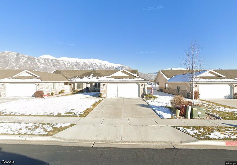
567 S 1040 E Unit 27 American Fork, UT 84003
Estimated Value: $369,000 - $467,000
3
Beds
2
Baths
1,450
Sq Ft
$295/Sq Ft
Est. Value
About This Home
This home is located at 567 S 1040 E Unit 27, American Fork, UT 84003 and is currently estimated at $427,966, approximately $295 per square foot. 567 S 1040 E Unit 27 is a home located in Utah County with nearby schools including Barratt Elementary School, American Fork Junior High School, and American Fork High School.
Ownership History
Date
Name
Owned For
Owner Type
Purchase Details
Closed on
Dec 10, 2025
Sold by
Davies Camille
Bought by
Camille Davies Revocable Trust and Davies
Current Estimated Value
Purchase Details
Closed on
Dec 19, 2014
Sold by
Sb Smoot Construction Inc
Bought by
Davies Camille
Home Financials for this Owner
Home Financials are based on the most recent Mortgage that was taken out on this home.
Original Mortgage
$71,000
Interest Rate
4%
Mortgage Type
New Conventional
Create a Home Valuation Report for This Property
The Home Valuation Report is an in-depth analysis detailing your home's value as well as a comparison with similar homes in the area
Home Values in the Area
Average Home Value in this Area
Purchase History
| Date | Buyer | Sale Price | Title Company |
|---|---|---|---|
| Camille Davies Revocable Trust | -- | None Listed On Document | |
| Davies Camille | -- | Provo Land Title Co |
Source: Public Records
Mortgage History
| Date | Status | Borrower | Loan Amount |
|---|---|---|---|
| Previous Owner | Davies Camille | $71,000 |
Source: Public Records
Tax History
| Year | Tax Paid | Tax Assessment Tax Assessment Total Assessment is a certain percentage of the fair market value that is determined by local assessors to be the total taxable value of land and additions on the property. | Land | Improvement |
|---|---|---|---|---|
| 2025 | $1,969 | $222,750 | -- | -- |
| 2024 | $1,969 | $218,735 | $0 | $0 |
| 2023 | $1,806 | $212,740 | $0 | $0 |
| 2022 | $1,950 | $226,655 | $0 | $0 |
| 2021 | $1,746 | $317,000 | $80,000 | $237,000 |
| 2020 | $1,698 | $299,100 | $80,000 | $219,100 |
| 2019 | $1,524 | $277,500 | $80,000 | $197,500 |
| 2018 | $1,414 | $246,300 | $80,000 | $166,300 |
| 2017 | $1,412 | $132,715 | $0 | $0 |
| 2016 | $1,480 | $129,250 | $0 | $0 |
| 2015 | $1,560 | $129,250 | $0 | $0 |
Source: Public Records
Map
Nearby Homes
- 565 S 1040 E Unit 26
- 565 S 1040 E
- 581 S 1040 E Unit 28
- 581 S 1040 E
- 553 S 1040 E Unit 25
- 583 S 1040 E
- 583 S 1040 E Unit 29
- 551 S 1040 E Unit 24
- 595 S 1040 E Unit 30
- 552 S 1040 E Unit 56
- 597 S 1040 E Unit 31
- 549 S 1040 E
- 572 S 1040 E
- 572 S 1040 E Unit 50
- 566 S 1040 E Unit 54
- 566 S 1040 E
- 554 S 1040 E Unit 57
- 544 S 1040 E
- 544 S 1040 E Unit 61
- 547 S 1040 E
Your Personal Tour Guide
Ask me questions while you tour the home.