Estimated Value: $590,000 - $749,000
4
Beds
2
Baths
2,450
Sq Ft
$266/Sq Ft
Est. Value
About This Home
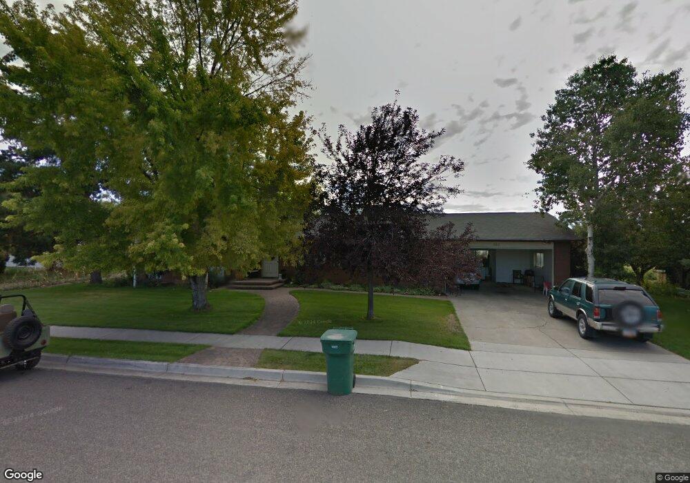
This home is located at 567 S 1700 W, Lehi, UT 84043 and is currently estimated at $652,579, approximately $266 per square foot. 567 S 1700 W is a home located in Utah County with nearby schools including Snow Springs Elementary, Willowcreek Middle School, and Lehi High School.
Ownership History
Date
Name
Owned For
Owner Type
Purchase Details
Closed on
May 28, 2025
Sold by
Jdh Felt Llc and Jdh Kent Llc
Bought by
Jdh Growth Llc
Current Estimated Value
Purchase Details
Closed on
Apr 20, 2021
Sold by
Felt Russell Ray
Bought by
Russell Ray Felt Revocable Trust and Felt
Purchase Details
Closed on
Sep 29, 1998
Sold by
Bushman Melvin J and Bushman Nadine
Bought by
Bushman Melvin J and Bushman Nadine N
Home Financials for this Owner
Home Financials are based on the most recent Mortgage that was taken out on this home.
Original Mortgage
$115,000
Interest Rate
6.88%
Mortgage Type
Purchase Money Mortgage
Purchase Details
Closed on
Jul 27, 1998
Sold by
Hazel C Bushman Revocable Trust
Bought by
Bushman Melvin J and Bushman Nadine
Create a Home Valuation Report for This Property
The Home Valuation Report is an in-depth analysis detailing your home's value as well as a comparison with similar homes in the area
Home Values in the Area
Average Home Value in this Area
Purchase History
| Date | Buyer | Sale Price | Title Company |
|---|---|---|---|
| Jdh Growth Llc | -- | Cottonwood Title | |
| Russell Ray Felt Revocable Trust | -- | -- | |
| Jdh Felt Llc | -- | Cottonwood Title Ins Agcy In | |
| Bushman Melvin J | -- | -- | |
| Bushman Melvin J | -- | -- |
Source: Public Records
Mortgage History
| Date | Status | Borrower | Loan Amount |
|---|---|---|---|
| Previous Owner | Bushman Melvin J | $115,000 |
Source: Public Records
Tax History Compared to Growth
Tax History
| Year | Tax Paid | Tax Assessment Tax Assessment Total Assessment is a certain percentage of the fair market value that is determined by local assessors to be the total taxable value of land and additions on the property. | Land | Improvement |
|---|---|---|---|---|
| 2025 | $2,379 | $297,825 | $275,400 | $266,100 |
| 2024 | $2,379 | $278,410 | $0 | $0 |
| 2023 | $2,197 | $279,125 | $0 | $0 |
| 2022 | $2,317 | $285,395 | $0 | $0 |
| 2021 | $2,049 | $381,600 | $135,800 | $245,800 |
| 2020 | $1,931 | $355,400 | $125,700 | $229,700 |
| 2019 | $1,700 | $325,400 | $125,700 | $199,700 |
| 2018 | $1,699 | $307,400 | $116,700 | $190,700 |
| 2017 | $1,630 | $156,750 | $0 | $0 |
| 2016 | $1,471 | $131,285 | $0 | $0 |
| 2015 | $1,459 | $123,585 | $0 | $0 |
| 2014 | $1,451 | $122,155 | $0 | $0 |
Source: Public Records
Map
Nearby Homes
- 581 S 1500 W
- 1743 W Grays Place
- 1664 W 800 S
- 380 S 1500 W
- 1784 W Grays Place
- 786 S 1430 W
- 1379 W 425 S
- 1363 W 425 S
- The Annie Plan at Longhorn Meadows
- The Kaitlyn Plan at Longhorn Meadows
- The Autumn Plan at Longhorn Meadows
- The Aurora Plan at Longhorn Meadows
- The Roosevelt Plan at Longhorn Meadows
- The Christine Plan at Longhorn Meadows
- The Brooke Plan at Longhorn Meadows
- The Madison Plan at Longhorn Meadows
- The Avery Plan at Longhorn Meadows
- The Tracie Plan at Longhorn Meadows
- 1356 W 425 S
- 374 S 1330 West St