567 S Point Rd Shelby, MI 49455
Estimated Value: $350,000 - $1,274,000
--
Bed
--
Bath
--
Sq Ft
1.1
Acres
About This Home
This home is located at 567 S Point Rd, Shelby, MI 49455 and is currently estimated at $811,973. 567 S Point Rd is a home with nearby schools including Shelby High School.
Ownership History
Date
Name
Owned For
Owner Type
Purchase Details
Closed on
Jul 14, 2006
Sold by
Shaffer Barbara S
Bought by
Shaffer Barbara S
Current Estimated Value
Create a Home Valuation Report for This Property
The Home Valuation Report is an in-depth analysis detailing your home's value as well as a comparison with similar homes in the area
Home Values in the Area
Average Home Value in this Area
Purchase History
| Date | Buyer | Sale Price | Title Company |
|---|---|---|---|
| Shaffer Barbara S | -- | None Available |
Source: Public Records
Tax History Compared to Growth
Tax History
| Year | Tax Paid | Tax Assessment Tax Assessment Total Assessment is a certain percentage of the fair market value that is determined by local assessors to be the total taxable value of land and additions on the property. | Land | Improvement |
|---|---|---|---|---|
| 2025 | $10,598 | $414,800 | $414,800 | $0 |
| 2024 | $2,736 | $407,200 | $407,200 | $0 |
| 2023 | $9,274 | $356,300 | $356,300 | $0 |
| 2022 | $9,274 | $317,300 | $0 | $0 |
| 2021 | $9,265 | $291,700 | $291,700 | $0 |
| 2020 | $8,739 | $278,000 | $278,000 | $0 |
| 2019 | $8,833 | $272,700 | $0 | $0 |
| 2018 | $8,629 | $249,100 | $0 | $0 |
| 2017 | $8,186 | $241,100 | $0 | $0 |
| 2016 | -- | $223,200 | $0 | $0 |
| 2013 | -- | $181,600 | $0 | $0 |
Source: Public Records
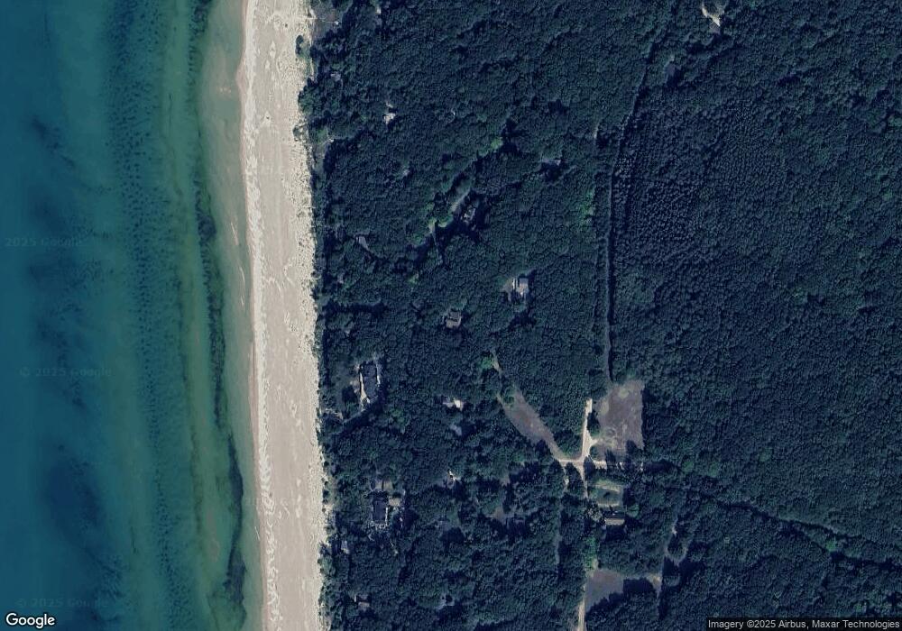
Map
Nearby Homes
- 0 Silver Lake Dr
- Lot G Hemlock Trail
- 10412 W Woodrow Rd
- 10445 W Woodrow Rd
- 0 Sable Point Dr Unit 286596
- Lot N Hemlock Trail
- Lot O Hemlock
- 62 N 14th Ave
- 539 N Lighthouse Dr
- 1935 S Glen Rd
- 2225 Apache Dr
- 658 Parasail Dr
- V/L W Woodrow Rd
- 18 Acres 28th Ave
- 2087 S Glen Rd
- Parcel G-1 28th Ave
- Parcel G-2 28th Ave
- Parcel F-2 28th Ave
- Parcel F-1 28th Ave
- VL 28th Shelby Rd
- 589 S Point Rd
- 559 S Shady Glen Rd
- 625 S Point Rd
- 544 S Point Rd
- 573 S Glen Rd
- 605 S Point Rd
- 597 S Glen Rd
- 500 S Glen Rd
- 543 S Shady Glen Rd
- 528 S Shady Glen Rd
- 621 S Glen Rd
- 443 S Shady Glen Rd
- 637 S Point Rd
- 496 S Shady Glen Rd
- 652 S Point Rd
- 511 S Shady Glen Rd
- 483 Stone Church Rd
- 637 S Glen Rd
- 350 Shady Glen Rd
- 0 Shady Glen Rd