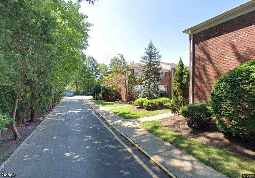
567 S Springfield Ave Springfield, NJ 07081
Estimated Value: $516,000 - $568,128
--
Bed
--
Bath
1,872
Sq Ft
$287/Sq Ft
Est. Value
About This Home
This home is located at 567 S Springfield Ave, Springfield, NJ 07081 and is currently estimated at $536,532, approximately $286 per square foot. 567 S Springfield Ave is a home located in Union County with nearby schools including Jonathan Dayton High School and St James The Apostle School.
Ownership History
Date
Name
Owned For
Owner Type
Purchase Details
Closed on
Feb 27, 2007
Sold by
Bottino Peter A
Bought by
Nusbaum Andrew J and Nusbaum Lori B
Current Estimated Value
Home Financials for this Owner
Home Financials are based on the most recent Mortgage that was taken out on this home.
Original Mortgage
$238,500
Outstanding Balance
$191,812
Interest Rate
6.27%
Mortgage Type
New Conventional
Estimated Equity
$344,720
Create a Home Valuation Report for This Property
The Home Valuation Report is an in-depth analysis detailing your home's value as well as a comparison with similar homes in the area
Home Values in the Area
Average Home Value in this Area
Purchase History
| Date | Buyer | Sale Price | Title Company |
|---|---|---|---|
| Nusbaum Andrew J | $265,000 | -- |
Source: Public Records
Mortgage History
| Date | Status | Borrower | Loan Amount |
|---|---|---|---|
| Open | Nusbaum Andrew J | $238,500 |
Source: Public Records
Tax History Compared to Growth
Tax History
| Year | Tax Paid | Tax Assessment Tax Assessment Total Assessment is a certain percentage of the fair market value that is determined by local assessors to be the total taxable value of land and additions on the property. | Land | Improvement |
|---|---|---|---|---|
| 2025 | $7,693 | $323,900 | $140,000 | $183,900 |
| 2024 | $7,566 | $323,900 | $140,000 | $183,900 |
| 2023 | $7,566 | $323,900 | $140,000 | $183,900 |
| 2022 | $7,025 | $323,900 | $140,000 | $183,900 |
| 2021 | $7,223 | $99,900 | $25,000 | $74,900 |
| 2020 | $7,322 | $99,900 | $25,000 | $74,900 |
| 2019 | $7,223 | $99,900 | $25,000 | $74,900 |
| 2018 | $7,093 | $99,900 | $25,000 | $74,900 |
| 2017 | $6,898 | $99,900 | $25,000 | $74,900 |
| 2016 | $6,764 | $99,900 | $25,000 | $74,900 |
| 2015 | $6,685 | $99,900 | $25,000 | $74,900 |
| 2014 | $6,559 | $99,900 | $25,000 | $74,900 |
Source: Public Records
Map
Nearby Homes
- 559 S Springfield Ave Unit 559
- 13 Evergreen Ave
- 17 Evergreen Ave
- 126 Fieldstone Dr
- 701 Mountain Ave
- 20 Kew Dr
- 64 S Springfield Ave
- 294 Mountain Ave
- 28 S Derby Rd
- 35 S Derby Rd
- 262 Mountain Ave
- 102 Irwin St
- 874 Mountain Ave
- 2 S Audlen Terrace
- 1102 Park Place
- 238 Riverside Dr
- 24 Brook St
- 300 Wilson Rd Unit 24D
- 105 Battle Hill Ave
- 798 Pinewood Rd
- 569 S Springfield Ave Unit 569
- 571 S Springfield Ave Unit 751
- 573 S Springfield Ave Unit 573
- 575 S Springfield Ave
- 577 S Springfield Ave
- 579 S Springfield Ave Unit 579
- 604 S Springfield Ave
- 600 S Springfield Ave
- 563 S Springfield Ave
- 596 S Springfield Ave
- 606 S Springfield Ave
- 549 S Springfield Ave
- 547 S Springfield Ave Unit 547
- 608 S Springfield Ave
- 545 S Springfield Ave Unit 545
- 580 S Springfield Ave
- 543 S Springfield Ave Unit 543
- 605 S Springfield Ave
- 541 S Springfield Ave
- 610 S Springfield Ave