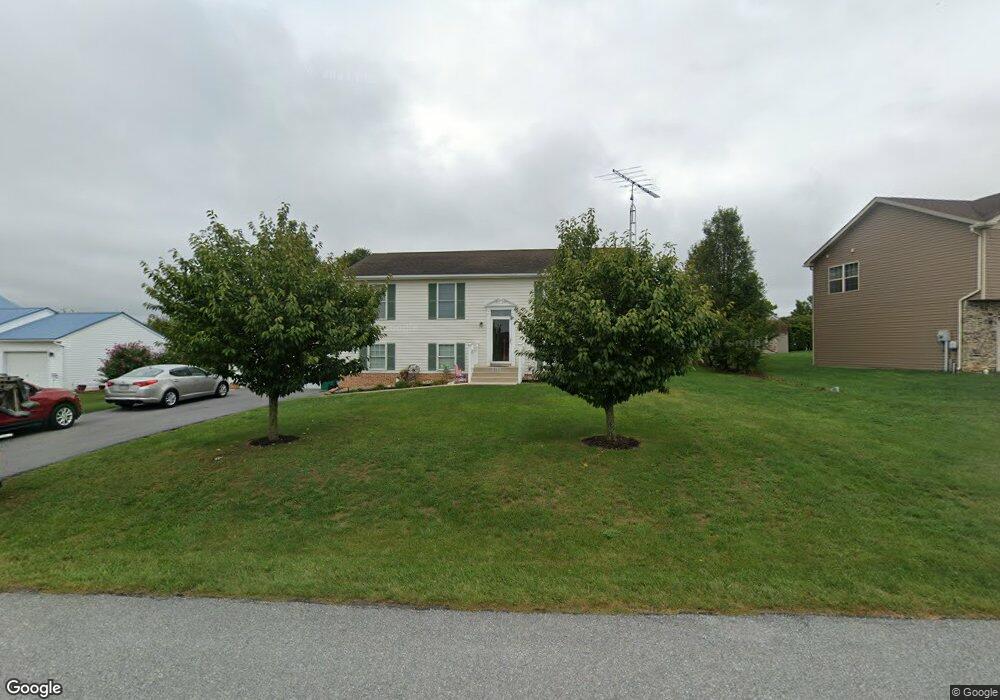
567 Tall Cedar Ln Greencastle, PA 17225
Estimated Value: $228,670 - $311,000
3
Beds
2
Baths
2,288
Sq Ft
$120/Sq Ft
Est. Value
About This Home
This home is located at 567 Tall Cedar Ln, Greencastle, PA 17225 and is currently estimated at $273,668, approximately $119 per square foot. 567 Tall Cedar Ln is a home located in Franklin County with nearby schools including Greencastle-Antrim Primary School, Greencastle-Antrim Elementary School, and Greencastle-Antrim Middle School.
Ownership History
Date
Name
Owned For
Owner Type
Purchase Details
Closed on
Oct 29, 2009
Sold by
Long Charles D and Long Marian L
Bought by
Smith Larry E and Smith Sidonna K
Current Estimated Value
Home Financials for this Owner
Home Financials are based on the most recent Mortgage that was taken out on this home.
Original Mortgage
$60,000
Outstanding Balance
$39,298
Interest Rate
5.06%
Mortgage Type
New Conventional
Estimated Equity
$234,370
Create a Home Valuation Report for This Property
The Home Valuation Report is an in-depth analysis detailing your home's value as well as a comparison with similar homes in the area
Home Values in the Area
Average Home Value in this Area
Purchase History
| Date | Buyer | Sale Price | Title Company |
|---|---|---|---|
| Smith Larry E | $190,000 | None Available |
Source: Public Records
Mortgage History
| Date | Status | Borrower | Loan Amount |
|---|---|---|---|
| Open | Smith Larry E | $60,000 |
Source: Public Records
Tax History Compared to Growth
Tax History
| Year | Tax Paid | Tax Assessment Tax Assessment Total Assessment is a certain percentage of the fair market value that is determined by local assessors to be the total taxable value of land and additions on the property. | Land | Improvement |
|---|---|---|---|---|
| 2025 | $3,806 | $22,750 | $2,600 | $20,150 |
| 2024 | $3,453 | $22,750 | $2,600 | $20,150 |
| 2023 | $3,412 | $22,750 | $2,600 | $20,150 |
| 2022 | $3,412 | $22,750 | $2,600 | $20,150 |
| 2021 | $3,346 | $22,750 | $2,600 | $20,150 |
| 2020 | $3,259 | $22,750 | $2,600 | $20,150 |
| 2019 | $3,185 | $22,750 | $2,600 | $20,150 |
| 2018 | $3,151 | $22,750 | $2,600 | $20,150 |
| 2017 | $3,071 | $22,750 | $2,600 | $20,150 |
| 2016 | $652 | $22,750 | $2,600 | $20,150 |
| 2015 | $596 | $22,330 | $2,600 | $19,730 |
| 2014 | $596 | $22,330 | $2,600 | $19,730 |
Source: Public Records
Map
Nearby Homes
- 431 Leitersburg St
- 823 Buchanan Trail E
- 674 Lohman Ave
- 775 Lohman Ave
- 34.77 Acres Red Oak Estate S
- 0 Molly Pitcher Hwy Unit PAFL178468
- 0 Molly Pitcher Hwy Unit PAFL2030380
- 0 Molly Pitcher Hwy Unit PAFL178444
- 271 E Baltimore St
- 602 Brookview Dr
- 480 S Carlisle St
- 45 W Dahlgren St
- 231 N Allison St Unit 1
- 11498 Nicole Dr
- 101 N Carlisle St
- 763 Joy Dr
- 148 N Carlisle St
- 560 Meadowview Cir
- 375 Carolle St
- 1631 Buchanan Trail E
- 555 Tall Cedar Ln
- 575 Tall Cedar Ln
- 0 Tall Cedar Ln
- 11817 Waxwing Dr
- 11795 Waxwing Dr
- 541 Tall Cedar Ln
- 11787 Waxwing Dr
- 560 Tall Cedar Ln
- 572 Tall Cedar Ln
- 11869 Waxwing Dr
- 11775 Waxwing Dr
- 11848 Waxwing Dr
- 521 Tall Cedar Ln
- 11856 Waxwing Dr
- 11828 Waxwing Dr
- 547 Leitersburg Rd
- 11769 Waxwing Dr
- 569 Leitersburg Rd
- 567 Leitersburg Rd
- 571 Leitersburg Rd