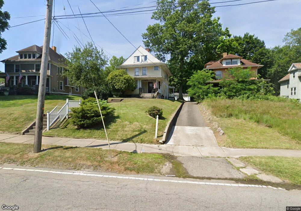
567 Tod Ave NW Warren, OH 44485
Amvets NeighborhoodEstimated Value: $66,000 - $92,000
3
Beds
2
Baths
1,952
Sq Ft
$40/Sq Ft
Est. Value
About This Home
This home is located at 567 Tod Ave NW, Warren, OH 44485 and is currently estimated at $78,942, approximately $40 per square foot. 567 Tod Ave NW is a home located in Trumbull County with nearby schools including Warren G. Harding High School, Willard PK-8 School, and Steam Academy of Warren.
Ownership History
Date
Name
Owned For
Owner Type
Purchase Details
Closed on
Sep 27, 2007
Sold by
Watt Susan J
Bought by
Watt Susan J and Watt Roy D
Current Estimated Value
Purchase Details
Closed on
Sep 22, 1995
Sold by
Nicolaus Gary E
Bought by
Watt Susan J
Home Financials for this Owner
Home Financials are based on the most recent Mortgage that was taken out on this home.
Original Mortgage
$50,460
Interest Rate
7.78%
Mortgage Type
FHA
Purchase Details
Closed on
Jan 1, 1990
Bought by
Gary E Nicolaus
Create a Home Valuation Report for This Property
The Home Valuation Report is an in-depth analysis detailing your home's value as well as a comparison with similar homes in the area
Home Values in the Area
Average Home Value in this Area
Purchase History
| Date | Buyer | Sale Price | Title Company |
|---|---|---|---|
| Watt Susan J | -- | None Available | |
| Watt Susan J | -- | None Available | |
| Watt Susan J | $50,460 | -- | |
| Gary E Nicolaus | -- | -- |
Source: Public Records
Mortgage History
| Date | Status | Borrower | Loan Amount |
|---|---|---|---|
| Closed | Watt Susan J | $50,460 |
Source: Public Records
Tax History Compared to Growth
Tax History
| Year | Tax Paid | Tax Assessment Tax Assessment Total Assessment is a certain percentage of the fair market value that is determined by local assessors to be the total taxable value of land and additions on the property. | Land | Improvement |
|---|---|---|---|---|
| 2024 | $497 | $19,610 | $1,300 | $18,310 |
| 2023 | $497 | $19,610 | $1,300 | $18,310 |
| 2022 | $380 | $11,730 | $1,300 | $10,430 |
| 2021 | $381 | $11,730 | $1,300 | $10,430 |
| 2020 | $382 | $11,730 | $1,300 | $10,430 |
| 2019 | $385 | $11,240 | $1,300 | $9,940 |
| 2018 | $384 | $11,240 | $1,300 | $9,940 |
| 2017 | $378 | $11,240 | $1,300 | $9,940 |
| 2016 | $382 | $11,770 | $1,790 | $9,980 |
| 2015 | $380 | $11,770 | $1,790 | $9,980 |
| 2014 | $378 | $11,770 | $1,790 | $9,980 |
| 2013 | $335 | $12,750 | $1,790 | $10,960 |
Source: Public Records
Map
Nearby Homes
- 600 Parkman Rd NW
- 970 Tod Ave NW
- 806 Parkman Rd NW
- 983 Garden St NW
- 666 Dickey Ave NW
- 1056 Orlo Dr NW
- 1166 Raymond St NW
- 561 South St SW
- 855 Adams Ave NW
- 360 Freeman St NW
- 759 Tod Ave SW
- 1325 Moncrest Dr NW
- 555 Hall St NW
- 428 Waverly Ave NE
- 1447 Grove Ave NW
- 1459 West Ave NW
- 1530 Vernon Ave NW
- 433 Olive Ave NE Unit 435
- 1552 Denison Ave NW
- 783 Packard St NW
- 579 Tod Ave NW
- 589 Tod Ave NW
- 555 Tod Ave NW
- 597 Tod Ave NW
- 531 533 Tod Ave
- 531 Tod Ave NW
- 607 Tod Ave NW
- 856 Hunter St NW
- 580 Tod Ave NW
- 846 Hunter St NW
- 864 Hunter St NW
- 521 Tod Ave NW
- 848 Hunter St NW Unit 440
- 848 Hunter St NW
- 874 Hunter St NW
- 840 Hunter St NW
- 884 Hunter St NW
- 631 Tod Ave NW
- 610 Tod Ave NW
- 894 Hunter St NW