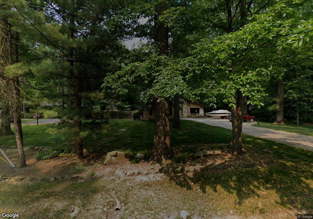
5670 Bradley Rd North Olmsted, OH 44070
Estimated Value: $337,000 - $357,137
4
Beds
3
Baths
2,098
Sq Ft
$166/Sq Ft
Est. Value
About This Home
This home is located at 5670 Bradley Rd, North Olmsted, OH 44070 and is currently estimated at $349,284, approximately $166 per square foot. 5670 Bradley Rd is a home located in Cuyahoga County with nearby schools including Chestnut Intermediate Elementary School, Pine Intermediate School, and North Olmsted Middle School.
Ownership History
Date
Name
Owned For
Owner Type
Purchase Details
Closed on
Jun 28, 1996
Sold by
Secrist Susan H
Bought by
Foraker Thomas A and Foraker Martha J
Current Estimated Value
Home Financials for this Owner
Home Financials are based on the most recent Mortgage that was taken out on this home.
Original Mortgage
$110,000
Outstanding Balance
$7,875
Interest Rate
8.13%
Mortgage Type
New Conventional
Estimated Equity
$341,409
Purchase Details
Closed on
Jul 10, 1992
Sold by
Dee John J and Dee Mary E
Bought by
Secrist Bret D
Purchase Details
Closed on
Aug 13, 1985
Sold by
Wolfe Arnold and Wolfe Ruth
Bought by
Dee John J and Dee Mary E
Purchase Details
Closed on
Jan 1, 1975
Bought by
Wolfe Arnold and Wolfe Ruth
Create a Home Valuation Report for This Property
The Home Valuation Report is an in-depth analysis detailing your home's value as well as a comparison with similar homes in the area
Home Values in the Area
Average Home Value in this Area
Purchase History
| Date | Buyer | Sale Price | Title Company |
|---|---|---|---|
| Foraker Thomas A | $180,000 | -- | |
| Secrist Bret D | $168,000 | -- | |
| Dee John J | $100,000 | -- | |
| Wolfe Arnold | -- | -- |
Source: Public Records
Mortgage History
| Date | Status | Borrower | Loan Amount |
|---|---|---|---|
| Open | Foraker Thomas A | $110,000 |
Source: Public Records
Tax History Compared to Growth
Tax History
| Year | Tax Paid | Tax Assessment Tax Assessment Total Assessment is a certain percentage of the fair market value that is determined by local assessors to be the total taxable value of land and additions on the property. | Land | Improvement |
|---|---|---|---|---|
| 2024 | $7,661 | $111,790 | $28,000 | $83,790 |
| 2023 | $7,356 | $88,240 | $17,750 | $70,490 |
| 2022 | $7,183 | $88,240 | $17,750 | $70,490 |
| 2021 | $6,502 | $88,240 | $17,750 | $70,490 |
| 2020 | $5,967 | $71,720 | $14,420 | $57,300 |
| 2019 | $5,807 | $204,900 | $41,200 | $163,700 |
| 2018 | $5,791 | $71,720 | $14,420 | $57,300 |
| 2017 | $5,789 | $64,890 | $13,790 | $51,100 |
| 2016 | $5,739 | $64,890 | $13,790 | $51,100 |
| 2015 | $5,605 | $64,890 | $13,790 | $51,100 |
| 2014 | $5,605 | $63,010 | $13,410 | $49,600 |
Source: Public Records
Map
Nearby Homes
- 5608 Barton Rd
- 5560 Barton Rd Unit 511
- 5366 Barton Rd
- 5950 Bayberry Cir
- 30630 Lorain Rd
- 5652 Rock Point Cir
- 5721 Hickory Trail
- 32583 Center Ridge Rd
- 31134 Lorain Rd
- 6580 Barton Rd
- 29408 Stewart Dr
- 5461 Wellesley Ave
- 32567 Oakhurst Dr
- 5828 Tree Moss Ln
- v/l Broxbourne Rd
- 29590 Broxbourne Rd
- 4830 Bradley Rd
- 0 Stearns Rd
- 4945 Shady Moss Ln
- 5835 Broad Blvd
- 5680 Bradley Rd
- 5690 Bradley Rd
- 5704 Bradley Rd
- 5716 Bradley Rd
- 5732 Bradley Rd
- 5740 Bradley Rd
- 5530 Bradley Rd
- 5750 Bradley Rd
- V/L Bradley Rd
- 30371 Oakwood Cir
- 30381 Oakwood Cir
- 5520 Bradley Rd
- 5760 Bradley Rd
- 30391 Oakwood Cir
- 30401 Oakwood Cir
- 5751 Bradley Rd
- 5770 Bradley Rd
- 30411 Oakwood Cir
- 5763 Bradley Rd
- 30421 Oakwood Cir