5670 Swift Creek Dr Mount Vernon, WA 98273
Estimated Value: $501,370 - $580,000
3
Beds
2
Baths
1,555
Sq Ft
$338/Sq Ft
Est. Value
About This Home
This home is located at 5670 Swift Creek Dr, Mount Vernon, WA 98273 and is currently estimated at $526,343, approximately $338 per square foot. 5670 Swift Creek Dr is a home located in Skagit County with nearby schools including Sedro-Woolley Senior High School, Summersun Montessori School, and Immaculate Conception Regional School.
Ownership History
Date
Name
Owned For
Owner Type
Purchase Details
Closed on
May 11, 2010
Sold by
The Quadrant Corporation
Bought by
Umphrey Renee P and Shelly Adam C
Current Estimated Value
Home Financials for this Owner
Home Financials are based on the most recent Mortgage that was taken out on this home.
Original Mortgage
$191,135
Outstanding Balance
$128,047
Interest Rate
5.04%
Estimated Equity
$398,296
Create a Home Valuation Report for This Property
The Home Valuation Report is an in-depth analysis detailing your home's value as well as a comparison with similar homes in the area
Home Values in the Area
Average Home Value in this Area
Purchase History
| Date | Buyer | Sale Price | Title Company |
|---|---|---|---|
| Umphrey Renee P | $194,942 | Land Title Of Skagit County |
Source: Public Records
Mortgage History
| Date | Status | Borrower | Loan Amount |
|---|---|---|---|
| Open | Umphrey Renee P | $191,135 |
Source: Public Records
Tax History Compared to Growth
Tax History
| Year | Tax Paid | Tax Assessment Tax Assessment Total Assessment is a certain percentage of the fair market value that is determined by local assessors to be the total taxable value of land and additions on the property. | Land | Improvement |
|---|---|---|---|---|
| 2024 | $3,767 | $436,900 | $182,100 | $254,800 |
| 2023 | $3,767 | $430,700 | $177,500 | $253,200 |
| 2022 | $3,475 | $401,800 | $159,500 | $242,300 |
| 2021 | $3,264 | $332,200 | $107,100 | $225,100 |
| 2020 | $2,893 | $292,100 | $0 | $0 |
| 2019 | $2,423 | $269,200 | $0 | $0 |
| 2018 | $2,910 | $254,200 | $0 | $0 |
| 2017 | $2,619 | $233,700 | $0 | $0 |
| 2016 | $2,517 | $211,200 | $61,800 | $149,400 |
| 2015 | $2,648 | $194,800 | $57,000 | $137,800 |
| 2013 | $2,255 | $184,100 | $0 | $0 |
Source: Public Records
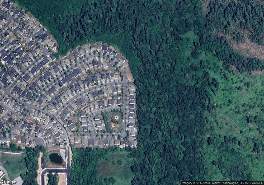
Map
Nearby Homes
- 5609 Timber Ridge Dr
- 341 N 55th St
- 341 N 55th St Unit 30
- 333 N 55th St
- 5377 Timber Ridge Dr
- 301 N 55th St Unit 25
- 237 N 55th St
- 237 N 55th St Unit 23
- 229 N 55th St
- 229 N 55th St Unit 22
- 224 N 54th Place
- Hemingway Plan at Highpoint East
- Twain Plan at Highpoint East
- Decker Plan at Highpoint East
- Ponderosa Plan at Highpoint East
- 225 N 54th Place
- 15408 State Route 9
- 4707 Mount Baker Loop
- 4625 Shuksan
- 4624 Shuksan
- 5666 Swift Creek Dr
- 5674 Swift Creek Dr
- 5662 Swift Creek Dr
- 5610 Buckhorn Way
- 5658 Swift Creek Dr
- 481 Tahoma St
- 5602 Buckhorn Way
- 5654 Swift Creek Dr
- 475 Tahoma St
- 5611 Buckhorn Way
- 5650 Swift Creek Dr
- 5566 Buckhorn Way
- 469 Tahoma St
- 1405 Tahoma St
- 5603 Buckhorn Way
- 5646 Swift Creek Dr
- 5558 Buckhorn Way
- 5633 Timber Ridge Dr
- 463 Tahoma St
- 5581 Buckhorn Way