5670 Thomas Dr Waynesville, OH 45068
Wayne Township NeighborhoodEstimated Value: $645,724 - $867,000
3
Beds
2
Baths
1,960
Sq Ft
$371/Sq Ft
Est. Value
About This Home
This home is located at 5670 Thomas Dr, Waynesville, OH 45068 and is currently estimated at $726,681, approximately $370 per square foot. 5670 Thomas Dr is a home with nearby schools including Waynesville Elementary School, Waynesville Middle School, and Waynesville High School.
Ownership History
Date
Name
Owned For
Owner Type
Purchase Details
Closed on
Dec 6, 2013
Sold by
Murray Jarrod Shane and Murray Jeri Beth
Bought by
Mitchell Lolita V and Mitchell James J
Current Estimated Value
Home Financials for this Owner
Home Financials are based on the most recent Mortgage that was taken out on this home.
Original Mortgage
$56,100
Interest Rate
4.14%
Mortgage Type
Future Advance Clause Open End Mortgage
Purchase Details
Closed on
May 22, 2013
Sold by
Tudela Jenna Marie and Tudela Mark Allen
Bought by
Murray Jarrod Shane and Murray Jeri Beth
Purchase Details
Closed on
Feb 24, 2006
Sold by
Countrytyme Lebanon Ltd
Bought by
Tudela Mark Allen and Tudela Jenna Marie
Create a Home Valuation Report for This Property
The Home Valuation Report is an in-depth analysis detailing your home's value as well as a comparison with similar homes in the area
Home Values in the Area
Average Home Value in this Area
Purchase History
| Date | Buyer | Sale Price | Title Company |
|---|---|---|---|
| Mitchell Lolita V | $66,000 | Hallmark Title | |
| Murray Jarrod Shane | $62,000 | Triad Title Agency Inc | |
| Tudela Mark Allen | $50,000 | None Available |
Source: Public Records
Mortgage History
| Date | Status | Borrower | Loan Amount |
|---|---|---|---|
| Closed | Mitchell Lolita V | $56,100 |
Source: Public Records
Tax History Compared to Growth
Tax History
| Year | Tax Paid | Tax Assessment Tax Assessment Total Assessment is a certain percentage of the fair market value that is determined by local assessors to be the total taxable value of land and additions on the property. | Land | Improvement |
|---|---|---|---|---|
| 2024 | $6,551 | $159,050 | $29,530 | $129,520 |
| 2023 | $6,444 | $137,319 | $22,540 | $114,779 |
| 2022 | $6,302 | $137,319 | $22,540 | $114,779 |
| 2021 | $6,042 | $137,319 | $22,540 | $114,779 |
| 2020 | $5,698 | $111,643 | $18,326 | $93,317 |
| 2019 | $5,705 | $111,643 | $18,326 | $93,317 |
| 2018 | $5,703 | $111,643 | $18,326 | $93,317 |
| 2017 | $5,555 | $101,427 | $16,356 | $85,071 |
| 2016 | $5,198 | $101,427 | $16,356 | $85,071 |
| 2015 | $3,689 | $71,649 | $16,356 | $55,293 |
| 2014 | $869 | $15,410 | $15,410 | $0 |
| 2013 | $826 | $17,140 | $17,140 | $0 |
Source: Public Records
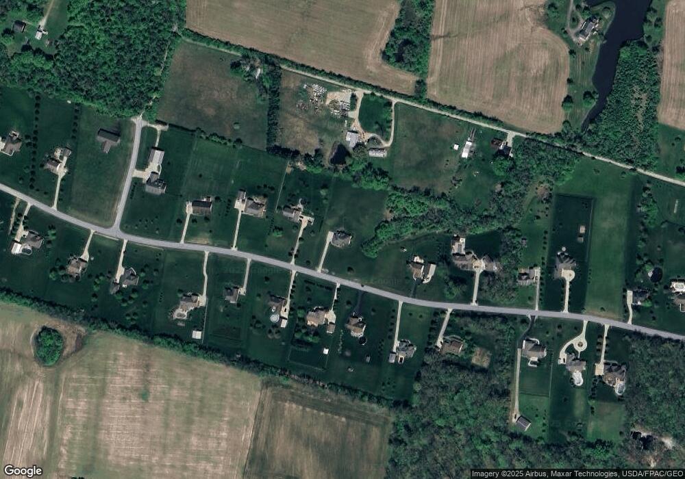
Map
Nearby Homes
- 0 Mount Holly Rd
- 9510 Bellbrook Rd
- 8976 Ferry Rd
- 4001 E Social Row Rd
- 4103 Middle Run Rd
- 9161 Old Stage Rd
- 8519 Old Stage Rd
- 2 Acres Mount Holly Rd
- 7364 Cook Jones Rd
- 1198 Lytle Rd
- 1106 Lytle Rd
- 1036 Bayberry Dr
- 1106 Brookfield Dr Unit 1106
- 7219 N Route 42
- 7219 U S 42
- 9543 Hacker Farm Ln
- 3950 E State Route 73
- 363 Victoria Place
- 7902 N US Rt 42
- 7219 N Us Rt 42
- 5614 Thomas Dr
- 5708 Thomas Dr
- 9743 Bellbrook Rd
- 5651 Thomas Dr
- 5689 Thomas Dr
- 5576 Thomas Dr
- 5615 Thomas Dr
- 5784 Thomas Dr
- 9745 Bellbrook Rd
- 5575 Thomas Dr
- 5727 Thomas Dr
- 5536 Thomas Dr
- 5765 Thomas Dr
- 5822 Thomas Dr
- 9751 Bellbrook Rd
- 5537 Thomas Dr
- 9664 Seminole Trace
- 5860 Thomas Dr
- 1 Thomas Dr
- Lot 1 Thomas Dr