5670 Whitsonville Way Bellingham, WA 98226
Estimated Value: $1,381,000
4
Beds
3
Baths
3,781
Sq Ft
$365/Sq Ft
Est. Value
About This Home
This home is located at 5670 Whitsonville Way, Bellingham, WA 98226 and is currently estimated at $1,381,000, approximately $365 per square foot. 5670 Whitsonville Way is a home located in Whatcom County with nearby schools including Mount Baker Senior High School.
Ownership History
Date
Name
Owned For
Owner Type
Purchase Details
Closed on
Dec 15, 2005
Sold by
Ford Marcia C and Bisset Audra L
Bought by
Scoville Terry D and Whitson Lea M
Current Estimated Value
Home Financials for this Owner
Home Financials are based on the most recent Mortgage that was taken out on this home.
Original Mortgage
$86,840
Outstanding Balance
$48,761
Interest Rate
6.35%
Mortgage Type
Seller Take Back
Estimated Equity
$1,332,239
Create a Home Valuation Report for This Property
The Home Valuation Report is an in-depth analysis detailing your home's value as well as a comparison with similar homes in the area
Home Values in the Area
Average Home Value in this Area
Purchase History
| Date | Buyer | Sale Price | Title Company |
|---|---|---|---|
| Scoville Terry D | $130,541 | Chicago Title Insurance |
Source: Public Records
Mortgage History
| Date | Status | Borrower | Loan Amount |
|---|---|---|---|
| Open | Scoville Terry D | $86,840 |
Source: Public Records
Tax History Compared to Growth
Tax History
| Year | Tax Paid | Tax Assessment Tax Assessment Total Assessment is a certain percentage of the fair market value that is determined by local assessors to be the total taxable value of land and additions on the property. | Land | Improvement |
|---|---|---|---|---|
| 2024 | $5,259 | $984,716 | $322,323 | $662,393 |
| 2023 | $5,259 | $1,275,342 | $610,612 | $664,730 |
| 2022 | $4,646 | $1,045,337 | $500,490 | $544,847 |
| 2021 | $4,245 | $843,005 | $403,616 | $439,389 |
| 2020 | $3,948 | $384,134 | $11,772 | $372,362 |
| 2019 | $3,543 | $629,448 | $301,369 | $328,079 |
| 2018 | $4,542 | $326,312 | $10,000 | $316,312 |
| 2017 | $4,121 | $327,007 | $11,520 | $315,487 |
| 2016 | $3,978 | $315,652 | $11,120 | $304,532 |
| 2015 | $3,671 | $301,459 | $10,620 | $290,839 |
| 2014 | -- | $315,328 | $41,468 | $273,860 |
| 2013 | -- | $312,944 | $39,084 | $273,860 |
Source: Public Records
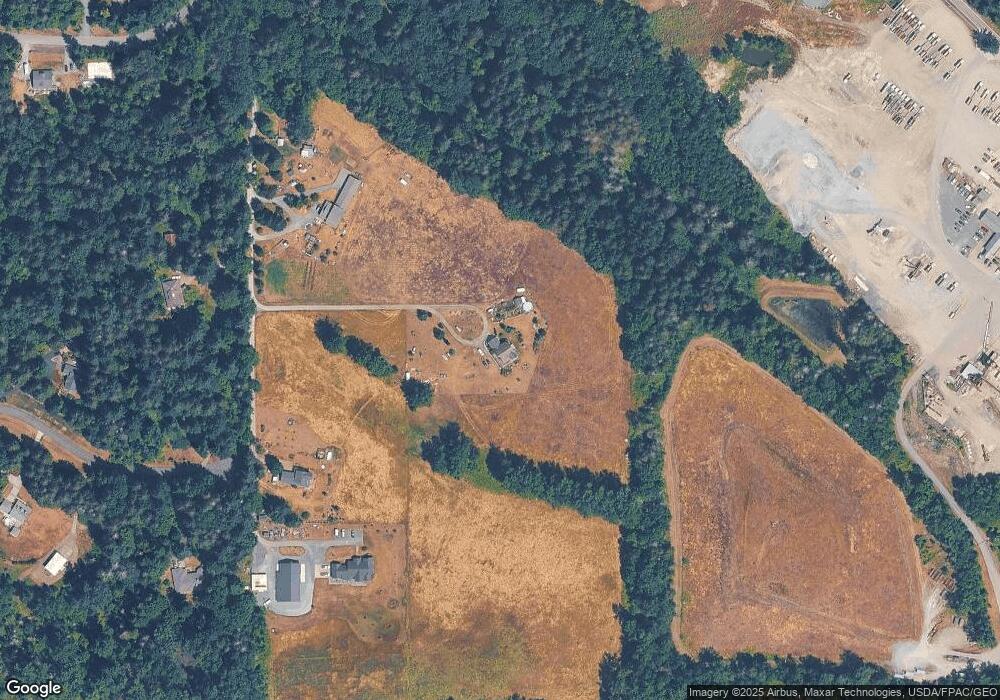
Map
Nearby Homes
- 3505 E Smith Rd
- 5544 Sand Rd
- 3025 E Smith Rd
- 5947 Lawrence Rd
- 5196 Sand Rd
- 3100 Mt Baker Hwy
- 0 Hoff Cir
- 4290 Mt Baker Hwy
- 2529 E Hemmi Rd
- 2802 Mount Baker Hwy
- 2200 E Smith Rd
- 6068 E Hemmi Ln
- 6583 Goodwin Rd
- 5818 Everson Goshen Rd
- 7019 Mount Baker Hwy
- 6794 Goodwin Rd
- 2571 E Smith Rd
- 0 E 66th Terrace
- 5458 Mount Baker Hwy
- 0 Mt Baker Hwy Unit NWM2371192
- 5564 Whitsonville Way
- 5564 Knight Rd
- 5540 Whitsonville Way
- 5594 Whitsonville Way
- 5502 Knight Rd
- 5501 Knight Rd
- 3341 Cedarville Rd
- 5520 Knight Rd
- 5680 Knight Rd
- 5686 Knight Rd
- 5517 Knight Rd
- 3407 Cedarville Rd
- 5665 Knight Rd
- 5473 Allison Rd
- 3343 Cedarville Rd
- 5476 Allison Rd
- 5463 Allison Rd
- 3365 Cedarville Rd
- 3397 Cedarville Rd
- 5694 Knight Rd