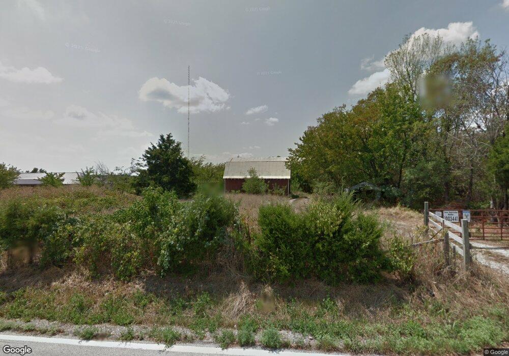
5671 N Farm Road 215 Strafford, MO 65757
Estimated Value: $107,564 - $197,000
2
Beds
1
Bath
903
Sq Ft
$169/Sq Ft
Est. Value
About This Home
This home is located at 5671 N Farm Road 215, Strafford, MO 65757 and is currently estimated at $152,282, approximately $168 per square foot. 5671 N Farm Road 215 is a home located in Greene County with nearby schools including Strafford Elementary School, Strafford Middle School, and Strafford High School.
Ownership History
Date
Name
Owned For
Owner Type
Purchase Details
Closed on
Jun 20, 2023
Sold by
Millard Randy K and Millard Casondra S
Bought by
Millard Randy K and Millard Casondra S
Current Estimated Value
Purchase Details
Closed on
Dec 30, 2022
Sold by
Millard Linda
Bought by
Millard Randy K and Millard Casondra S
Purchase Details
Closed on
Jun 23, 2014
Sold by
Tennant David W and Tennant Deanna M
Bought by
Lerch Patricia
Create a Home Valuation Report for This Property
The Home Valuation Report is an in-depth analysis detailing your home's value as well as a comparison with similar homes in the area
Home Values in the Area
Average Home Value in this Area
Purchase History
| Date | Buyer | Sale Price | Title Company |
|---|---|---|---|
| Millard Randy K | -- | None Listed On Document | |
| Millard Randy K | -- | None Listed On Document | |
| Millard Randy K | -- | None Listed On Document | |
| Lerch Patricia | -- | None Available |
Source: Public Records
Tax History Compared to Growth
Tax History
| Year | Tax Paid | Tax Assessment Tax Assessment Total Assessment is a certain percentage of the fair market value that is determined by local assessors to be the total taxable value of land and additions on the property. | Land | Improvement |
|---|---|---|---|---|
| 2025 | $378 | $8,390 | $4,870 | $3,520 |
| 2024 | $378 | $6,920 | $3,730 | $3,190 |
| 2023 | $380 | $6,920 | $3,730 | $3,190 |
| 2022 | $345 | $6,620 | $3,730 | $2,890 |
| 2021 | $325 | $6,620 | $3,730 | $2,890 |
| 2020 | $319 | $6,410 | $3,730 | $2,680 |
| 2019 | $318 | $6,410 | $3,730 | $2,680 |
| 2018 | $312 | $6,240 | $3,730 | $2,510 |
| 2017 | $309 | $7,690 | $3,730 | $3,960 |
| 2016 | $380 | $7,690 | $3,730 | $3,960 |
| 2015 | $379 | $7,690 | $3,730 | $3,960 |
| 2014 | $379 | $7,610 | $3,720 | $3,890 |
Source: Public Records
Map
Nearby Homes
- Tract 2 N State Highway 215
- 000 N Farm Road 215 Unit Parcel 1
- 000 N Farm Road 215 Unit Parcel 2
- 000 E Farm Road 68 Unit Parcel 3
- 1049 W Bluegrass Rd
- 809 N Washington St
- 804 N Washington St
- 5473 N State Highway 125
- 4070 N Castle Oaks Blvd
- Tbd E Farm Road 104
- 4201 N Farm Road 205
- 7222 N Farm Road 203
- 7268 N Farm Road 203
- 7308 N Farm Road 203
- 7607 N Angler Ln
- 3246 Missouri 125
- 8586 E State Highway Dd
- 7197 N State Highway 125
- 100 W Bumgarner Blvd
- 415 & 417 S Dell St
- 6521 E Roundup Ln
- 5743 N Farm Road 215
- 6522 E Roundup Ln
- 5620 N Farm Road 215
- 5631 N Farm Road 215
- Tract 4 N State Highway 215
- 5787 N Farm Road 215
- 6726 E State Highway C
- 5549 N Farm Road 215
- 5580 N Farm Road 215
- 000 Mo-215
- 6741 E Farm Road 80
- 5869 N Farm Road 215
- 6482 E State Highway C
- 6424 E State Highway C
- 6561 E State Highway C
- 6198 N Farm Road 215 Tract 1
- 6781 E Farm Road 80
- 5455 N Farm Road 215
- 6493 E State Highway C