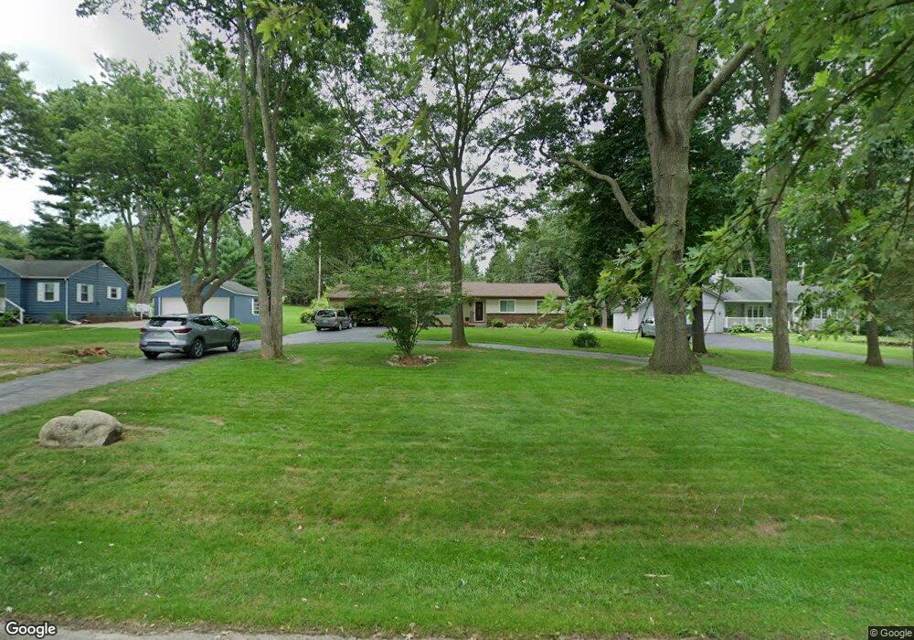
5671 Sally Rd Clarkston, MI 48348
Estimated Value: $360,000 - $477,000
--
Bed
2
Baths
1,290
Sq Ft
$322/Sq Ft
Est. Value
About This Home
This home is located at 5671 Sally Rd, Clarkston, MI 48348 and is currently estimated at $415,016, approximately $321 per square foot. 5671 Sally Rd is a home located in Oakland County with nearby schools including Everest Academy.
Ownership History
Date
Name
Owned For
Owner Type
Purchase Details
Closed on
Apr 3, 2015
Sold by
Ludwig Brian E and Ludwig Natalie A
Bought by
Ludwig Brian E and Ludwig Natalie A
Current Estimated Value
Home Financials for this Owner
Home Financials are based on the most recent Mortgage that was taken out on this home.
Original Mortgage
$160,000
Outstanding Balance
$123,305
Interest Rate
3.77%
Mortgage Type
New Conventional
Estimated Equity
$291,711
Purchase Details
Closed on
Aug 4, 2000
Sold by
Lado Mark R
Bought by
Ludwig Brian E
Home Financials for this Owner
Home Financials are based on the most recent Mortgage that was taken out on this home.
Original Mortgage
$144,000
Interest Rate
8.26%
Purchase Details
Closed on
Feb 24, 1995
Sold by
O'Rourke Gregory G
Bought by
Lado Mark R and Lado Panjai I
Home Financials for this Owner
Home Financials are based on the most recent Mortgage that was taken out on this home.
Original Mortgage
$104,000
Interest Rate
8.63%
Mortgage Type
New Conventional
Create a Home Valuation Report for This Property
The Home Valuation Report is an in-depth analysis detailing your home's value as well as a comparison with similar homes in the area
Home Values in the Area
Average Home Value in this Area
Purchase History
| Date | Buyer | Sale Price | Title Company |
|---|---|---|---|
| Ludwig Brian E | -- | None Available | |
| Ludwig Brian E | $180,000 | -- | |
| Lado Mark R | $130,000 | -- |
Source: Public Records
Mortgage History
| Date | Status | Borrower | Loan Amount |
|---|---|---|---|
| Open | Ludwig Brian E | $160,000 | |
| Closed | Ludwig Brian E | $144,000 | |
| Previous Owner | Lado Mark R | $104,000 |
Source: Public Records
Tax History Compared to Growth
Tax History
| Year | Tax Paid | Tax Assessment Tax Assessment Total Assessment is a certain percentage of the fair market value that is determined by local assessors to be the total taxable value of land and additions on the property. | Land | Improvement |
|---|---|---|---|---|
| 2024 | $1,978 | $170,200 | $37,800 | $132,400 |
| 2023 | $2,667 | $153,500 | $34,000 | $119,500 |
| 2022 | $2,667 | $143,000 | $34,000 | $109,000 |
| 2021 | $2,668 | $136,700 | $33,600 | $103,100 |
| 2020 | $1,727 | $137,600 | $32,500 | $105,100 |
| 2018 | $2,546 | $112,900 | $33,200 | $79,700 |
| 2015 | -- | $89,500 | $0 | $0 |
| 2014 | -- | $77,000 | $0 | $0 |
| 2011 | -- | $67,800 | $0 | $0 |
Source: Public Records
Map
Nearby Homes
- LOT #36 Stonewall E
- 8550 Pine Knob Rd
- 0 Whipple Lake
- 5105 Wah Ta Wah Dr
- 5226 Forest Valley Dr
- 7871 Caberfae Trail
- 0 Thendara Blvd Unit 20250006134
- 5010 Forest Valley Dr
- 8840 Minne Wanna Rd
- 7831 Caberfae Trail
- 7811 Caberfae Trail
- 4995 Mohawk Ave
- 9550 Colgate Ave
- 7827 Eames Ct
- 4950 Iroquois Blvd
- 9056 Deerwood Rd
- 5196 Greenview Dr
- 4936 Neosho Dr
- 8646 Thendara Blvd
- 9711 Dartmouth Rd