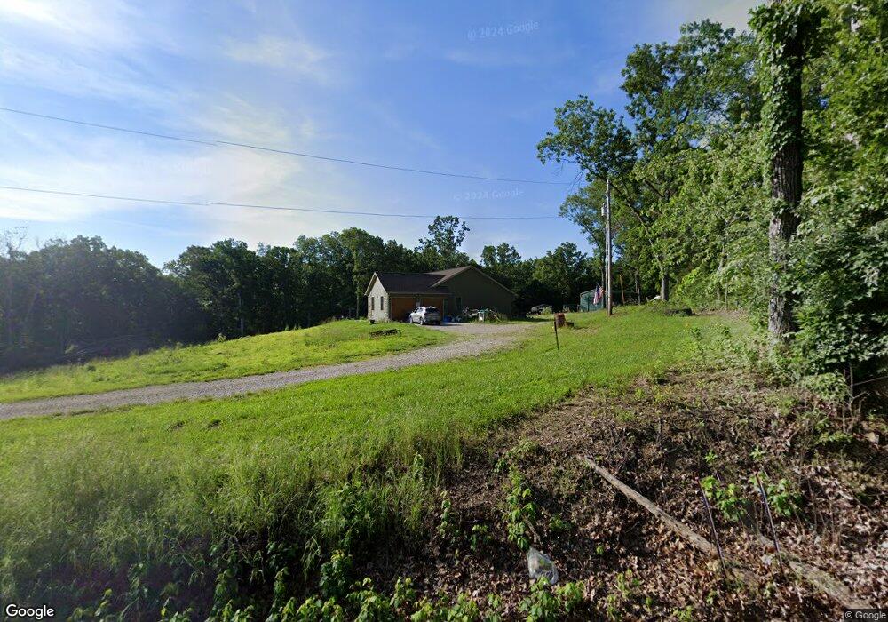
5672 Dry Branch Rd Saint Clair, MO 63077
Estimated Value: $310,000 - $712,000
3
Beds
--
Bath
1,908
Sq Ft
$262/Sq Ft
Est. Value
About This Home
This home is located at 5672 Dry Branch Rd, Saint Clair, MO 63077 and is currently estimated at $500,036, approximately $262 per square foot. 5672 Dry Branch Rd is a home with nearby schools including St. Clair Elementary School, Edgar Murray Elementary School, and St. Clair Junior High School.
Ownership History
Date
Name
Owned For
Owner Type
Purchase Details
Closed on
May 15, 2020
Sold by
Baumann Paula J Rachal and Baumann Terry L
Bought by
Rapp Thomas E and Rapp Amy L
Current Estimated Value
Home Financials for this Owner
Home Financials are based on the most recent Mortgage that was taken out on this home.
Original Mortgage
$220,000
Interest Rate
3.3%
Mortgage Type
New Conventional
Purchase Details
Closed on
Oct 28, 2011
Sold by
Rachal Louise and Rachal Carl
Bought by
Baumann Paula J Rachal and Baumann Terry L
Create a Home Valuation Report for This Property
The Home Valuation Report is an in-depth analysis detailing your home's value as well as a comparison with similar homes in the area
Home Values in the Area
Average Home Value in this Area
Purchase History
We collect this data history from publicly available records. To have your information removed, we recommend requesting removal directly through your county’s website.
| Date | Buyer | Sale Price | Title Company |
|---|---|---|---|
| Rapp Thomas E | -- | None Available | |
| Baumann Paula J Rachal | -- | None Available |
Source: Public Records
Mortgage History
We collect this data history from publicly available records. To have your information removed, we recommend requesting removal directly through your county’s website.
| Date | Status | Borrower | Loan Amount |
|---|---|---|---|
| Closed | Rapp Amy L | $267,500 | |
| Closed | Rapp Thomas E | $220,000 |
Source: Public Records
Tax History
| Year | Tax Paid | Tax Assessment Tax Assessment Total Assessment is a certain percentage of the fair market value that is determined by local assessors to be the total taxable value of land and additions on the property. | Land | Improvement |
|---|---|---|---|---|
| 2025 | $3,786 | $62,553 | $0 | $0 |
| 2024 | $3,786 | $55,323 | $0 | $0 |
| 2023 | $3,016 | $55,323 | $0 | $0 |
| 2022 | $2,648 | $48,403 | $0 | $0 |
| 2021 | $305 | $5,580 | $0 | $0 |
| 2020 | $318 | $5,580 | $0 | $0 |
| 2019 | $315 | $5,580 | $0 | $0 |
| 2018 | $319 | $5,580 | $0 | $0 |
| 2017 | $319 | $5,580 | $0 | $0 |
| 2016 | $319 | $5,580 | $0 | $0 |
| 2015 | $293 | $5,580 | $0 | $0 |
| 2014 | $294 | $5,580 | $0 | $0 |
Source: Public Records
Map
Nearby Homes
- 766 Eagles View Ln
- 763 Eagles View Ln
- 5754 Dry Branch Rd
- 0 Peacock Rd
- 1675 Peacock Rd
- 724 River Trails Rd
- 0 Oakridge Estate Block 2 Lot 40 Unit MIS26024072
- 1275 Roller Rd
- 1308 Wildwood Dr
- 1227 Timberwood Ln
- 3491 Massey Ford Rd
- 190 Whispering Pines Estate
- 2707 N Service Rd W
- 347 Roller Rd
- 1512 Oakwood Dr
- 0 Oakwood Dr
- 323 Lake Shore Dr
- 440 Lake Shore Dr
- 5 Lots Mosley Ave
- 208 Mosley Ave
- 5665 Dry Branch Rd
- 5675 Dry Branch Rd
- 5634 Dry Branch Rd
- 5710 Dry Branch Rd
- 5768 Dry Branch Rd
- 5750 Dry Branch Rd
- 5595 Dry Branch Rd
- 5572 Dry Branch Rd
- 5579 Dry Branch Rd
- 291 Bird Song Ln
- 287 Bird Song Ln
- 287 Bird Song Ln
- 5545 Dry Branch Rd
- 5564 Dry Branch Rd
- 0 Turkey Ridge Rd Unit 12023415
- 0 Turkey Ridge Rd Unit 12023444
- 0 Turkey Ridge Rd Unit 14054017
- 0 Tracts 7 & 8 Turkey Ridge Rd Unit 20075914
- 5556 Dry Branch Rd
- 5758 Dry Branch Rd
Your Personal Tour Guide
Ask me questions while you tour the home.