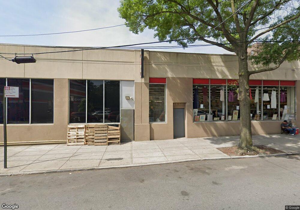
5673-5695 Broadway Bronx, NY 10463
Kingsbridge NeighborhoodEstimated Value: $7,281,113
--
Bed
--
Bath
48,964
Sq Ft
$149/Sq Ft
Est. Value
About This Home
This home is located at 5673-5695 Broadway, Bronx, NY 10463 and is currently priced at $7,281,113, approximately $148 per square foot. 5673-5695 Broadway is a home located in Bronx County with nearby schools including Milton Fein School, John R Bonfield Elementary School, and Pilot Butte Middle School.
Ownership History
Date
Name
Owned For
Owner Type
Purchase Details
Closed on
Aug 25, 2025
Sold by
Andrea Kringstein Tr Uta Richard Kringst
Bought by
Richard Kringstein 2025 Irrevocable Trus
Current Estimated Value
Purchase Details
Closed on
Nov 8, 2024
Sold by
Kringstein Barry
Bought by
Barry Kringstein 2024 Living Trust
Purchase Details
Closed on
Oct 2, 2024
Sold by
Kringstein Richard
Bought by
Richard Kringstein 2024 Living Trust
Purchase Details
Closed on
May 18, 2023
Sold by
Bk Bronx Realty Llc and Rk Bronx Realty Llc
Bought by
Bk Bronx Realty Owners Llc and Rk Bronx Realty Owners Llc
Purchase Details
Closed on
Apr 4, 2018
Sold by
Kay Realty Co and Kay Realty Llc
Bought by
Bk Bronx Realty Llc and Rk Bronx Realty Llc
Create a Home Valuation Report for This Property
The Home Valuation Report is an in-depth analysis detailing your home's value as well as a comparison with similar homes in the area
Home Values in the Area
Average Home Value in this Area
Purchase History
| Date | Buyer | Sale Price | Title Company |
|---|---|---|---|
| Richard Kringstein 2025 Irrevocable Trus | $7,255,700 | -- | |
| Barry Kringstein 2025 Irrevocable Trust | $7,044,800 | -- | |
| Barry Kringstein 2024 Living Trust | $185,000 | -- | |
| Richard Kringstein 2024 Living Trust | $185,000 | -- | |
| Bk Bronx Realty Owners Llc | -- | -- | |
| Bk Bronx Realty Llc | -- | -- |
Source: Public Records
Tax History Compared to Growth
Tax History
| Year | Tax Paid | Tax Assessment Tax Assessment Total Assessment is a certain percentage of the fair market value that is determined by local assessors to be the total taxable value of land and additions on the property. | Land | Improvement |
|---|---|---|---|---|
| 2025 | $604,310 | $5,579,880 | $2,088,900 | $3,490,980 |
| 2024 | $604,310 | $5,705,340 | $2,088,900 | $3,616,440 |
| 2023 | $630,859 | $5,925,780 | $2,088,900 | $3,836,880 |
| 2022 | $576,946 | $5,370,300 | $2,088,900 | $3,281,400 |
| 2021 | $538,208 | $5,032,800 | $2,088,900 | $2,943,900 |
| 2020 | $637,051 | $6,539,400 | $2,088,900 | $4,450,500 |
| 2019 | $601,520 | $6,608,700 | $2,088,900 | $4,519,800 |
| 2018 | $583,389 | $5,618,700 | $1,687,500 | $3,931,200 |
| 2017 | $533,824 | $5,742,450 | $1,687,500 | $4,054,950 |
| 2016 | $496,386 | $5,931,000 | $1,566,900 | $4,364,100 |
| 2015 | $177,893 | $4,915,800 | $1,305,000 | $3,610,800 |
| 2014 | $177,893 | $4,665,600 | $1,305,000 | $3,360,600 |
Source: Public Records
Map
Nearby Homes
- 315 W 232nd St Unit 2M
- 315 W 232nd St Unit 3C
- 315 W 232nd St Unit 1F
- 290 W 232 St Unit 4D
- 290 W 232nd St Unit 2C
- 3130 Irwin Ave Unit 2C
- 3123 Bailey Ave Unit 4A
- 3123 Bailey Ave Unit 3A
- 3119 Bailey Ave Unit 2E
- 511 W 232 St Unit E56
- 3607 Irwin Ave
- 3475 Greystone Ave Unit 7E
- 3585 Greystone Ave Unit 3E
- 3585 Greystone Ave Unit 3DE
- 3235 Cambridge Ave Unit 5J
- 460 W 236th St Unit 4B
- 460 W 236th St Unit 6A
- 3384 Fort Independence St
- 3099 Heath Ave Unit 2A
- 3083 Heath Ave
- 217-223 W 233rd St
- 3240 Kingsbridge Ave
- 3246 Kingsbridge Ave
- 3246 Kingsbridge Ave Unit 25
- 3246 Kingsbridge Ave Unit 4
- 3246 Kingsbridge Ave Unit 1
- 3246 Kingsbridge Ave Unit 53
- 3246 Kingsbridge Ave Unit 55
- 3246 Kingsbridge Ave Unit 52
- 3246 Kingsbridge Ave Unit 6
- 3246 Kingsbridge Ave Unit 26
- 225 W 233rd St
- 5661-5669 Broadway
- 233-235 W 233rd St
- 5701 Broadway
- 235 W 233rd St Unit 5D
- KINGSBRIDGE Kingsbridge Ave Unit D
- KINGSBRIDGE Kingsbridge Ave
- kingsbridge ave Kingsbridge Ave E Unit 2 D
- kingsbridge ave Kingsbridge Ave E Unit 4B