5675 Poff Rd Martinsville, IN 46151
Estimated Value: $398,405 - $644,000
3
Beds
4
Baths
3,622
Sq Ft
$140/Sq Ft
Est. Value
About This Home
This home is located at 5675 Poff Rd, Martinsville, IN 46151 and is currently estimated at $507,851, approximately $140 per square foot. 5675 Poff Rd is a home located in Morgan County with nearby schools including Eminence Elementary School and Eminence Junior/Senior High School.
Ownership History
Date
Name
Owned For
Owner Type
Purchase Details
Closed on
Oct 24, 2023
Sold by
Witte Martin and Witte Shannon K
Bought by
Skiles Joseph
Current Estimated Value
Purchase Details
Closed on
May 16, 2006
Sold by
Russell Thomas J
Bought by
Witte Martin and Witte Shannon K
Home Financials for this Owner
Home Financials are based on the most recent Mortgage that was taken out on this home.
Original Mortgage
$294,000
Interest Rate
6.62%
Mortgage Type
New Conventional
Create a Home Valuation Report for This Property
The Home Valuation Report is an in-depth analysis detailing your home's value as well as a comparison with similar homes in the area
Home Values in the Area
Average Home Value in this Area
Purchase History
| Date | Buyer | Sale Price | Title Company |
|---|---|---|---|
| Skiles Joseph | $325,000 | Chicago Title Ins Co | |
| Witte Martin | -- | Lawyers Title Ins Corp |
Source: Public Records
Mortgage History
| Date | Status | Borrower | Loan Amount |
|---|---|---|---|
| Previous Owner | Witte Martin | $294,000 |
Source: Public Records
Tax History Compared to Growth
Tax History
| Year | Tax Paid | Tax Assessment Tax Assessment Total Assessment is a certain percentage of the fair market value that is determined by local assessors to be the total taxable value of land and additions on the property. | Land | Improvement |
|---|---|---|---|---|
| 2024 | $2,299 | $342,800 | $84,800 | $258,000 |
| 2023 | $1,648 | $299,200 | $34,400 | $264,800 |
| 2022 | $2,941 | $274,000 | $33,500 | $240,500 |
| 2021 | $2,665 | $224,500 | $30,000 | $194,500 |
| 2020 | $2,959 | $240,200 | $28,000 | $212,200 |
| 2019 | $2,820 | $211,300 | $28,600 | $182,700 |
| 2018 | $2,705 | $204,000 | $28,700 | $175,300 |
| 2017 | $2,697 | $202,000 | $29,300 | $172,700 |
| 2016 | $2,509 | $192,400 | $29,600 | $162,800 |
| 2014 | $1,588 | $183,500 | $30,200 | $153,300 |
| 2013 | $1,588 | $184,600 | $29,500 | $155,100 |
Source: Public Records
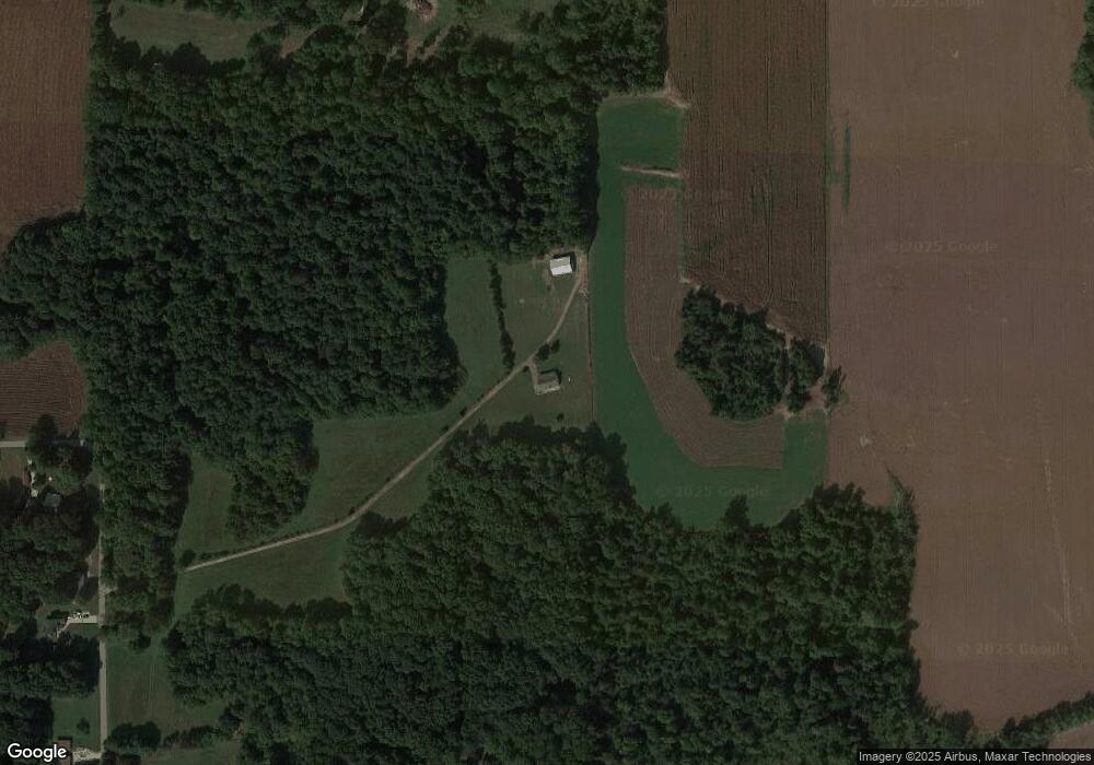
Map
Nearby Homes
- 5571 Poff Rd
- 0 State Road 142
- 9024 N Herbemont Rd
- 6047 N Brummett Rd
- 0 W Awbrey Rd
- 10676 Hickory Ct
- 0 N Bill Simons Rd
- 7299 N Fawn Ln
- 8302 W Lewisville Rd
- 3861 N Kindred Ridge
- 3125 N Hurricane Hills E
- 3755 N Kindred Ridge
- 3520 Morgan Oaks Ct
- 3193 Lewisville Ln
- 6389 N Forrest St
- 5105 State Road 42
- 5245 Upper Patton Park Rd
- 7221 State Road 42
- 7333 State Road 42
- 4585 W Bent Branch Ln