567A Drift Rd Westport, MA 02790
Booth/Handy Four Corners NeighborhoodEstimated Value: $815,190 - $1,103,000
3
Beds
--
Bath
3,161
Sq Ft
$310/Sq Ft
Est. Value
About This Home
This home is located at 567A Drift Rd, Westport, MA 02790 and is currently estimated at $979,798, approximately $309 per square foot. 567A Drift Rd is a home located in Bristol County with nearby schools including Alice A. Macomber Primary School, Westport Elementary School, and Westport Middle-High School.
Ownership History
Date
Name
Owned For
Owner Type
Purchase Details
Closed on
Sep 24, 2004
Sold by
Mccullagh Elizabeth B and Mccullagh Michael R
Bought by
Siodlak-Rubino Amy and Rubino Andrew
Current Estimated Value
Home Financials for this Owner
Home Financials are based on the most recent Mortgage that was taken out on this home.
Original Mortgage
$464,000
Outstanding Balance
$231,642
Interest Rate
5.89%
Mortgage Type
Purchase Money Mortgage
Estimated Equity
$748,156
Create a Home Valuation Report for This Property
The Home Valuation Report is an in-depth analysis detailing your home's value as well as a comparison with similar homes in the area
Home Values in the Area
Average Home Value in this Area
Purchase History
| Date | Buyer | Sale Price | Title Company |
|---|---|---|---|
| Siodlak-Rubino Amy | $580,000 | -- |
Source: Public Records
Mortgage History
| Date | Status | Borrower | Loan Amount |
|---|---|---|---|
| Open | Siodlak-Rubino Amy | $464,000 |
Source: Public Records
Tax History
| Year | Tax Paid | Tax Assessment Tax Assessment Total Assessment is a certain percentage of the fair market value that is determined by local assessors to be the total taxable value of land and additions on the property. | Land | Improvement |
|---|---|---|---|---|
| 2025 | $5,633 | $756,100 | $215,600 | $540,500 |
| 2024 | $5,647 | $730,500 | $200,200 | $530,300 |
| 2023 | $5,663 | $694,000 | $190,900 | $503,100 |
| 2022 | $5,284 | $623,100 | $190,900 | $432,200 |
| 2021 | $5,225 | $606,200 | $174,000 | $432,200 |
| 2020 | $5,002 | $593,300 | $161,100 | $432,200 |
| 2019 | $4,803 | $580,800 | $148,700 | $432,100 |
| 2018 | $4,324 | $529,200 | $169,000 | $360,200 |
| 2017 | $4,218 | $529,200 | $169,000 | $360,200 |
| 2016 | $4,088 | $516,800 | $169,000 | $347,800 |
| 2015 | $3,743 | $472,000 | $172,800 | $299,200 |
Source: Public Records
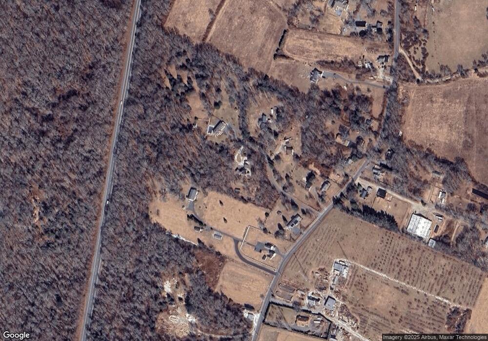
Map
Nearby Homes
- 0 Hidden Glen Ln
- 640 Main Rd
- 45 Marcotte Unit Lot 7
- 11 Marcotte Dr Unit Lot 2
- 31 Brookwood Dr
- 10 Fernmarsh Ln
- 8 Village Way
- 837 Main Road & Lot 2
- 920 Drift Rd
- 4 Main Rd
- 101 Adamsville Rd
- 978 Sodom Rd
- 441 Old County Rd
- 330 Sodom Rd
- 6 Angel Ct
- 588 Gifford Rd
- 0 American Legion Hwy Unit 73473517
- 214 Sawdy Dr
- 2 Winterberry Ln
- 10 Elise Michelle Way
- 567C Drift Rd
- 567B Drift Rd
- 557 Drift Rd
- 541 Drift Rd
- 545 Drift Rd
- 561 Drift Rd
- 567 Drift Rd
- 567D Drift Rd
- 521 Drift Rd
- 531 Drift Rd
- 546 Drift Rd
- 581A Drift Rd
- 581 Drift Rd
- 581 Drift Rd Unit D
- 581 Drift Rd Unit A
- 581 Drift Rd Unit 1
- 581 Drift Rd Unit 1
- 581 Drift Rd Unit B
- 581 Drift Rd Unit C
- 581 Drift Rd Unit E
Your Personal Tour Guide
Ask me questions while you tour the home.