567C Drift Rd Westport, MA 02790
Booth/Handy Four Corners NeighborhoodEstimated Value: $679,000 - $823,000
3
Beds
--
Bath
2,146
Sq Ft
$353/Sq Ft
Est. Value
About This Home
This home is located at 567C Drift Rd, Westport, MA 02790 and is currently estimated at $758,257, approximately $353 per square foot. 567C Drift Rd is a home located in Bristol County with nearby schools including Alice A. Macomber Primary School, Westport Elementary School, and Westport Middle-High School.
Ownership History
Date
Name
Owned For
Owner Type
Purchase Details
Closed on
Sep 30, 1998
Sold by
Walters Brian H and Walters Cynthia L
Bought by
Amaral Bradford M and Amaral Sherry
Current Estimated Value
Home Financials for this Owner
Home Financials are based on the most recent Mortgage that was taken out on this home.
Original Mortgage
$155,000
Outstanding Balance
$33,906
Interest Rate
6.89%
Mortgage Type
Purchase Money Mortgage
Estimated Equity
$724,351
Purchase Details
Closed on
Apr 1, 1993
Sold by
Boisse Geraldine
Bought by
Walters Brian H and Waters Cynthia L
Home Financials for this Owner
Home Financials are based on the most recent Mortgage that was taken out on this home.
Original Mortgage
$128,000
Interest Rate
7.6%
Mortgage Type
Purchase Money Mortgage
Create a Home Valuation Report for This Property
The Home Valuation Report is an in-depth analysis detailing your home's value as well as a comparison with similar homes in the area
Home Values in the Area
Average Home Value in this Area
Purchase History
| Date | Buyer | Sale Price | Title Company |
|---|---|---|---|
| Amaral Bradford M | $173,000 | -- | |
| Walters Brian H | $160,000 | -- |
Source: Public Records
Mortgage History
| Date | Status | Borrower | Loan Amount |
|---|---|---|---|
| Open | Walters Brian H | $155,000 | |
| Previous Owner | Walters Brian H | $128,000 | |
| Previous Owner | Walters Brian H | $85,000 | |
| Previous Owner | Walters Brian H | $10,000 |
Source: Public Records
Tax History
| Year | Tax Paid | Tax Assessment Tax Assessment Total Assessment is a certain percentage of the fair market value that is determined by local assessors to be the total taxable value of land and additions on the property. | Land | Improvement |
|---|---|---|---|---|
| 2025 | $4,139 | $555,600 | $217,200 | $338,400 |
| 2024 | $4,130 | $534,300 | $201,800 | $332,500 |
| 2023 | $4,255 | $521,500 | $192,500 | $329,000 |
| 2022 | $4,008 | $472,600 | $192,500 | $280,100 |
| 2021 | $3,928 | $455,700 | $175,600 | $280,100 |
| 2020 | $3,732 | $442,700 | $162,600 | $280,100 |
| 2019 | $3,619 | $437,600 | $150,100 | $287,500 |
| 2018 | $3,507 | $429,200 | $170,300 | $258,900 |
| 2017 | $3,446 | $432,400 | $170,300 | $262,100 |
| 2016 | $3,340 | $422,300 | $170,300 | $252,000 |
| 2015 | $3,249 | $409,700 | $174,000 | $235,700 |
Source: Public Records
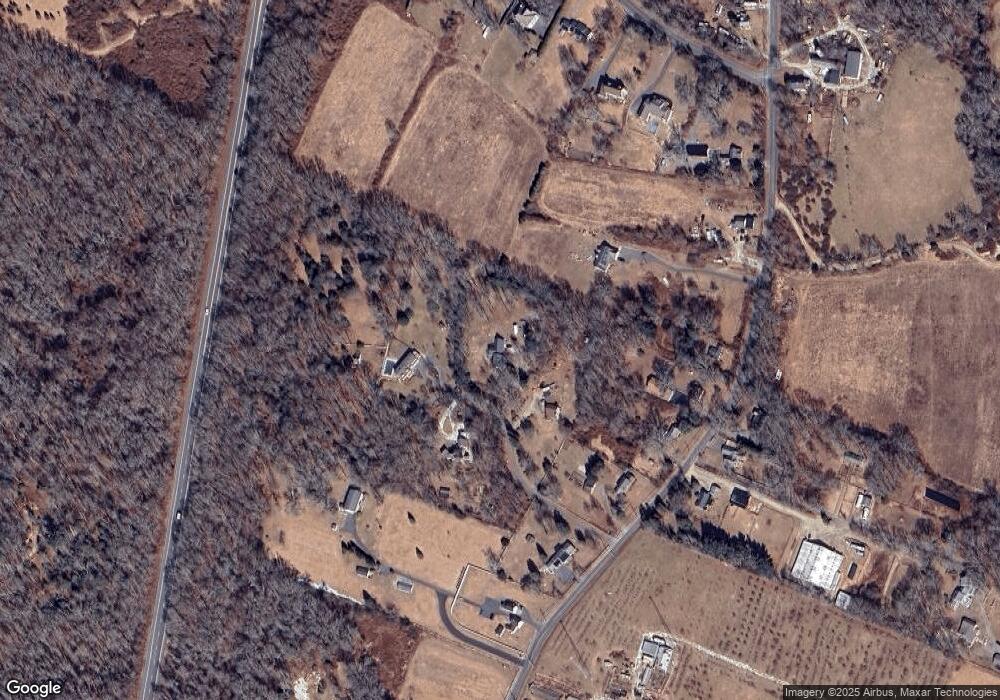
Map
Nearby Homes
- 612 Drift Rd
- 0 Hidden Glen Ln
- 640 Main Rd
- 45 Marcotte Unit Lot 7
- 11 Marcotte Dr Unit Lot 2
- 10 Fernmarsh Ln
- 8 Village Way
- 923 Drift Rd
- 920 Drift Rd
- 4 Main Rd
- 839 Main Rd
- 101 Adamsville Rd
- 978 Sodom Rd
- 441 Old County Rd
- 330 Sodom Rd
- 119 White Oak Run
- 0 Sodom Rd Unit 73484265
- 6 Angel Ct
- 588 Gifford Rd
- 0 American Legion Hwy Unit 73473517
- 567A Drift Rd
- 567B Drift Rd
- 557 Drift Rd
- 541 Drift Rd
- 545 Drift Rd
- 561 Drift Rd
- 567 Drift Rd
- 567D Drift Rd
- 521 Drift Rd
- 531 Drift Rd
- 546 Drift Rd
- 581A Drift Rd
- 581 Drift Rd
- 581 Drift Rd Unit D
- 581 Drift Rd Unit A
- 581 Drift Rd Unit 1
- 581 Drift Rd Unit 1
- 581 Drift Rd Unit B
- 581 Drift Rd Unit C
- 581 Drift Rd Unit E
Your Personal Tour Guide
Ask me questions while you tour the home.