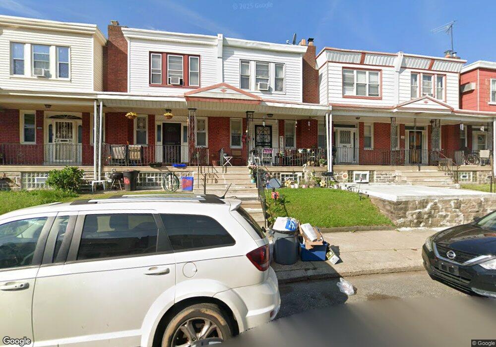
568 Anchor St Philadelphia, PA 19120
Lawncrest NeighborhoodEstimated Value: $186,000 - $203,000
3
Beds
1
Bath
1,102
Sq Ft
$176/Sq Ft
Est. Value
About This Home
This home is located at 568 Anchor St, Philadelphia, PA 19120 and is currently estimated at $194,080, approximately $176 per square foot. 568 Anchor St is a home located in Philadelphia County with nearby schools including Benjamin Franklin Elementary School, Samuel Fels High School, and University Creighton Charter School.
Ownership History
Date
Name
Owned For
Owner Type
Purchase Details
Closed on
Apr 7, 2000
Sold by
Rimshaw William Richard and Rimshaw Eleanor R
Bought by
Weight Edith Harris
Current Estimated Value
Home Financials for this Owner
Home Financials are based on the most recent Mortgage that was taken out on this home.
Original Mortgage
$44,555
Outstanding Balance
$15,297
Interest Rate
8.26%
Estimated Equity
$178,783
Create a Home Valuation Report for This Property
The Home Valuation Report is an in-depth analysis detailing your home's value as well as a comparison with similar homes in the area
Home Values in the Area
Average Home Value in this Area
Purchase History
| Date | Buyer | Sale Price | Title Company |
|---|---|---|---|
| Weight Edith Harris | $46,900 | -- |
Source: Public Records
Mortgage History
| Date | Status | Borrower | Loan Amount |
|---|---|---|---|
| Open | Weight Edith Harris | $44,555 |
Source: Public Records
Tax History Compared to Growth
Tax History
| Year | Tax Paid | Tax Assessment Tax Assessment Total Assessment is a certain percentage of the fair market value that is determined by local assessors to be the total taxable value of land and additions on the property. | Land | Improvement |
|---|---|---|---|---|
| 2025 | $1,786 | $168,200 | $33,640 | $134,560 |
| 2024 | $1,786 | $168,200 | $33,640 | $134,560 |
| 2023 | $1,786 | $127,600 | $25,520 | $102,080 |
| 2022 | $619 | $82,600 | $25,520 | $57,080 |
| 2021 | $1,249 | $0 | $0 | $0 |
| 2020 | $1,249 | $0 | $0 | $0 |
| 2019 | $1,198 | $0 | $0 | $0 |
| 2018 | $809 | $0 | $0 | $0 |
| 2017 | $1,229 | $0 | $0 | $0 |
| 2016 | $809 | $0 | $0 | $0 |
| 2015 | $775 | $0 | $0 | $0 |
| 2014 | -- | $87,800 | $13,987 | $73,813 |
| 2012 | -- | $12,672 | $876 | $11,796 |
Source: Public Records
Map
Nearby Homes
- 554 E Carver St
- 569 E Sanger St
- 561 E Cheltenham Ave
- 578 Rosalie St Unit A
- 5724 Colgate St
- 615 Brill St
- 619 Brill St
- 539 E Godfrey Ave
- 517 E Cheltenham Ave
- 604 Alcott St
- 588 E Godfrey Ave
- 644 E Cheltenham Ave
- 539 Van Kirk St
- 5915 Palmetto St
- 5922 Elsinore St
- 508 E Godfrey Ave
- 5934 Palmetto St
- 5939 Malta St
- 5920 Lawndale St
- 5943 Malta St