Estimated Value: $282,000 - $306,066
3
Beds
3
Baths
2,100
Sq Ft
$140/Sq Ft
Est. Value
About This Home
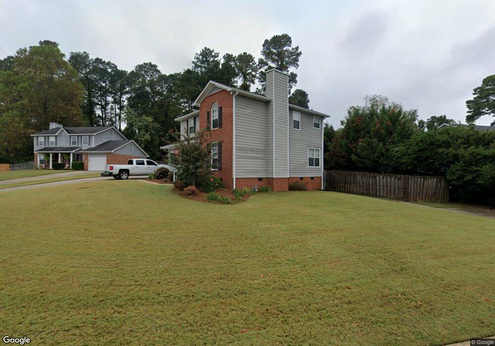
This home is located at 568 Hunterdale Rd, Evans, GA 30809 and is currently estimated at $293,267, approximately $139 per square foot. 568 Hunterdale Rd is a home located in Columbia County with nearby schools including Northmore Elementary School, Lincoln Elementary School, and Blue Ridge Elementary School.
Ownership History
Date
Name
Owned For
Owner Type
Purchase Details
Closed on
May 20, 2020
Sold by
Simon Lori
Bought by
Christopher Simon
Current Estimated Value
Purchase Details
Closed on
Jul 28, 2006
Sold by
Beatty James M
Bought by
Simon Christopher N
Home Financials for this Owner
Home Financials are based on the most recent Mortgage that was taken out on this home.
Original Mortgage
$151,320
Interest Rate
6.74%
Mortgage Type
FHA
Create a Home Valuation Report for This Property
The Home Valuation Report is an in-depth analysis detailing your home's value as well as a comparison with similar homes in the area
Home Values in the Area
Average Home Value in this Area
Purchase History
| Date | Buyer | Sale Price | Title Company |
|---|---|---|---|
| Christopher Simon | -- | -- | |
| Simon Christopher N | $153,700 | -- |
Source: Public Records
Mortgage History
| Date | Status | Borrower | Loan Amount |
|---|---|---|---|
| Previous Owner | Simon Christopher N | $151,320 |
Source: Public Records
Tax History Compared to Growth
Tax History
| Year | Tax Paid | Tax Assessment Tax Assessment Total Assessment is a certain percentage of the fair market value that is determined by local assessors to be the total taxable value of land and additions on the property. | Land | Improvement |
|---|---|---|---|---|
| 2025 | $2,967 | $123,929 | $20,304 | $103,625 |
| 2024 | $2,977 | $118,787 | $19,004 | $99,783 |
| 2023 | $2,977 | $112,796 | $17,604 | $95,192 |
| 2022 | $2,616 | $100,390 | $14,804 | $85,586 |
| 2021 | $2,334 | $85,646 | $13,804 | $71,842 |
| 2020 | $2,323 | $81,568 | $13,004 | $68,564 |
| 2019 | $2,330 | $81,825 | $12,404 | $69,421 |
| 2018 | $2,039 | $71,081 | $12,104 | $58,977 |
| 2017 | $2,148 | $74,736 | $11,204 | $63,532 |
| 2016 | $1,936 | $69,652 | $10,480 | $59,172 |
| 2015 | $1,879 | $67,393 | $9,980 | $57,413 |
| 2014 | $1,817 | $64,294 | $9,780 | $54,514 |
Source: Public Records
Map
Nearby Homes
- 4190 Litchfield Ln
- 579 Litchfield Ct
- 0 Commons Dr
- 598 Bradford Ln
- 4209 Fairfield Cir
- 593 Blue Ridge Crossing
- 516 McKinnes Park
- 4157 Arlington Rd
- 1009 Barrett Dr
- 4116 Dunes Dr
- 701 Fosters Ct
- 358 Sumac Trail
- 333 Sumac Trail
- 368 Sumac Trail
- 418 Santa Anna Trail
- 155 Canton Park Ave
- 652 King Taylor Rd
- 2025 Grace Ave
- 4444 Peregrine Place
- 644 Emerald Crossing
- 570 Hunterdale Rd
- 566 Hunterdale Rd
- 4192 Litchfield Ln
- 564 Hunterdale Rd
- 567 Hunterdale Rd
- 4194 Litchfield Ln
- 565 Hunterdale Rd
- 574 Litchfield Ln
- 563 Hunterdale Rd
- 562 Hunterdale Rd
- 4196 Litchfield Ln
- 4189 Litchfield Ln
- 4191 Litchfield Ln
- 565 Fairfield Way
- 567 Fairfield Way
- 561 Hunterdale Rd
- 563 Fairfield Way
- 4185 Litchfield Ln
- 560 Hunterdale Rd