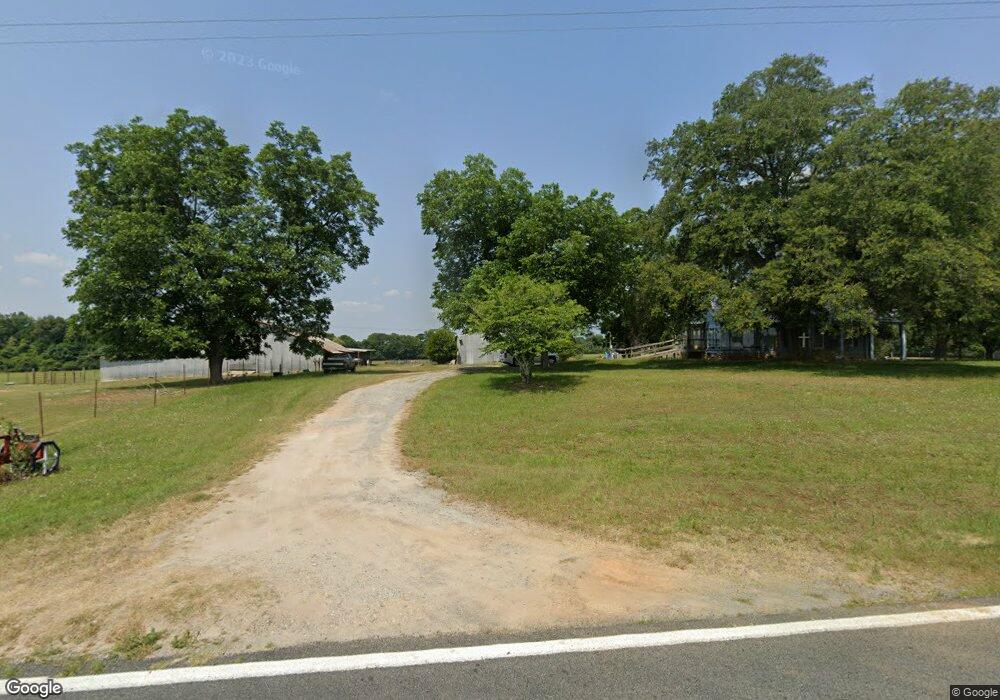
568 Mac Thompson Rd Cochran, GA 31014
Estimated Value: $133,000 - $169,000
3
Beds
1
Bath
1,290
Sq Ft
$115/Sq Ft
Est. Value
About This Home
This home is located at 568 Mac Thompson Rd, Cochran, GA 31014 and is currently estimated at $148,034, approximately $114 per square foot. 568 Mac Thompson Rd is a home located in Bleckley County with nearby schools including Bleckley County Primary School, Bleckley County Elementary School, and Bleckley Middle School.
Ownership History
Date
Name
Owned For
Owner Type
Purchase Details
Closed on
Apr 6, 2015
Sold by
Thompson Charles A Esta
Bought by
Babcock Brett
Current Estimated Value
Home Financials for this Owner
Home Financials are based on the most recent Mortgage that was taken out on this home.
Original Mortgage
$50,729
Interest Rate
3.84%
Mortgage Type
New Conventional
Purchase Details
Closed on
Jan 11, 1976
Bought by
Thompson Charles A
Create a Home Valuation Report for This Property
The Home Valuation Report is an in-depth analysis detailing your home's value as well as a comparison with similar homes in the area
Home Values in the Area
Average Home Value in this Area
Purchase History
| Date | Buyer | Sale Price | Title Company |
|---|---|---|---|
| Babcock Brett | $60,000 | -- | |
| Thompson Charles A | -- | -- |
Source: Public Records
Mortgage History
| Date | Status | Borrower | Loan Amount |
|---|---|---|---|
| Closed | Babcock Brett | $50,729 |
Source: Public Records
Tax History Compared to Growth
Tax History
| Year | Tax Paid | Tax Assessment Tax Assessment Total Assessment is a certain percentage of the fair market value that is determined by local assessors to be the total taxable value of land and additions on the property. | Land | Improvement |
|---|---|---|---|---|
| 2024 | $1,473 | $55,080 | $6,760 | $48,320 |
| 2023 | $1,528 | $55,080 | $6,760 | $48,320 |
| 2022 | $1,396 | $51,320 | $6,760 | $44,560 |
| 2021 | $1,156 | $39,704 | $5,400 | $34,304 |
| 2020 | $1,156 | $39,704 | $5,400 | $34,304 |
| 2019 | $889 | $30,482 | $7,291 | $23,191 |
| 2018 | $897 | $30,482 | $7,291 | $23,191 |
| 2017 | $896 | $30,482 | $7,291 | $23,191 |
| 2016 | $706 | $30,482 | $7,291 | $23,191 |
| 2015 | -- | $30,482 | $7,291 | $23,191 |
| 2014 | -- | $28,112 | $4,921 | $23,191 |
| 2013 | -- | $28,112 | $4,921 | $23,191 |
Source: Public Records
Map
Nearby Homes
- 169 Woodland Trail Rd
- 0 Woodland Trail Rd Unit 12994880
- LOT 46 Woodland Trail Rd
- LOT 47 Woodland Trail Rd
- LOT 24 Woodland Trail Rd
- 0 Mac Thompson Rd Unit 255994
- 0 Mac Thompson Rd Unit 16072590
- 0 Jordan Place
- 187 Osprey Rd
- 406 Mac Thompson Rd
- RV Park Mac Thompson Rd
- Land Mac Thompson Rd
- 119 Moll Dr
- 0 Willow Creek Run
- 116 Pecan St
- 112 Pecan St
- 114 Pecan St
- 140 Racetrack Dr
- 150 Wood Oak Cir
- 0 Wood Oak Cir Unit 233873
- 625 Mac Thompson Rd
- 118 Cranford Rd
- 111 Crane Rd
- 241 Crane Rd
- 0 Crane Rd Unit 8461627
- 0 Crane Rd Unit 3090836
- 0 Crane Rd Unit 7382506
- 0 Crane Rd Unit 232981
- 0 Crane Rd Unit 8951841
- 0 Crane Rd Unit 8779568
- 0 Crane Rd Unit 196590
- 0 Crane Rd Unit 146606
- 0 Crane Rd Unit Parcel N 8504268
- 0 Crane Rd Unit Parcel P 8504281
- PARCEL M Crane Rd Unit M
- PARCEL L Crane Rd Unit L
- Tract A Crane Rd
- Parcel J Crane Rd
- 20 Woodland Trail Rd
- 18 Woodland Trail Rd
