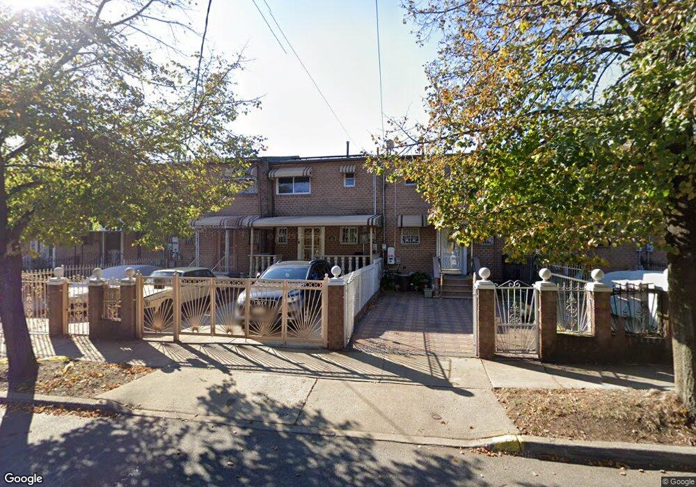
568 Powell St Brooklyn, NY 11212
Brownsville NeighborhoodEstimated Value: $414,000 - $639,000
Studio
--
Bath
1,116
Sq Ft
$516/Sq Ft
Est. Value
About This Home
This home is located at 568 Powell St, Brooklyn, NY 11212 and is currently estimated at $575,891, approximately $516 per square foot. 568 Powell St is a home located in Kings County with nearby schools including P.S. 165 Ida Posner, P.S. 150 - Christopher, and P.S. 156 Waverly.
Ownership History
Date
Name
Owned For
Owner Type
Purchase Details
Closed on
Apr 8, 2010
Sold by
Phillips Esther M
Bought by
Gonzalez Shalonda
Current Estimated Value
Home Financials for this Owner
Home Financials are based on the most recent Mortgage that was taken out on this home.
Original Mortgage
$301,342
Outstanding Balance
$200,406
Interest Rate
4.97%
Mortgage Type
Purchase Money Mortgage
Estimated Equity
$375,485
Purchase Details
Closed on
Jul 23, 2002
Sold by
Peters Bert Clement
Bought by
Phillips Esther M and Phillips Gerald H
Home Financials for this Owner
Home Financials are based on the most recent Mortgage that was taken out on this home.
Original Mortgage
$182,141
Interest Rate
6.48%
Create a Home Valuation Report for This Property
The Home Valuation Report is an in-depth analysis detailing your home's value as well as a comparison with similar homes in the area
Home Values in the Area
Average Home Value in this Area
Purchase History
| Date | Buyer | Sale Price | Title Company |
|---|---|---|---|
| Gonzalez Shalonda | $295,000 | -- | |
| Phillips Esther M | -- | -- |
Source: Public Records
Mortgage History
| Date | Status | Borrower | Loan Amount |
|---|---|---|---|
| Open | Gonzalez Shalonda | $301,342 | |
| Previous Owner | Phillips Esther M | $182,141 |
Source: Public Records
Tax History
| Year | Tax Paid | Tax Assessment Tax Assessment Total Assessment is a certain percentage of the fair market value that is determined by local assessors to be the total taxable value of land and additions on the property. | Land | Improvement |
|---|---|---|---|---|
| 2025 | $3,538 | $32,700 | $13,320 | $19,380 |
| 2024 | $3,538 | $31,800 | $13,320 | $18,480 |
| 2023 | $2,634 | $35,760 | $13,320 | $22,440 |
| 2022 | $2,393 | $30,420 | $13,320 | $17,100 |
| 2021 | $2,330 | $30,360 | $13,320 | $17,040 |
| 2020 | $1,045 | $24,780 | $13,320 | $11,460 |
| 2019 | $2,952 | $24,780 | $13,320 | $11,460 |
| 2018 | $2,864 | $18,247 | $9,165 | $9,082 |
| 2017 | $3,050 | $17,528 | $10,376 | $7,152 |
| 2016 | $2,786 | $16,536 | $11,617 | $4,919 |
| 2015 | $2,060 | $15,600 | $11,100 | $4,500 |
| 2014 | $2,060 | $15,206 | $10,011 | $5,195 |
Source: Public Records
Map
Nearby Homes
- 699 Sackman St
- 546 Powell St
- 592 Powell St
- 797 Mother Gaston Blvd
- 555 Christopher Ave
- 625 Sackman St
- 578 Christopher Ave
- 533 Snediker Ave
- 584 Hinsdale St
- 589 Hinsdale St
- 578 Williams Ave
- 582 Williams Ave
- 892 Mother Gaston Blvd
- 650 Williams Ave
- 1753 Linden Blvd
- 660 Williams Ave
- 1755 Linden Blvd
- 460 Hinsdale St
- 606 Alabama Ave
- 610 Alabama Ave
Your Personal Tour Guide
Ask me questions while you tour the home.