568 Pulinski Rd Warminster, PA 18974
Estimated Value: $972,000 - $1,838,931
3
Beds
2
Baths
1,791
Sq Ft
$820/Sq Ft
Est. Value
About This Home
This home is located at 568 Pulinski Rd, Warminster, PA 18974 and is currently estimated at $1,468,644, approximately $820 per square foot. 568 Pulinski Rd is a home located in Bucks County with nearby schools including Maureen M. Welch Elementary School, Richboro Middle School, and Council Rock High School - South.
Ownership History
Date
Name
Owned For
Owner Type
Purchase Details
Closed on
May 22, 2024
Sold by
Tht Developers Llc
Bought by
Miller Christopher R and Miller Kristin Nicole
Current Estimated Value
Home Financials for this Owner
Home Financials are based on the most recent Mortgage that was taken out on this home.
Original Mortgage
$1,485,027
Outstanding Balance
$1,465,061
Interest Rate
7.1%
Mortgage Type
New Conventional
Estimated Equity
$3,583
Purchase Details
Closed on
Aug 24, 2022
Sold by
Kuonen Walter A
Bought by
Tht Developers Llc
Home Financials for this Owner
Home Financials are based on the most recent Mortgage that was taken out on this home.
Original Mortgage
$1,237,500
Interest Rate
5.51%
Mortgage Type
Construction
Purchase Details
Closed on
May 9, 1952
Bought by
Kuonen Walter A and Kuonen Mary T
Create a Home Valuation Report for This Property
The Home Valuation Report is an in-depth analysis detailing your home's value as well as a comparison with similar homes in the area
Home Values in the Area
Average Home Value in this Area
Purchase History
| Date | Buyer | Sale Price | Title Company |
|---|---|---|---|
| Miller Christopher R | $1,856,284 | Land Services Usa | |
| Tht Developers Llc | $750,000 | Land Services Usa | |
| Kuonen Walter A | -- | -- |
Source: Public Records
Mortgage History
| Date | Status | Borrower | Loan Amount |
|---|---|---|---|
| Open | Miller Christopher R | $1,485,027 | |
| Previous Owner | Tht Developers Llc | $1,237,500 |
Source: Public Records
Tax History Compared to Growth
Tax History
| Year | Tax Paid | Tax Assessment Tax Assessment Total Assessment is a certain percentage of the fair market value that is determined by local assessors to be the total taxable value of land and additions on the property. | Land | Improvement |
|---|---|---|---|---|
| 2025 | $1,167 | $96,410 | $6,060 | $90,350 |
| 2024 | $1,167 | $6,060 | $6,060 | -- |
| 2023 | $6,099 | $33,600 | $16,800 | $16,800 |
| 2022 | $6,044 | $33,600 | $16,800 | $16,800 |
| 2021 | $5,852 | $33,600 | $16,800 | $16,800 |
| 2020 | $5,721 | $33,600 | $16,800 | $16,800 |
| 2019 | $5,476 | $33,600 | $16,800 | $16,800 |
| 2018 | $5,378 | $33,600 | $16,800 | $16,800 |
| 2017 | $5,171 | $33,600 | $16,800 | $16,800 |
| 2016 | $5,171 | $33,600 | $16,800 | $16,800 |
| 2015 | -- | $33,600 | $16,800 | $16,800 |
| 2014 | -- | $33,600 | $16,800 | $16,800 |
Source: Public Records
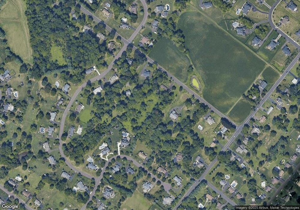
Map
Nearby Homes
- 290 Hatboro Rd
- 8 Shady Pines Dr
- 3 Shady Pines Dr
- 223 Cecelia Acres Dr
- 23 Oxford Dr
- 105 Edwards Dr
- 56 Joshua Dr
- 636 Almshouse Rd
- 18 Lacey Ln
- 8 Lacey Ln
- 21 Spring Mill Dr Unit 12
- 59 Parry Way
- The Addis Plan at The Reserve at Spring Mill
- The Beckett Plan at The Reserve at Spring Mill
- 55 Parry Way
- 11 Spring Mill Dr
- 9 Spring Mill Dr
- 56 Parry Way
- 61 Legacy Oaks Dr Unit 62
- 64 Legacy Oaks Dr Unit 81
- Lot 3 Lily Ln
- Lot 1 Lilly Ln
- Lot 2 Lily Ln
- 1 Lily Ln
- 578 Pulinski Rd
- 544 Pulinski Rd
- 588 Pulinski Rd
- 391 Foxcroft Dr
- 401 Foxcroft Dr
- 381 Foxcroft Dr
- 510 Pulinski Rd
- 373 Foxcroft Dr
- 400 Foxcroft Dr
- 47 Timothy Dr
- 411 Foxcroft Dr
- 55 Timothy Dr
- 354 Hatboro Rd
- 390 Foxcroft Dr
- 368 Hatboro Rd
- 408 Foxcroft Dr