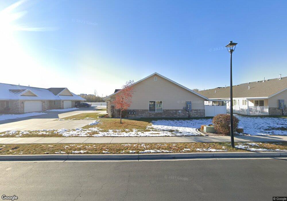
568 S 1040 E Unit 53 American Fork, UT 84003
Estimated Value: $433,000 - $461,000
3
Beds
2
Baths
1,450
Sq Ft
$305/Sq Ft
Est. Value
About This Home
This home is located at 568 S 1040 E Unit 53, American Fork, UT 84003 and is currently estimated at $442,736, approximately $305 per square foot. 568 S 1040 E Unit 53 is a home located in Utah County with nearby schools including Barratt Elementary School, American Fork Junior High School, and American Fork High School.
Ownership History
Date
Name
Owned For
Owner Type
Purchase Details
Closed on
Jun 30, 2023
Sold by
Hunt Marilyn J
Bought by
Marilyn J Hunt Family Revocable Trust and Hunt
Current Estimated Value
Purchase Details
Closed on
Jun 23, 2021
Sold by
Hunt Scott
Bought by
Hunt Marilyn J
Purchase Details
Closed on
Sep 1, 2020
Sold by
Hunt Scott A
Bought by
Hunt Marilyn J
Purchase Details
Closed on
Jul 31, 2020
Sold by
Sadlere Lynn H and Sadlere Danna D
Bought by
Hunt Scott
Create a Home Valuation Report for This Property
The Home Valuation Report is an in-depth analysis detailing your home's value as well as a comparison with similar homes in the area
Home Values in the Area
Average Home Value in this Area
Purchase History
| Date | Buyer | Sale Price | Title Company |
|---|---|---|---|
| Marilyn J Hunt Family Revocable Trust | -- | None Listed On Document | |
| Hunt Marilyn J | -- | None Available | |
| Hunt Marilyn J | -- | None Available | |
| Hunt Scott | -- | Inwest Title Services Inc |
Source: Public Records
Tax History
| Year | Tax Paid | Tax Assessment Tax Assessment Total Assessment is a certain percentage of the fair market value that is determined by local assessors to be the total taxable value of land and additions on the property. | Land | Improvement |
|---|---|---|---|---|
| 2025 | $1,066 | $213,400 | -- | -- |
| 2024 | $1,066 | $220,550 | $0 | $0 |
| 2023 | $978 | $215,820 | $0 | $0 |
| 2022 | $2,119 | $246,345 | $0 | $0 |
| 2021 | $1,736 | $315,300 | $47,300 | $268,000 |
| 2020 | $1,617 | $284,800 | $42,700 | $242,100 |
| 2019 | $1,504 | $274,000 | $41,100 | $232,900 |
| 2018 | $1,350 | $235,100 | $35,300 | $199,800 |
| 2017 | $1,376 | $129,305 | $0 | $0 |
| 2016 | $1,449 | $126,500 | $0 | $0 |
| 2015 | $241 | $20,000 | $0 | $0 |
Source: Public Records
Map
Nearby Homes
- 603 S 1040 E
- 517 S 1040 E
- 502 S 1040 E Unit 252
- 502 S 1040 E Unit 150
- 502 S 1040 E Unit 243
- 29 S 2000 W
- 28 S 1800 W
- 782 E 500 S
- 765 E 550 S
- 1058 E State Rd
- 748 E 480 S
- 1748 W 120 S Unit 58
- 1755 W 120 S Unit 56
- 723 E 500 S
- 118 S 1700 W Unit 11
- 18 S 1630 W
- 293 N 1630 W
- 250 N 1630 W
- 368 S 780 E
- 276 N 1630 W
- 568 S 1040 E
- 566 S 1040 E Unit 54
- 566 S 1040 E
- 556 S 1040 E Unit 58
- 554 S 1040 E Unit 57
- 576 S 1040 E Unit 52
- 576 S 1040 E
- 574 S 1040 E Unit 51
- 574 S 1040 E
- 552 S 1040 E Unit 56
- 572 S 1040 E
- 572 S 1040 E Unit 50
- 588 S 1040 E
- 548 S 1040 E Unit 59
- 548 S 1040 E Unit 379
- 586 S 1040 E
- 546 S 1040 E Unit 60
- 584 S 1040 E
- 544 S 1040 E
- 544 S 1040 E Unit 61
Your Personal Tour Guide
Ask me questions while you tour the home.