Estimated Value: $292,000 - $371,000
3
Beds
2
Baths
1,564
Sq Ft
$205/Sq Ft
Est. Value
About This Home
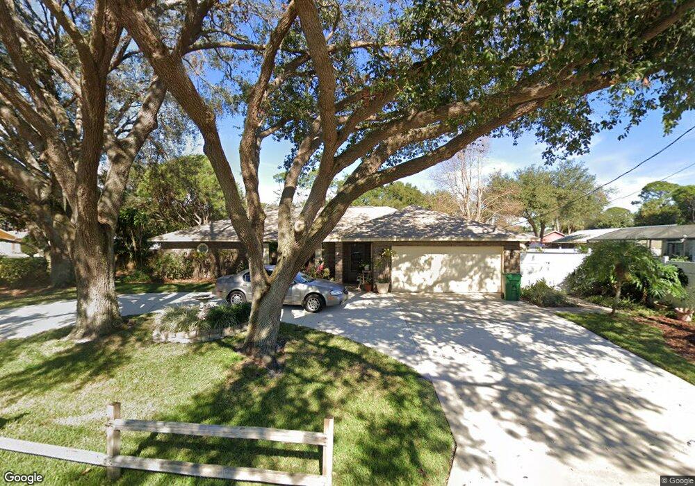
This home is located at 5680 Curtis Blvd, Cocoa, FL 32927 and is currently estimated at $320,000, approximately $204 per square foot. 5680 Curtis Blvd is a home located in Brevard County with nearby schools including Enterprise Elementary School, Space Coast Junior/Senior High School, and East Atlantic Prep of Brevard County.
Ownership History
Date
Name
Owned For
Owner Type
Purchase Details
Closed on
Nov 29, 2021
Sold by
Campbell Anita and Blades Pam D
Bought by
Campbell Anita L and Blades Pam D
Current Estimated Value
Purchase Details
Closed on
Dec 1, 1998
Sold by
Campbell Anita
Bought by
Campbell Anita and Blades Pam D
Purchase Details
Closed on
Aug 19, 1998
Sold by
Union Planter Natl Bk
Bought by
Campbell Anita
Home Financials for this Owner
Home Financials are based on the most recent Mortgage that was taken out on this home.
Original Mortgage
$71,250
Interest Rate
6.92%
Purchase Details
Closed on
Jun 2, 1998
Sold by
Clerk Circuit Court
Bought by
Union Planter Natl Bk and Leader Fed Bk For Sav
Create a Home Valuation Report for This Property
The Home Valuation Report is an in-depth analysis detailing your home's value as well as a comparison with similar homes in the area
Home Values in the Area
Average Home Value in this Area
Purchase History
| Date | Buyer | Sale Price | Title Company |
|---|---|---|---|
| Campbell Anita L | -- | Accommodation | |
| Campbell Anita | -- | -- | |
| Campbell Anita | $75,000 | -- | |
| Union Planter Natl Bk | -- | -- |
Source: Public Records
Mortgage History
| Date | Status | Borrower | Loan Amount |
|---|---|---|---|
| Previous Owner | Campbell Anita | $71,250 |
Source: Public Records
Tax History
| Year | Tax Paid | Tax Assessment Tax Assessment Total Assessment is a certain percentage of the fair market value that is determined by local assessors to be the total taxable value of land and additions on the property. | Land | Improvement |
|---|---|---|---|---|
| 2025 | $1,261 | $90,390 | -- | -- |
| 2024 | $1,225 | $87,850 | -- | -- |
| 2023 | $1,225 | $85,300 | $0 | $0 |
| 2022 | $1,140 | $82,820 | $0 | $0 |
| 2021 | $1,129 | $80,410 | $0 | $0 |
| 2020 | $1,064 | $79,300 | $0 | $0 |
| 2019 | $966 | $75,280 | $0 | $0 |
| 2018 | $964 | $73,880 | $0 | $0 |
| 2017 | $964 | $72,370 | $0 | $0 |
| 2016 | $973 | $70,890 | $18,000 | $52,890 |
| 2015 | $983 | $70,400 | $15,000 | $55,400 |
| 2014 | $988 | $69,850 | $11,000 | $58,850 |
Source: Public Records
Map
Nearby Homes
- 5715 Fairbridge St
- 6581 Bancroft Ave
- 6481 La Brea Ave
- 5680 Banos Ave
- 6615 Dock Ave
- 6470 Bamboo Ave
- 6438 Hudson Rd
- 6545 Addie Ave
- 5601 Banos Ave
- 6665 Addie Ave
- 6365 Homestead Ave
- 23-35-21-JX-B-2 Aruin St
- 5555 Brandon St
- 6105 Banyan St
- 6450 Ember Ave
- 5720 Flint Rd
- 6135 Allmont St
- 6760 Cairo Rd
- 6815 Bryant Rd
- 7065 Hundred Acre Dr
- 6567 Crest Ave
- 6550 Fuller Ave
- 6560 Fuller Ave
- 6577 Crest
- 6570 Fuller Ave
- 6564 Crest Ave
- 5665 Curtis Blvd
- 5675 Curtis Blvd
- 6576 Crest Ave
- 5661 Curtis Blvd
- 6580 Fuller Ave
- 6587 Crest Ave
- 6588 Crest Ave
- 6555 Fuller Ave
- 6565 Fuller Ave
- 6590 Fuller Ave
- 6575 Fuller Ave
- 5645 Curtis Blvd
- 6607 Crest Ave
- 6600 Crest Ave
Your Personal Tour Guide
Ask me questions while you tour the home.