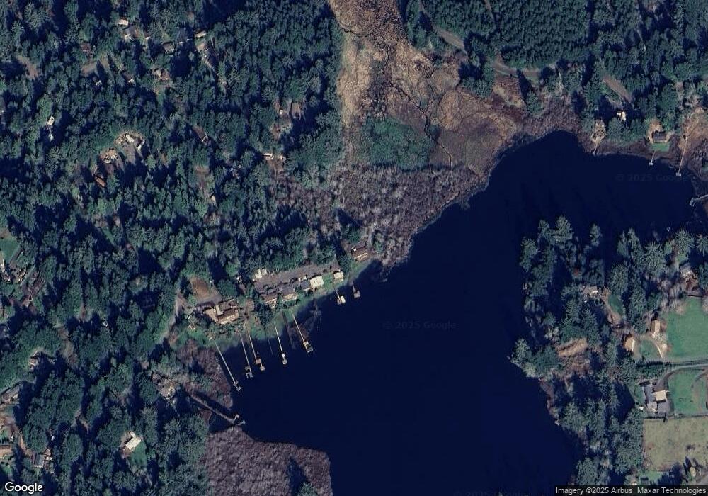
5680 Linda Way Florence, OR 97439
Estimated Value: $438,000 - $578,000
3
Beds
2
Baths
1,568
Sq Ft
$323/Sq Ft
Est. Value
About This Home
This home is located at 5680 Linda Way, Florence, OR 97439 and is currently estimated at $506,298, approximately $322 per square foot. 5680 Linda Way is a home located in Lane County with nearby schools including Siuslaw Elementary School, Siuslaw Middle School, and Siuslaw High School.
Ownership History
Date
Name
Owned For
Owner Type
Purchase Details
Closed on
Dec 8, 2014
Sold by
Hewlett Dawn M
Bought by
Cavarno Bruce Anthony and Cavarno Alan Wayne
Current Estimated Value
Home Financials for this Owner
Home Financials are based on the most recent Mortgage that was taken out on this home.
Original Mortgage
$182,250
Outstanding Balance
$62,982
Interest Rate
3.95%
Mortgage Type
New Conventional
Estimated Equity
$443,316
Purchase Details
Closed on
Sep 6, 2000
Sold by
Etal Horton Vernon D Te and Etal Mary E
Bought by
Burkhart Brook D and Burkhart Sheryl L
Create a Home Valuation Report for This Property
The Home Valuation Report is an in-depth analysis detailing your home's value as well as a comparison with similar homes in the area
Home Values in the Area
Average Home Value in this Area
Purchase History
| Date | Buyer | Sale Price | Title Company |
|---|---|---|---|
| Cavarno Bruce Anthony | $243,000 | Cascade Title Company | |
| Burkhart Brook D | $1,100 | Western Pioneer Title Co |
Source: Public Records
Mortgage History
| Date | Status | Borrower | Loan Amount |
|---|---|---|---|
| Open | Cavarno Bruce Anthony | $182,250 |
Source: Public Records
Tax History Compared to Growth
Tax History
| Year | Tax Paid | Tax Assessment Tax Assessment Total Assessment is a certain percentage of the fair market value that is determined by local assessors to be the total taxable value of land and additions on the property. | Land | Improvement |
|---|---|---|---|---|
| 2024 | $2,788 | $252,369 | -- | -- |
| 2023 | $2,788 | $245,019 | $0 | $0 |
| 2022 | $2,599 | $237,883 | $0 | $0 |
| 2021 | $2,527 | $230,955 | $0 | $0 |
| 2020 | $2,454 | $224,229 | $0 | $0 |
| 2019 | $2,358 | $217,699 | $0 | $0 |
| 2018 | $2,373 | $205,203 | $0 | $0 |
| 2017 | $2,295 | $205,203 | $0 | $0 |
| 2016 | $2,230 | $199,226 | $0 | $0 |
| 2015 | $2,230 | $193,423 | $0 | $0 |
Source: Public Records
Map
Nearby Homes
- 0 Levage Dr Unit 5600 24415074
- 89388 View Dr
- 89311 Sutton Lake Dr
- 89298 Sutton Lake Dr
- 89159 Sutton Lake Rd
- 89228 Shore Crest Dr
- 89510 Highway 101 Unit 26
- 89510 Highway 101 Unit 23
- 89349 Rustic Ln
- 5590 S Shore Dr
- 88921 Bayberry Ln
- 0 Sand Dune Park Dr Unit TL 800 254608161
- 89911 Ben Bunch Rd
- 0 View Loop Unit 3 526137347
- 5938 View Loop
- 6027 View Loop
- 0 Collard Lake Rd Unit 598901752
- 0 Collard Loop Unit 534944077
- 88616 Ocean View Ln
- 6651 Twin Fawn Dr
- 5677 Linda Way
- 5668 Linda Way
- 5656 Linda Way
- 0 Linda Way Unit 1400 23397829
- 0 Linda Way
- 5648 Linda Way
- 89443 Levage Dr
- 5636 Linda Way
- 89433 Levage Dr
- 5625 Linda Way
- 89447 Levage Dr
- 5620 Linda Way
- 89381 Levage Dr
- 89436 Levage Dr
- 89426 Levage Dr
- 89374 Levage Dr
- 0 Levage Dr Unit 5600 23567810
- 0 Levage Dr Unit 5600 22180927
- 0 Levage Dr Unit 21532214
- 0 Levage Dr Unit 20508833
