5680 S 600 W Westpoint, IN 47992
Estimated Value: $401,000 - $492,000
3
Beds
2
Baths
1,815
Sq Ft
$235/Sq Ft
Est. Value
About This Home
This home is located at 5680 S 600 W, Westpoint, IN 47992 and is currently estimated at $427,251, approximately $235 per square foot. 5680 S 600 W is a home with nearby schools including Mintonye Elementary School, Southwestern Middle School, and McCutcheon High School.
Ownership History
Date
Name
Owned For
Owner Type
Purchase Details
Closed on
Oct 10, 2017
Sold by
Hawley James D
Bought by
Dexter Steven Timothy and Dexter Betty Orena
Current Estimated Value
Purchase Details
Closed on
Apr 3, 2003
Sold by
Pearson Larry D and Pearson Helen
Bought by
Hawley James D
Create a Home Valuation Report for This Property
The Home Valuation Report is an in-depth analysis detailing your home's value as well as a comparison with similar homes in the area
Home Values in the Area
Average Home Value in this Area
Purchase History
| Date | Buyer | Sale Price | Title Company |
|---|---|---|---|
| Dexter Steven Timothy | -- | -- | |
| Hawley James D | -- | -- |
Source: Public Records
Tax History Compared to Growth
Tax History
| Year | Tax Paid | Tax Assessment Tax Assessment Total Assessment is a certain percentage of the fair market value that is determined by local assessors to be the total taxable value of land and additions on the property. | Land | Improvement |
|---|---|---|---|---|
| 2024 | $2,471 | $341,700 | $47,200 | $294,500 |
| 2023 | $2,228 | $307,100 | $23,100 | $284,000 |
| 2022 | $2,120 | $267,900 | $23,100 | $244,800 |
| 2021 | $1,883 | $239,000 | $23,100 | $215,900 |
| 2020 | $1,658 | $219,800 | $23,100 | $196,700 |
| 2019 | $1,584 | $213,000 | $23,100 | $189,900 |
| 2018 | $795 | $125,800 | $23,100 | $102,700 |
| 2017 | $47 | $3,200 | $3,200 | $0 |
| 2016 | $48 | $3,200 | $3,200 | $0 |
| 2014 | $47 | $3,200 | $3,200 | $0 |
| 2013 | $50 | $3,200 | $3,200 | $0 |
Source: Public Records
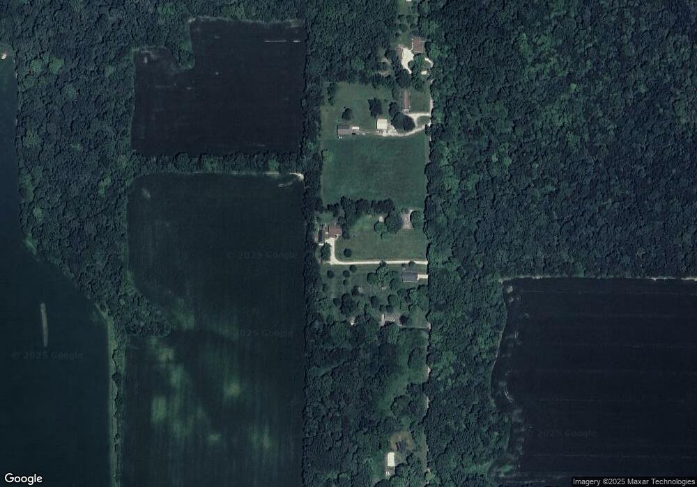
Map
Nearby Homes
- 5819 S 700 W
- 6243 S 700 W
- 6943 Main St
- 6956 Main St
- 7008 Main St
- 4511 Indiana 25
- 5703 S 900 W
- 4514 Indiana 25
- 4510 Indiana 25
- 0 Cr 950 W Unit 202536357
- 4550 S 175 W
- 4545 S 175 W
- 5944 N 820 E
- 6551 S 150 W
- 809 Ravenstone Dr
- 825 Drydock Dr
- 1062 N Admirals Pointe Dr
- 4254-4268 Admirals Cove Dr
- 4336 Admirals Cove Dr
- 864 Commodores Cir