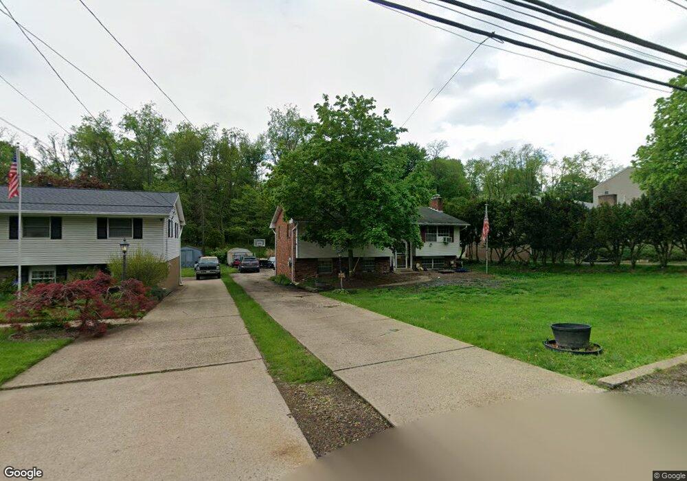
5681 Aiken Rd Mc Kees Rocks, PA 15136
Estimated Value: $268,000 - $290,000
3
Beds
2
Baths
1,320
Sq Ft
$211/Sq Ft
Est. Value
About This Home
This home is located at 5681 Aiken Rd, Mc Kees Rocks, PA 15136 and is currently estimated at $278,292, approximately $210 per square foot. 5681 Aiken Rd is a home located in Allegheny County with nearby schools including Montour Elementary School, David E. Williams Middle School, and Montour High School.
Ownership History
Date
Name
Owned For
Owner Type
Purchase Details
Closed on
Oct 28, 2011
Sold by
Schleter David J
Bought by
Matthews William W
Current Estimated Value
Home Financials for this Owner
Home Financials are based on the most recent Mortgage that was taken out on this home.
Original Mortgage
$142,450
Outstanding Balance
$97,418
Interest Rate
4.08%
Mortgage Type
VA
Estimated Equity
$180,874
Purchase Details
Closed on
Apr 16, 1999
Sold by
Wildman Billy B and Wildman Lori D
Bought by
Schleter David J and Schleter Kristin B
Purchase Details
Closed on
Jan 1, 1900
Create a Home Valuation Report for This Property
The Home Valuation Report is an in-depth analysis detailing your home's value as well as a comparison with similar homes in the area
Home Values in the Area
Average Home Value in this Area
Purchase History
| Date | Buyer | Sale Price | Title Company |
|---|---|---|---|
| Matthews William W | $137,900 | -- | |
| Schleter David J | $112,000 | -- | |
| -- | -- | -- |
Source: Public Records
Mortgage History
| Date | Status | Borrower | Loan Amount |
|---|---|---|---|
| Open | Matthews William W | $142,450 |
Source: Public Records
Tax History Compared to Growth
Tax History
| Year | Tax Paid | Tax Assessment Tax Assessment Total Assessment is a certain percentage of the fair market value that is determined by local assessors to be the total taxable value of land and additions on the property. | Land | Improvement |
|---|---|---|---|---|
| 2025 | $3,299 | $127,400 | $49,300 | $78,100 |
| 2024 | $3,299 | $127,400 | $49,300 | $78,100 |
| 2023 | $3,299 | $127,400 | $49,300 | $78,100 |
| 2022 | $3,299 | $127,400 | $49,300 | $78,100 |
| 2021 | $603 | $127,400 | $49,300 | $78,100 |
| 2020 | $3,299 | $127,400 | $49,300 | $78,100 |
| 2019 | $3,299 | $127,400 | $49,300 | $78,100 |
| 2018 | $603 | $127,400 | $49,300 | $78,100 |
| 2017 | $3,222 | $127,400 | $49,300 | $78,100 |
| 2016 | $603 | $127,400 | $49,300 | $78,100 |
| 2015 | $603 | $127,400 | $49,300 | $78,100 |
| 2014 | $3,087 | $127,400 | $49,300 | $78,100 |
Source: Public Records
Map
Nearby Homes
- 5650 Aiken Rd
- 1017 Silver Ln
- 5813 Steubenville Pike
- 0 Winter Dr
- 101 Cole Dr
- 102 Cole Dr
- Lot 8 Beaver Grade Rd
- Lot 5 Beaver Grade Rd
- Lot 6 Beaver Grade Rd
- Lot 7 Beaver Grade Rd
- Lot 3 Beaver Grade Rd
- Lot 4 Beaver Grade Rd
- Lot 2 Beaver Grade Rd
- LOT 1 Beaver Grade Rd
- (Parcel ID# 0205D289 Moon Run Rd
- 131 Cole Dr
- 104 Victoria Dr
- 5394 Steubenville Pike
- 105 Victoria Dr
- 144 Cole Dr
- 5679 Aiken Rd
- 5683 Aiken Rd
- 5677 Aiken Rd
- 5685 Aiken Rd
- 5675 Aiken Rd
- 5687 Aiken Rd
- 5673 Aiken Rd
- 5689 Aiken Rd
- 38 Robin Hill Dr
- 36 Robin Hill Dr
- 5671 Aiken Rd
- 5691 Aiken Rd
- 40 Robin Hill Dr
- 34 Robin Hill Dr
- 5669 Aiken Rd
- 1101 Countryside Dr
- 5693 Aiken Rd
- 32 Robin Hill Dr
- 1102 Countryside Dr Unit 1102
- 1103 Countryside Dr