5681 Chesnee Hwy Unit 5679 Chesnee, SC 29323
Estimated Value: $163,057 - $288,000
3
Beds
1
Bath
1,770
Sq Ft
$127/Sq Ft
Est. Value
About This Home
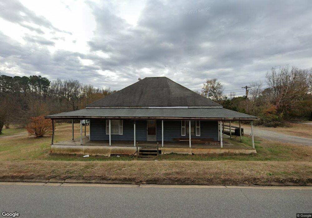
This home is located at 5681 Chesnee Hwy Unit 5679, Chesnee, SC 29323 and is currently estimated at $225,014, approximately $127 per square foot. 5681 Chesnee Hwy Unit 5679 is a home located in Spartanburg County with nearby schools including Chesnee Elementary School, Chesnee Middle School, and Chesnee High School.
Ownership History
Date
Name
Owned For
Owner Type
Purchase Details
Closed on
Sep 14, 2025
Sold by
Williams William Edward
Bought by
Womack Sonia
Current Estimated Value
Purchase Details
Closed on
Jul 20, 2025
Sold by
Mccarter Brian K
Bought by
Womack Sonia
Purchase Details
Closed on
Nov 11, 2010
Sold by
Williams Emma C and Mccarter Martha Ann
Bought by
Vinesett Jeffrey W and Vinesett Julie
Purchase Details
Closed on
Aug 1, 2002
Sold by
Williams Emma C and Williams William Edward
Bought by
Mccarter Brian K and Mccarter Martha W
Create a Home Valuation Report for This Property
The Home Valuation Report is an in-depth analysis detailing your home's value as well as a comparison with similar homes in the area
Home Values in the Area
Average Home Value in this Area
Purchase History
| Date | Buyer | Sale Price | Title Company |
|---|---|---|---|
| Womack Sonia | -- | None Listed On Document | |
| Womack Sonia | -- | None Listed On Document | |
| Womack Sonia | -- | None Listed On Document | |
| Womack Sonia | -- | None Listed On Document | |
| Vinesett Jeffrey W | $6,000 | -- | |
| Mccarter Brian K | -- | -- |
Source: Public Records
Tax History Compared to Growth
Tax History
| Year | Tax Paid | Tax Assessment Tax Assessment Total Assessment is a certain percentage of the fair market value that is determined by local assessors to be the total taxable value of land and additions on the property. | Land | Improvement |
|---|---|---|---|---|
| 2025 | $1,728 | $4,844 | $1,172 | $3,672 |
| 2024 | $1,728 | $4,844 | $1,172 | $3,672 |
| 2023 | $1,728 | $4,844 | $1,172 | $3,672 |
| 2022 | $504 | $2,808 | $608 | $2,200 |
| 2021 | $332 | $2,808 | $608 | $2,200 |
| 2020 | $322 | $2,808 | $608 | $2,200 |
| 2019 | $322 | $2,808 | $608 | $2,200 |
| 2018 | $315 | $2,808 | $608 | $2,200 |
| 2017 | $293 | $2,664 | $608 | $2,056 |
| 2016 | $293 | $2,664 | $608 | $2,056 |
| 2015 | $288 | $2,664 | $608 | $2,056 |
| 2014 | $283 | $2,664 | $608 | $2,056 |
Source: Public Records
Map
Nearby Homes
- 164 Old Airport Rd
- 220 Oak St
- 803 Battleground Rd
- 248 Jonestown Rd
- 236 Overhead Bridge Rd
- 1072 Piedmont Rd
- 1082 Piedmont Rd
- 525 Island Creek Rd
- 501 Mcgraw Rd
- 616 Mcarthur St
- 494 Overhead Bridge Rd
- P/O 491 Island Creek Rd
- 310 Clarendon Ct
- 6 Carolina Oaks Dr
- 312 E Union St
- 0 Paris Farm Rd Unit SPN328531
- 0 Paris Farm Rd Unit SPN328530
- 0 Paris Farm Rd Unit SPN328529
- 0 Paris Farm Rd Unit SPN328527
- 0 Paris Farm Rd Unit SPN328526
- 5675 Chesnee Hwy
- 5671 Chesnee Hwy
- 127 Thompson Rd
- 123 Thompson Rd
- 119 Thompson Rd
- 127 Allen St
- 5663 Chesnee Hwy
- 5659 Chesnee Hwy
- 213 Thompson Rd
- 203 Battleground Rd
- 221 Battleground Rd
- 121 Battleground Rd
- 206 Thompson Rd
- 109 Helen Henderson Dr
- 5655 Helen Henderson Dr
- 217 Thompson Rd
- 5655 Chesnee Hwy
- 131 Thompson Ave
- 155 Thompson Ave
- 214 Thompson Rd