5681 Watson Price Rd Morganton, NC 28655
Estimated Value: $228,000 - $656,000
2
Beds
1
Bath
1,056
Sq Ft
$346/Sq Ft
Est. Value
About This Home
This home is located at 5681 Watson Price Rd, Morganton, NC 28655 and is currently estimated at $365,787, approximately $346 per square foot. 5681 Watson Price Rd is a home located in Burke County with nearby schools including Glen Alpine Elementary School, Table Rock Middle School, and Freedom High School.
Ownership History
Date
Name
Owned For
Owner Type
Purchase Details
Closed on
Mar 5, 2020
Sold by
Vonpingel Richard and Von Pingel Carolyn
Bought by
Vonpingel Carolyn and Von Pingel Katelyn
Current Estimated Value
Purchase Details
Closed on
Apr 3, 2013
Sold by
Lewis Reba Carolyn and Addison Connie
Bought by
Vonpingel Richard and Von Pingel Caroly
Purchase Details
Closed on
Jun 17, 2009
Sold by
Lewis Reba Carolyn
Bought by
Addison Connie and Lewis Reba Carolyn
Create a Home Valuation Report for This Property
The Home Valuation Report is an in-depth analysis detailing your home's value as well as a comparison with similar homes in the area
Home Values in the Area
Average Home Value in this Area
Purchase History
| Date | Buyer | Sale Price | Title Company |
|---|---|---|---|
| Vonpingel Carolyn | -- | None Available | |
| Vonpingel Richard | $40,000 | None Available | |
| Addison Connie | $15,000 | None Available |
Source: Public Records
Tax History Compared to Growth
Tax History
| Year | Tax Paid | Tax Assessment Tax Assessment Total Assessment is a certain percentage of the fair market value that is determined by local assessors to be the total taxable value of land and additions on the property. | Land | Improvement |
|---|---|---|---|---|
| 2025 | $1,785 | $246,259 | $31,674 | $214,585 |
| 2024 | $1,789 | $246,259 | $31,674 | $214,585 |
| 2023 | $1,701 | $246,259 | $31,674 | $214,585 |
| 2022 | $1,019 | $116,366 | $25,108 | $91,258 |
| 2021 | $1,013 | $116,366 | $25,108 | $91,258 |
| 2020 | $1,009 | $116,366 | $25,108 | $91,258 |
| 2019 | $1,009 | $116,366 | $25,108 | $91,258 |
| 2018 | $940 | $109,234 | $25,108 | $84,126 |
| 2017 | $938 | $109,234 | $25,108 | $84,126 |
| 2016 | $917 | $109,234 | $25,108 | $84,126 |
| 2015 | $301 | $109,234 | $25,108 | $84,126 |
| 2014 | $299 | $30,604 | $24,980 | $5,624 |
| 2013 | $299 | $30,604 | $24,980 | $5,624 |
Source: Public Records
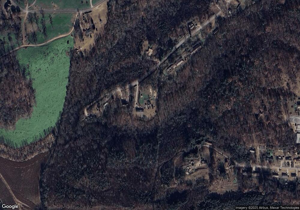
Map
Nearby Homes
- 5063 Dysartsville Rd
- 5188 Dysartsville Rd
- 1664 Muddy Creek Rd Unit 1597
- Lot 57 Perennial Dr
- 00 Dirksen Ave Unit 68
- 0 Dirksen Ave Unit 62
- TBD Dirksen Ave Unit 61
- TBD Dirksen Ave Unit 60
- 4762 Tallent Rd
- 00 John Reep St
- 31 Hull Ave
- Lot 73 Tayberry Dr
- 96 Patton Valley Dr
- Lot 74 Tayberry Dr
- Lot 75 Tayberry Dr
- 4156 Tallent Rd
- 4188 Tallent Rd
- 4148 Tallent Rd
- Lot 84 Smoothstem Ct
- 0 Dysartsville Rd Unit CAR4237128
- 5775 Watson Price Rd
- 5739 Watson Price Rd Unit 41
- 5740 Watson Price Rd
- 5640 W Pine Hills Ave Unit 65
- 5665 W Pine Hills Ave
- 5636 Watson Price Rd
- 5801 Bee Tree Ave
- 5585 W Pine Hills Ave
- 4898 Dysartsville Rd
- 5560 W Pine Hills Ave
- 5565 W Pine Hills Ave
- lot 93 W Pine Hills Ave Unit 93
- 5591 Watson Price Rd
- 5600 Watson Price Rd
- 5762 Bee Tree Ave
- 5555 W Pine Hills Ave
- 5540 W Pine Hills Ave
- 5530 W Pine Hills Ave
- 5535 W Pine Hills Ave
- 5520 W Pine Hills Ave