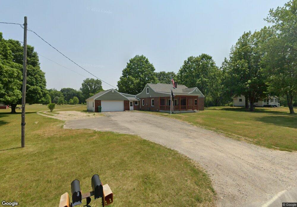
56818 Pear Rd South Bend, IN 46619
Estimated Value: $232,000 - $308,000
4
Beds
1
Bath
1,733
Sq Ft
$149/Sq Ft
Est. Value
About This Home
This home is located at 56818 Pear Rd, South Bend, IN 46619 and is currently estimated at $257,851, approximately $148 per square foot. 56818 Pear Rd is a home located in St. Joseph County with nearby schools including Paton-Churdan Elementary School, Wilson Elementary School, and Clay Intermediate Center.
Ownership History
Date
Name
Owned For
Owner Type
Purchase Details
Closed on
Oct 22, 2023
Sold by
Demeyer Adam and Demeyer Kandace
Bought by
Demeyer Adam
Current Estimated Value
Purchase Details
Closed on
Oct 17, 2009
Sold by
Gildner Sandra and Demeyer Albert J
Bought by
Demeyer Adam and Demeyer Kandace
Purchase Details
Closed on
Sep 1, 2009
Sold by
Gildner Sandra and Demeyer Albert J
Bought by
Gildner Sandra and Demeyer Albert J
Create a Home Valuation Report for This Property
The Home Valuation Report is an in-depth analysis detailing your home's value as well as a comparison with similar homes in the area
Home Values in the Area
Average Home Value in this Area
Purchase History
| Date | Buyer | Sale Price | Title Company |
|---|---|---|---|
| Demeyer Adam | -- | None Listed On Document | |
| Demeyer Adam | -- | None Available | |
| Gildner Sandra | -- | None Available |
Source: Public Records
Tax History Compared to Growth
Tax History
| Year | Tax Paid | Tax Assessment Tax Assessment Total Assessment is a certain percentage of the fair market value that is determined by local assessors to be the total taxable value of land and additions on the property. | Land | Improvement |
|---|---|---|---|---|
| 2024 | $1,165 | $157,400 | $48,700 | $108,700 |
| 2023 | $1,110 | $158,000 | $48,700 | $109,300 |
| 2022 | $1,754 | $158,000 | $48,700 | $109,300 |
| 2021 | $708 | $83,500 | $14,500 | $69,000 |
| 2020 | $690 | $83,500 | $14,500 | $69,000 |
| 2019 | $582 | $83,500 | $14,500 | $69,000 |
| 2018 | $647 | $84,500 | $14,500 | $70,000 |
| 2017 | $697 | $86,400 | $14,500 | $71,900 |
| 2016 | $756 | $86,400 | $14,500 | $71,900 |
| 2014 | $717 | $88,600 | $14,500 | $74,100 |
Source: Public Records
Map
Nearby Homes
- 57115 White Pine Trail
- 56451 Quince Rd
- 57223 Pine Needle Ct
- 57210 White Pine Trail
- 26541 Gaited Horse Trail
- 57248 Mcquade St
- 55629 Cardinal Dr
- 26366 Hummingbird Rd
- 27180 Harrison Rd
- 57860 Crumstown Hwy
- 57195 Pinewood Dr
- 54962 Quince Rd
- 55915 Dorn St
- 56435 Eastlea Dr
- 54483 Whitesell Dr
- 54520 Norwood Dr
- 54492 Avalon Dr
- 25260 Fillmore Rd
- 0 Lakewood Dr
- 56659 Tulip Rd
- 56818 Pear Rd
- 56838 Pear Rd
- 26566 Ford St
- 56803 Pear Rd
- 56777 Pear Rd
- 56845 Pear Rd
- 56750 Pear Rd
- 56765 Pear Rd
- 56761 Windsor Ave
- 56749 Pear Rd
- 56706 Pear Rd
- 56750 Windsor Ave
- 56925 Pear Rd
- 56730 Windsor Ave
- 56730 Windsor Ave Unit 87
- 56684 Pear Rd
- 56720 Windsor Ave
- 56965 Pear Rd
- 56689 Pear Rd
- 56700 Windsor Ave