56819 E 180 Rd Fairland, OK 74343
Estimated Value: $180,000 - $222,000
3
Beds
3
Baths
1,440
Sq Ft
$135/Sq Ft
Est. Value
About This Home
This home is located at 56819 E 180 Rd, Fairland, OK 74343 and is currently estimated at $195,042, approximately $135 per square foot. 56819 E 180 Rd is a home located in Ottawa County with nearby schools including Fairland Elementary School and Fairland High School.
Ownership History
Date
Name
Owned For
Owner Type
Purchase Details
Closed on
Feb 8, 2022
Sold by
Mowery and Alisa
Bought by
Mowery Shawn and Mowery Alisa
Current Estimated Value
Purchase Details
Closed on
Apr 20, 2015
Sold by
Mowery Gary and Mowery Shawn L
Bought by
Mowery Shawn L
Purchase Details
Closed on
May 7, 2010
Sold by
Bland Keven and Bland Karrie
Bought by
Ross Alisa Gay
Home Financials for this Owner
Home Financials are based on the most recent Mortgage that was taken out on this home.
Original Mortgage
$102,000
Interest Rate
4.93%
Mortgage Type
Unknown
Create a Home Valuation Report for This Property
The Home Valuation Report is an in-depth analysis detailing your home's value as well as a comparison with similar homes in the area
Purchase History
| Date | Buyer | Sale Price | Title Company |
|---|---|---|---|
| Mowery Shawn | -- | None Listed On Document | |
| Mowery Shawn L | -- | None Available | |
| Ross Alisa Gay | $110,000 | None Available |
Source: Public Records
Mortgage History
| Date | Status | Borrower | Loan Amount |
|---|---|---|---|
| Previous Owner | Ross Alisa Gay | $102,000 |
Source: Public Records
Tax History
| Year | Tax Paid | Tax Assessment Tax Assessment Total Assessment is a certain percentage of the fair market value that is determined by local assessors to be the total taxable value of land and additions on the property. | Land | Improvement |
|---|---|---|---|---|
| 2025 | $1,859 | $21,670 | $827 | $20,843 |
| 2024 | $1,771 | $20,639 | $827 | $19,812 |
| 2023 | $1,771 | $19,655 | $1,596 | $18,059 |
| 2022 | $1,687 | $18,719 | $1,596 | $17,123 |
| 2021 | $1,531 | $17,828 | $1,596 | $16,232 |
| 2020 | $1,348 | $16,979 | $1,596 | $15,383 |
| 2019 | $1,302 | $16,171 | $1,596 | $14,575 |
| 2018 | $1,254 | $15,401 | $1,596 | $13,805 |
| 2017 | $1,201 | $14,667 | $1,596 | $13,071 |
| 2016 | $1,156 | $13,969 | $1,596 | $12,373 |
| 2015 | $954 | $13,303 | $1,644 | $11,659 |
| 2014 | $1,002 | $12,917 | $1,036 | $11,881 |
Source: Public Records
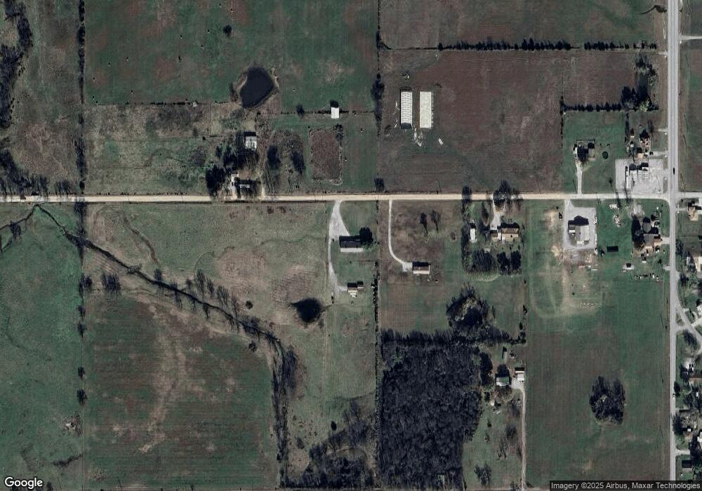
Map
Nearby Homes
- 344 Stauffer St
- 13 Quannah Dr
- 704 W Conner Ave
- 0 W Conner Ave
- 00000 Oklahoma 125
- 22601 Oklahoma 125
- 16 E Church Ave
- 3 N Elm St
- 303 W Market Ave
- 56550 E Highway 60
- 206 E Conner Ave
- 107 S Collins St
- 0 E 180 Rd
- 301 E Church Ave
- 398 E Church Ave
- 16901 S Highway 125
- TBD S 550 Rd
- 59300 E 170 Rd
- 20750 S 580 Rd
- 14701 S 560 Rd
- 56880 E 180 Rd
- 56800 E 180 Rd
- 56851 E 180 Rd
- 56800 E 182 Rd
- 56850 E 182 Rd
- 56990 E 180 Rd
- 18101 S Highway 125
- 17901 S Highway 125
- 17805 S Highway 125
- 355 Nunnamaker St
- 349 W Ritter Rd
- 354 Nunnamaker St
- 345 W Ritter Rd
- 345 W Ritter Rd
- 355 Nunamaker
- 355 Nunnamaker St
- 344 Nunnamaker St
- 334 Stauffer St
- 335 Stauffer St
- 501 Whitewing Cir
Your Personal Tour Guide
Ask me questions while you tour the home.