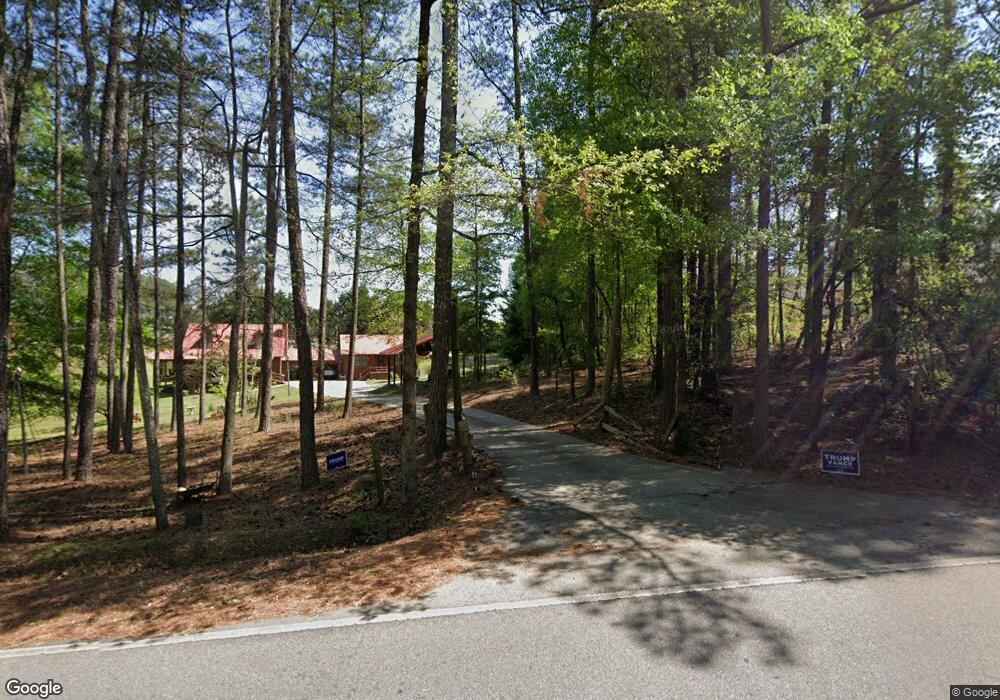
5682 Tyree Rd Winston, GA 30187
Bill Arp NeighborhoodEstimated Value: $471,000 - $588,000
3
Beds
1
Bath
2,267
Sq Ft
$243/Sq Ft
Est. Value
About This Home
This home is located at 5682 Tyree Rd, Winston, GA 30187 and is currently estimated at $550,489, approximately $242 per square foot. 5682 Tyree Rd is a home with nearby schools including South Douglas Elementary School, Fairplay Middle School, and Alexander High School.
Ownership History
Date
Name
Owned For
Owner Type
Purchase Details
Closed on
Mar 19, 2021
Sold by
Scogin Travis
Bought by
Scogin Katherine
Current Estimated Value
Purchase Details
Closed on
Mar 13, 2019
Sold by
Scogin Travis
Bought by
Scogin Travis and Scogin Katherine Rebecca
Create a Home Valuation Report for This Property
The Home Valuation Report is an in-depth analysis detailing your home's value as well as a comparison with similar homes in the area
Home Values in the Area
Average Home Value in this Area
Purchase History
| Date | Buyer | Sale Price | Title Company |
|---|---|---|---|
| Scogin Katherine | -- | -- | |
| Scogin Travis | -- | -- |
Source: Public Records
Tax History Compared to Growth
Tax History
| Year | Tax Paid | Tax Assessment Tax Assessment Total Assessment is a certain percentage of the fair market value that is determined by local assessors to be the total taxable value of land and additions on the property. | Land | Improvement |
|---|---|---|---|---|
| 2024 | $5,651 | $209,520 | $25,320 | $184,200 |
| 2023 | $5,651 | $209,520 | $25,320 | $184,200 |
| 2022 | $4,858 | $160,280 | $18,040 | $142,240 |
| 2021 | $4,471 | $140,600 | $18,040 | $122,560 |
| 2020 | $4,663 | $140,600 | $18,040 | $122,560 |
| 2019 | $559 | $18,040 | $18,040 | $0 |
| 2018 | $561 | $18,040 | $18,040 | $0 |
| 2017 | $381 | $12,000 | $12,000 | $0 |
| 2016 | $368 | $11,400 | $11,400 | $0 |
| 2015 | $444 | $11,040 | $11,040 | $0 |
| 2014 | $444 | $13,200 | $13,200 | $0 |
| 2013 | -- | $13,960 | $13,960 | $0 |
Source: Public Records
Map
Nearby Homes
- 5567 Tyree Rd
- 5512 Tyree Rd
- 5522 Tyree Rd
- 5320 N Helton Rd
- 5330 N Helton Rd
- 5320 N Helton Rd
- 5204 N Helton Rd
- 5419 Tyree Rd
- 9209 W Banks Mill Rd
- 5166 Liberty Rd
- 0 Post Rd Unit 10654195
- 0 Post Rd Unit 7689684
- 8839 Watkins Mill Rd
- 9700 S Helton Rd
- 4941 N Helton Rd
- 9731 Fallview Ct
- 5475 Trout Creek Dr
- 9742 Fallview Ct
- 8148 Lakeview Pkwy
- 8145 Lakeview Pkwy
- 5662 Tyree Rd
- 5698 Tyree Rd
- 5550 Tyree Rd
- 5671 Tyree Rd
- 5691 Tyree Rd
- 5726 Tyree Rd
- 5719 Tyree Rd
- 5653 Liberty Rd
- 5661 Liberty Church Rd
- 5732 Tyree Rd
- 5651 Liberty Church Rd
- 5681 Liberty Rd
- 5701 Liberty Rd
- 5744 Tyree Rd
- 5641 Liberty Church Rd
- 5620 Liberty Rd
- 5760 Tyree Rd
- 5630 Liberty Rd
- 5587 Liberty Church Rd
- 0 Liberty Rd Unit 3272098
