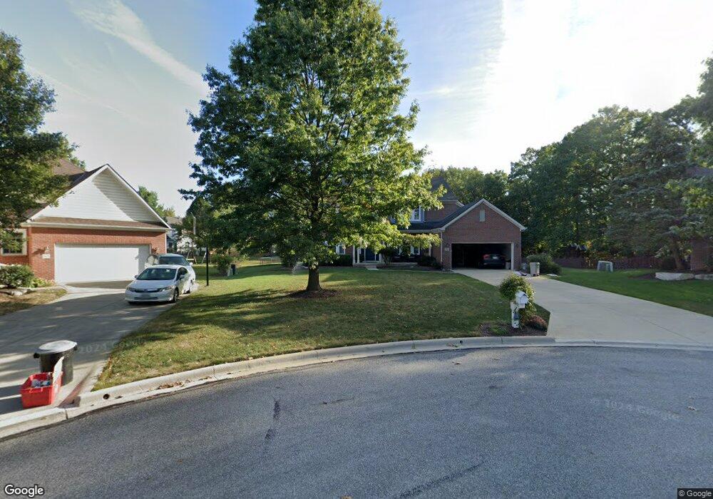
5683 Cypress Ct Westerville, OH 43082
Genoa NeighborhoodEstimated Value: $596,000 - $710,000
4
Beds
4
Baths
2,992
Sq Ft
$216/Sq Ft
Est. Value
About This Home
This home is located at 5683 Cypress Ct, Westerville, OH 43082 and is currently estimated at $646,650, approximately $216 per square foot. 5683 Cypress Ct is a home located in Delaware County with nearby schools including Fouse Elementary School, Genoa Middle School, and Westerville Central High School.
Ownership History
Date
Name
Owned For
Owner Type
Purchase Details
Closed on
Jan 2, 1997
Sold by
Franklin Home Builders I
Bought by
Thomas John A and Thomas Karen S
Current Estimated Value
Home Financials for this Owner
Home Financials are based on the most recent Mortgage that was taken out on this home.
Original Mortgage
$185,900
Outstanding Balance
$19,072
Interest Rate
7.13%
Mortgage Type
New Conventional
Estimated Equity
$627,578
Purchase Details
Closed on
Oct 6, 1994
Sold by
Onurb Ptns
Bought by
Franklin Home Builders
Create a Home Valuation Report for This Property
The Home Valuation Report is an in-depth analysis detailing your home's value as well as a comparison with similar homes in the area
Home Values in the Area
Average Home Value in this Area
Purchase History
| Date | Buyer | Sale Price | Title Company |
|---|---|---|---|
| Thomas John A | $232,589 | -- | |
| Franklin Home Builders | $387,280 | -- |
Source: Public Records
Mortgage History
| Date | Status | Borrower | Loan Amount |
|---|---|---|---|
| Open | Thomas John A | $185,900 |
Source: Public Records
Tax History Compared to Growth
Tax History
| Year | Tax Paid | Tax Assessment Tax Assessment Total Assessment is a certain percentage of the fair market value that is determined by local assessors to be the total taxable value of land and additions on the property. | Land | Improvement |
|---|---|---|---|---|
| 2024 | $10,076 | $194,780 | $41,090 | $153,690 |
| 2023 | $9,877 | $194,780 | $41,090 | $153,690 |
| 2022 | $8,576 | $130,170 | $25,410 | $104,760 |
| 2021 | $8,662 | $130,170 | $25,410 | $104,760 |
| 2020 | $8,714 | $130,170 | $25,410 | $104,760 |
| 2019 | $8,413 | $120,650 | $25,410 | $95,240 |
| 2018 | $8,156 | $120,650 | $25,410 | $95,240 |
| 2017 | $8,331 | $120,270 | $22,370 | $97,900 |
| 2016 | $8,743 | $120,270 | $22,370 | $97,900 |
| 2015 | $8,673 | $120,270 | $22,370 | $97,900 |
| 2014 | $8,568 | $120,270 | $22,370 | $97,900 |
| 2013 | $8,248 | $116,490 | $22,370 | $94,120 |
Source: Public Records
Map
Nearby Homes
- 7138 Cypress Dr
- 5515 Stillwater Ave
- 5633 Travis Pointe Ct
- 6402 Mission Hills Place
- 6363 Pinehurst Pointe Unit 66363
- 6311 Legends Ct
- 0 Paul Rd Unit 225001038
- 6623 Henschen Cir
- 543 N State St
- 6600 Hilmar Ct
- 49 Village Green Dr
- 5532 Meadowood Ln
- 223 Dogwood Ln
- 261 Dogwood Ln
- 4960 Hawthorne Valley Dr
- 82 Abbeycross Ln Unit 82
- 66 Abbeycross Ln
- 566 Chestnut Ave
- 7033 Steeplebush Ave
- 389 Ridgemoor Ln
- 5679 Cypress Ct
- 5690 Cypress Ct
- 5656 Innisbrook Ct
- 5672 Innisbrook Ct
- 5644 Innisbrook Ct
- 5632 Innisbrook Ct
- 5659 Cypress Ct
- 5720 Pine Wild Dr
- 5686 Innisbrook Ct
- 5620 Innisbrook Ct
- 5726 Pine Wild Dr
- 5612 Innisbrook Ct
- 5635 Cypress Ct
- 5656 Cypress Ct
- 5661 Innisbrook Ct
- 5730 Pine Wild Dr
- 5679 Innisbrook Ct
- 5598 Innisbrook Ct
- 5645 Innisbrook Ct
- 5742 Pine Wild Dr