5683 Little Mountain Rd Dahlonega, GA 30533
Estimated Value: $111,000 - $379,000
1
Bed
2
Baths
1,344
Sq Ft
$200/Sq Ft
Est. Value
About This Home
This home is located at 5683 Little Mountain Rd, Dahlonega, GA 30533 and is currently estimated at $269,260, approximately $200 per square foot. 5683 Little Mountain Rd is a home located in Lumpkin County with nearby schools including Lumpkin County High School.
Ownership History
Date
Name
Owned For
Owner Type
Purchase Details
Closed on
Apr 14, 2006
Sold by
Not Provided
Bought by
Gravitt William
Current Estimated Value
Purchase Details
Closed on
Jan 3, 2006
Sold by
Not Provided
Bought by
Gravitt William
Purchase Details
Closed on
May 22, 1995
Sold by
Betty
Bought by
Gravitt G W
Purchase Details
Closed on
Oct 19, 1989
Sold by
Betty
Bought by
Gravitt G W
Purchase Details
Closed on
Nov 1, 1985
Sold by
Lila
Bought by
Williamson Ernest J
Create a Home Valuation Report for This Property
The Home Valuation Report is an in-depth analysis detailing your home's value as well as a comparison with similar homes in the area
Home Values in the Area
Average Home Value in this Area
Purchase History
| Date | Buyer | Sale Price | Title Company |
|---|---|---|---|
| Gravitt William | $50,000 | -- | |
| Gravitt William | -- | -- | |
| Gravitt G W | -- | -- | |
| Gravitt G W | $21,000 | -- | |
| Williamson Ernest J | -- | -- |
Source: Public Records
Tax History Compared to Growth
Tax History
| Year | Tax Paid | Tax Assessment Tax Assessment Total Assessment is a certain percentage of the fair market value that is determined by local assessors to be the total taxable value of land and additions on the property. | Land | Improvement |
|---|---|---|---|---|
| 2024 | $1,329 | $53,522 | $26,984 | $26,538 |
| 2023 | $1,181 | $50,217 | $25,218 | $24,999 |
| 2022 | $1,125 | $45,460 | $21,014 | $24,446 |
| 2021 | $1,085 | $42,374 | $21,014 | $21,360 |
| 2020 | $1,082 | $41,010 | $20,134 | $20,876 |
| 2019 | $1,092 | $41,010 | $20,134 | $20,876 |
| 2018 | $1,067 | $37,611 | $20,134 | $17,477 |
| 2017 | $1,103 | $38,138 | $20,134 | $18,004 |
| 2016 | $1,030 | $34,458 | $20,134 | $14,324 |
| 2015 | $921 | $34,689 | $20,134 | $14,554 |
| 2014 | $921 | $34,946 | $20,134 | $14,811 |
| 2013 | -- | $34,977 | $20,134 | $14,842 |
Source: Public Records
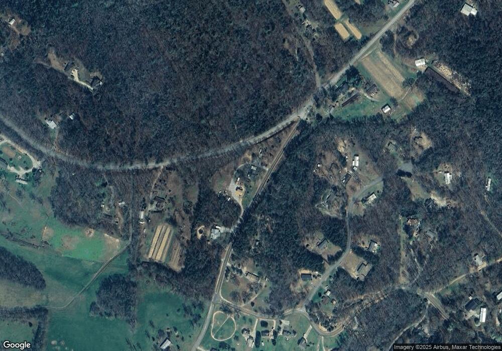
Map
Nearby Homes
- 2716 Bailey Waters Rd
- 47 Chester Rd
- 45 Chester Rd
- 117 Joes Cove
- 56 Deer Trail
- 590 Ridge Rd
- 61 Station Gap
- 00 Chester Rd
- 119 Waldrip Rd
- 1028 Jess Grizzle Rd
- 116 Lakota Dr
- 117 Poplar Dr
- Lot123 Mountain View Rd
- LOT 124 Mountain View Rd
- LOT 123 Mountain View Rd
- Lot124 Mountain View Rd
- 0 Mccormick Dr Unit 7568882
- 0 Mccormick Dr Unit 10509566
- 748 Elm Ln Unit 8A
- 748 Elm Ln
- 329 Max Wehunt Rd
- 5610 Little Mountain Rd
- 5597 Little Mountain Rd
- 5576 Little Mountain Rd
- 139 Mountain Pointe Dr
- 9063 Highway 52 W
- 0 Guy Waters Rd Unit 1 7041108
- 190 Mountain Pointe Dr
- 5486 Little Mountain Rd
- 33 Mountain Pointe Dr
- 8863 Highway 52 W
- 123 Guy Waters Rd
- 146 Mountain Pointe Dr
- 40 Mountain Pointe Dr
- 5471 Little Mountain Rd
- 5453 Little Mountain Rd Unit 7
- 5453 Little Mountain Rd
- 85 Harvest Dr
- 422 Wesley Ridge
- 5441 Little Mountain Rd