5685 S Broadview Rd Colfax, IN 46035
Estimated Value: $261,000 - $408,000
3
Beds
2
Baths
3,264
Sq Ft
$100/Sq Ft
Est. Value
About This Home
This home is located at 5685 S Broadview Rd, Colfax, IN 46035 and is currently estimated at $327,386, approximately $100 per square foot. 5685 S Broadview Rd is a home located in Clinton County with nearby schools including Clinton Prairie Elementary School and Clinton Prairie Junior/Senior High School.
Ownership History
Date
Name
Owned For
Owner Type
Purchase Details
Closed on
Oct 7, 2021
Sold by
Cook Diane E
Bought by
Cook Diane E
Current Estimated Value
Purchase Details
Closed on
Jul 13, 2009
Sold by
King Diane E and King Raymond E
Bought by
King Diane E
Home Financials for this Owner
Home Financials are based on the most recent Mortgage that was taken out on this home.
Original Mortgage
$177,859
Interest Rate
5.62%
Mortgage Type
FHA
Create a Home Valuation Report for This Property
The Home Valuation Report is an in-depth analysis detailing your home's value as well as a comparison with similar homes in the area
Home Values in the Area
Average Home Value in this Area
Purchase History
| Date | Buyer | Sale Price | Title Company |
|---|---|---|---|
| Cook Diane E | -- | Bc Law Firm Pa | |
| King Diane E | -- | None Available |
Source: Public Records
Mortgage History
| Date | Status | Borrower | Loan Amount |
|---|---|---|---|
| Previous Owner | King Diane E | $177,859 |
Source: Public Records
Tax History Compared to Growth
Tax History
| Year | Tax Paid | Tax Assessment Tax Assessment Total Assessment is a certain percentage of the fair market value that is determined by local assessors to be the total taxable value of land and additions on the property. | Land | Improvement |
|---|---|---|---|---|
| 2024 | $1,880 | $227,500 | $29,500 | $198,000 |
| 2023 | $1,909 | $227,500 | $29,500 | $198,000 |
| 2022 | $1,325 | $188,600 | $29,500 | $159,100 |
| 2021 | $989 | $144,100 | $29,500 | $114,600 |
| 2020 | $862 | $130,000 | $29,500 | $100,500 |
| 2019 | $783 | $130,000 | $29,500 | $100,500 |
| 2018 | $750 | $130,000 | $29,500 | $100,500 |
| 2017 | $688 | $128,600 | $29,500 | $99,100 |
| 2016 | $609 | $109,600 | $30,500 | $79,100 |
| 2014 | $441 | $107,700 | $16,700 | $91,000 |
Source: Public Records
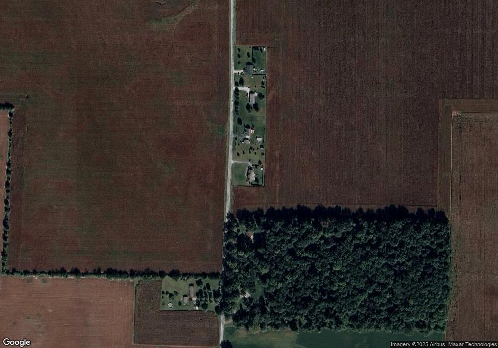
Map
Nearby Homes
- 208 E Midway St
- 304 W Jefferson St
- 404 W Franklin St
- 108 N Carter St
- 5778 W County Road 300 S
- 7018 S County Road 430 W
- 7001 N 1075 W
- 11818 Madison St
- 9322 Main St
- 11816 Orange St
- 2718 S County Road 450 W
- 7706 N 1000 E
- 7279 N 950 E
- 9305 Main St
- Juniper Plan at Westfall Place
- Chestnut Plan at Westfall Place
- Walnut Plan at Westfall Place
- Ironwood Plan at Westfall Place
- Empress Plan at Westfall Place
- Ashton Plan at Westfall Place
- 5647 S Broadview Rd
- 5787 S Broadview Rd
- 5571 S Broadview Rd Unit 1
- 5571 S Broadview Rd
- 5851 S Broadview Rd
- 5810 S Broadview Rd
- 5983 S Broadview Rd
- 5316 S Broadview Rd
- 309 N Illinois St
- 301 N Illinois St
- 408 N Illinois St
- 404 N Illinois St
- 404 E Ayres St
- 308 N Illinois St
- 403 E Ayres St
- 403 N Indiana St
- 300 N Illinois St
- 403 E Ohio St
- 5801 S County Road 880 W
- 5801 S Co Road 880 W